
| Memorials | : | 7 |
| Location | : | Chillicothe, Livingston County, USA |
| Coordinate | : | 39.8245560, -93.6696050 |
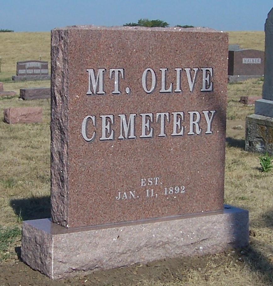
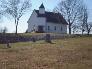
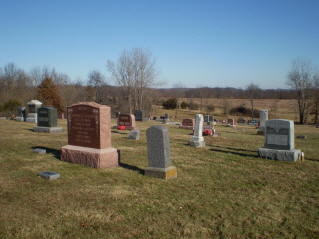
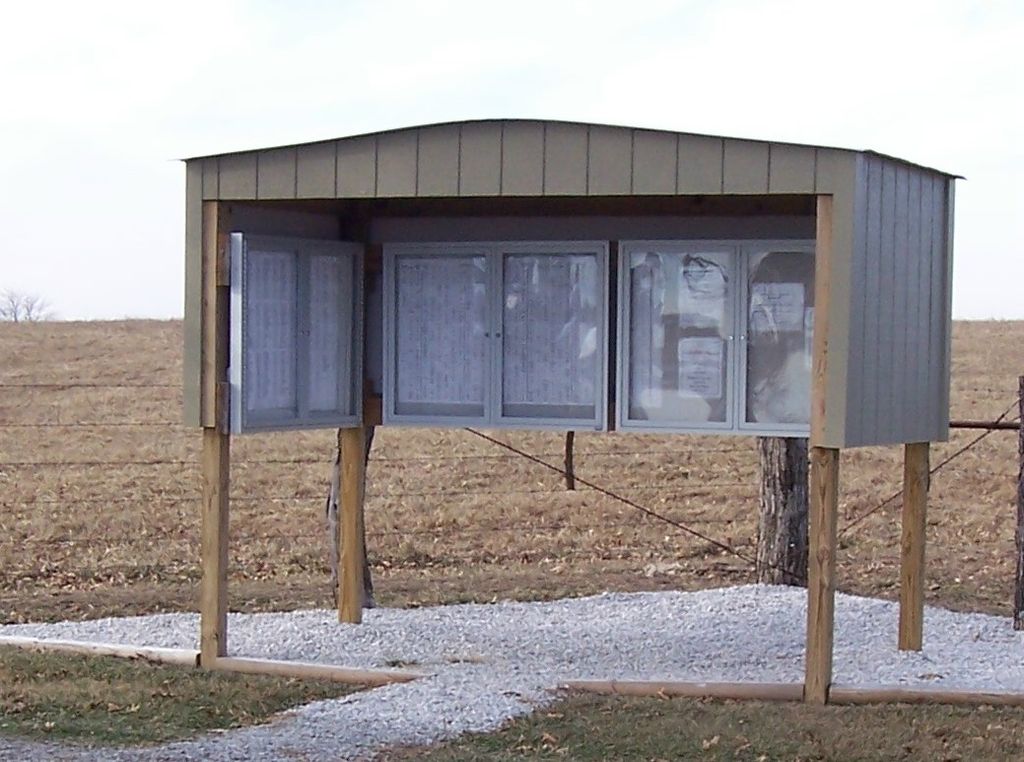
| Description | : | Mount Olive Cemetery was founded on January 11, 1892 by the Mount Olive Methodist Church. It is located West of Chillicothe, Missouri on Hwy 190, then South 1 mile on Hwy N, then East 1 mile on County road 528. On June 4, 1962 the cemetery was separated from the church and incorporated in Missouri as “The Mount Olive Cemetery Association of Livingston County, Incorporated”. The Cemetery Association is managed by a 12 member Board of Directors elected by the membership at the Annual Meeting held each May. The cemetery is 3 acres in size and well maintained. The cemetery... Read More |
frequently asked questions (FAQ):
-
Where is Mount Olive Cemetery?
Mount Olive Cemetery is located at Chillicothe, Livingston County ,Missouri ,USA.
-
Mount Olive Cemetery cemetery's updated grave count on graveviews.com?
7 memorials
-
Where are the coordinates of the Mount Olive Cemetery?
Latitude: 39.8245560
Longitude: -93.6696050
Nearby Cemetories:
1. Curtis Cemetery
Livingston County, USA
Coordinate: 39.8399140, -93.6710210
2. Pleasant Ridge Cemetery
Chillicothe, Livingston County, USA
Coordinate: 39.8293100, -93.7104700
3. Gibbons Cemetery
Sampsel, Livingston County, USA
Coordinate: 39.8283130, -93.7120060
4. Mount Pleasant Cemetery
Chillicothe, Livingston County, USA
Coordinate: 39.8592600, -93.6576900
5. Spring Hill Cemetery
Livingston County, USA
Coordinate: 39.8790700, -93.6487300
6. Anderson-Smith Cemetery
Chillicothe, Livingston County, USA
Coordinate: 39.8352500, -93.5828600
7. Rucker Burial
Mooresville, Livingston County, USA
Coordinate: 39.7477385, -93.6874804
8. Edgewood Cemetery
Chillicothe, Livingston County, USA
Coordinate: 39.8000717, -93.5647049
9. Mooresville Cemetery
Mooresville, Livingston County, USA
Coordinate: 39.7502000, -93.7221600
10. Gaunt Cemetery
Mooresville, Livingston County, USA
Coordinate: 39.7691600, -93.7566900
11. Lock Springs Cemetery
Lock Springs, Daviess County, USA
Coordinate: 39.8529333, -93.7772167
12. Forest Park Cemetery
Chillicothe, Livingston County, USA
Coordinate: 39.8073800, -93.5575800
13. Hudgins Cemetery
Mooresville, Livingston County, USA
Coordinate: 39.7428200, -93.7183100
14. Utica Cemetery
Utica, Livingston County, USA
Coordinate: 39.7366819, -93.6361158
15. Resthaven Memorial Gardens
Chillicothe, Livingston County, USA
Coordinate: 39.8308900, -93.5457100
16. Kessler Cemetery
Livingston County, USA
Coordinate: 39.7972069, -93.5480000
17. Lilly Grove Cemetery
Livingston County, USA
Coordinate: 39.9221200, -93.6886200
18. Hutchison Cemetery
Chillicothe, Livingston County, USA
Coordinate: 39.9261690, -93.6842700
19. Saint Columban Catholic Cemetery
Chillicothe, Livingston County, USA
Coordinate: 39.8043700, -93.5361870
20. A.M.E. Church Cemetery
Chillicothe, Livingston County, USA
Coordinate: 39.8036500, -93.5330400
21. Dockery Cemetery
Livingston County, USA
Coordinate: 39.9323000, -93.6851900
22. Clear Creek Cemetery
Lock Springs, Daviess County, USA
Coordinate: 39.8862050, -93.7892800
23. Mount Zion Church Cemetery
Chillicothe, Livingston County, USA
Coordinate: 39.7676100, -93.5389100
24. Snidow Cemetery
Chillicothe, Livingston County, USA
Coordinate: 39.9385200, -93.7246200