
| Memorials | : | 0 |
| Location | : | Chillicothe, Livingston County, USA |
| Coordinate | : | 39.8036500, -93.5330400 |
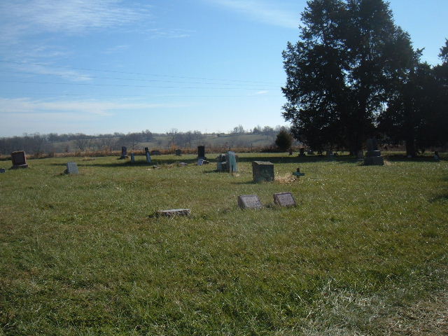
| Description | : | African-American Cemetery. In some Death Certicates, I notice the Cemetery in early 1900's was called North Methodist Cemetery. Located: Sec 58,Twp 58,Range 23, Rich Hill Township. From Hwy 65 in Chillicothe, Mo, Jackson St, to Broadway, North to Trenton Rd, East To North side of Airlane Trailer Counter, across railroad tracks. |
frequently asked questions (FAQ):
-
Where is A.M.E. Church Cemetery?
A.M.E. Church Cemetery is located at Chillicothe, Livingston County ,Missouri ,USA.
-
A.M.E. Church Cemetery cemetery's updated grave count on graveviews.com?
0 memorials
-
Where are the coordinates of the A.M.E. Church Cemetery?
Latitude: 39.8036500
Longitude: -93.5330400
Nearby Cemetories:
1. Saint Columban Catholic Cemetery
Chillicothe, Livingston County, USA
Coordinate: 39.8043700, -93.5361870
2. Kessler Cemetery
Livingston County, USA
Coordinate: 39.7972069, -93.5480000
3. Forest Park Cemetery
Chillicothe, Livingston County, USA
Coordinate: 39.8073800, -93.5575800
4. Edgewood Cemetery
Chillicothe, Livingston County, USA
Coordinate: 39.8000717, -93.5647049
5. Jones Cemetery
Chillicothe, Livingston County, USA
Coordinate: 39.7982800, -93.5009700
6. Resthaven Memorial Gardens
Chillicothe, Livingston County, USA
Coordinate: 39.8308900, -93.5457100
7. Mount Zion Church Cemetery
Chillicothe, Livingston County, USA
Coordinate: 39.7676100, -93.5389100
8. Anderson-Smith Cemetery
Chillicothe, Livingston County, USA
Coordinate: 39.8352500, -93.5828600
9. Ross Cemetery
Chillicothe, Livingston County, USA
Coordinate: 39.8428001, -93.4649963
10. Utica Cemetery
Utica, Livingston County, USA
Coordinate: 39.7366819, -93.6361158
11. May Cemetery
Cream Ridge, Livingston County, USA
Coordinate: 39.9077100, -93.5124500
12. Leopolis Cemetery
Livingston County, USA
Coordinate: 39.8646890, -93.4205510
13. Mount Olive Cemetery
Chillicothe, Livingston County, USA
Coordinate: 39.8245560, -93.6696050
14. Christison Cemetery
Blue Mound, Livingston County, USA
Coordinate: 39.6981400, -93.5751200
15. Ricket Cemetery
Chula, Livingston County, USA
Coordinate: 39.8800011, -93.4289017
16. Mount Pleasant Cemetery
Chillicothe, Livingston County, USA
Coordinate: 39.8592600, -93.6576900
17. Burnside Cemetery
Chillicothe, Livingston County, USA
Coordinate: 39.7036018, -93.4708023
18. Curtis Cemetery
Livingston County, USA
Coordinate: 39.8399140, -93.6710210
19. Wheeling Cemetery
Wheeling, Livingston County, USA
Coordinate: 39.7775110, -93.3888920
20. Spring Hill Cemetery
Livingston County, USA
Coordinate: 39.8790700, -93.6487300
21. Ward Cemetery
Farmersville, Livingston County, USA
Coordinate: 39.9324989, -93.5251999
22. Rucker Burial
Mooresville, Livingston County, USA
Coordinate: 39.7477385, -93.6874804
23. Plainview Cemetery
Chula, Livingston County, USA
Coordinate: 39.9291992, -93.4744034
24. Pleasant Ridge Cemetery
Chillicothe, Livingston County, USA
Coordinate: 39.8293100, -93.7104700