
| Memorials | : | 20 |
| Location | : | Chillicothe, Livingston County, USA |
| Coordinate | : | 39.8043700, -93.5361870 |
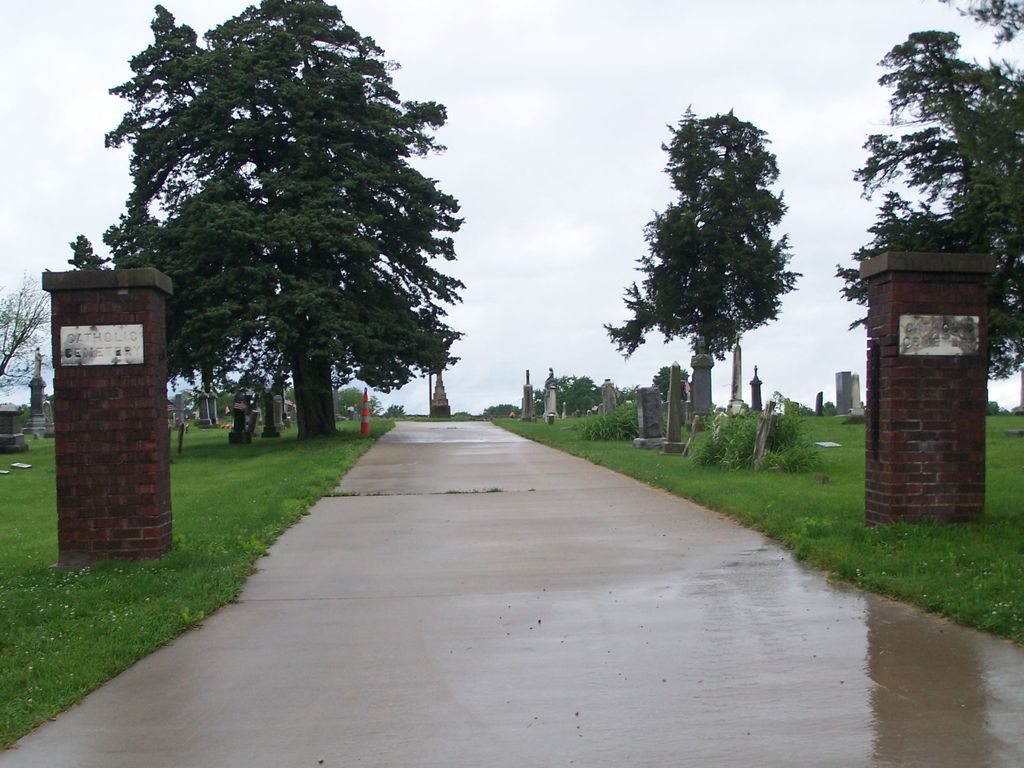
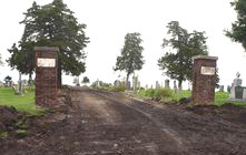
| Description | : | The Saint Columban Catholic Cemetery is located east of the Chillicothe city limits in Section 30, Township 58, Range 23 of Rich Hill Township in Livingston County, Missouri. To get there, take Washington Street (Highway 65) to Polk Street, go east to Broadway, then north to Trenton Road then east to Litton Road, then north to County Road 232, and then turn east and the cemetery is located about a quarter of a mile from Litton Road on the north side of County Road 232. |
frequently asked questions (FAQ):
-
Where is Saint Columban Catholic Cemetery?
Saint Columban Catholic Cemetery is located at Chillicothe, Livingston County ,Missouri ,USA.
-
Saint Columban Catholic Cemetery cemetery's updated grave count on graveviews.com?
17 memorials
-
Where are the coordinates of the Saint Columban Catholic Cemetery?
Latitude: 39.8043700
Longitude: -93.5361870
Nearby Cemetories:
1. A.M.E. Church Cemetery
Chillicothe, Livingston County, USA
Coordinate: 39.8036500, -93.5330400
2. Kessler Cemetery
Livingston County, USA
Coordinate: 39.7972069, -93.5480000
3. Forest Park Cemetery
Chillicothe, Livingston County, USA
Coordinate: 39.8073800, -93.5575800
4. Edgewood Cemetery
Chillicothe, Livingston County, USA
Coordinate: 39.8000717, -93.5647049
5. Resthaven Memorial Gardens
Chillicothe, Livingston County, USA
Coordinate: 39.8308900, -93.5457100
6. Jones Cemetery
Chillicothe, Livingston County, USA
Coordinate: 39.7982800, -93.5009700
7. Mount Zion Church Cemetery
Chillicothe, Livingston County, USA
Coordinate: 39.7676100, -93.5389100
8. Anderson-Smith Cemetery
Chillicothe, Livingston County, USA
Coordinate: 39.8352500, -93.5828600
9. Ross Cemetery
Chillicothe, Livingston County, USA
Coordinate: 39.8428001, -93.4649963
10. Utica Cemetery
Utica, Livingston County, USA
Coordinate: 39.7366819, -93.6361158
11. Mount Olive Cemetery
Chillicothe, Livingston County, USA
Coordinate: 39.8245560, -93.6696050
12. May Cemetery
Cream Ridge, Livingston County, USA
Coordinate: 39.9077100, -93.5124500
13. Leopolis Cemetery
Livingston County, USA
Coordinate: 39.8646890, -93.4205510
14. Mount Pleasant Cemetery
Chillicothe, Livingston County, USA
Coordinate: 39.8592600, -93.6576900
15. Curtis Cemetery
Livingston County, USA
Coordinate: 39.8399140, -93.6710210
16. Christison Cemetery
Blue Mound, Livingston County, USA
Coordinate: 39.6981400, -93.5751200
17. Ricket Cemetery
Chula, Livingston County, USA
Coordinate: 39.8800011, -93.4289017
18. Burnside Cemetery
Chillicothe, Livingston County, USA
Coordinate: 39.7036018, -93.4708023
19. Spring Hill Cemetery
Livingston County, USA
Coordinate: 39.8790700, -93.6487300
20. Wheeling Cemetery
Wheeling, Livingston County, USA
Coordinate: 39.7775110, -93.3888920
21. Ward Cemetery
Farmersville, Livingston County, USA
Coordinate: 39.9324989, -93.5251999
22. Rucker Burial
Mooresville, Livingston County, USA
Coordinate: 39.7477385, -93.6874804
23. Plainview Cemetery
Chula, Livingston County, USA
Coordinate: 39.9291992, -93.4744034
24. Pleasant Ridge Cemetery
Chillicothe, Livingston County, USA
Coordinate: 39.8293100, -93.7104700