
| Memorials | : | 420 |
| Location | : | Gibisonville, Hocking County, USA |
| Coordinate | : | 39.5071983, -82.5567017 |
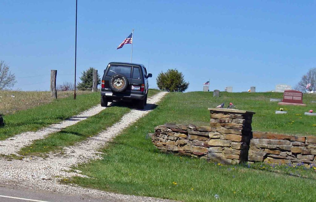
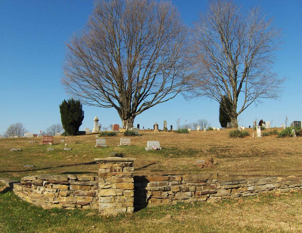
| Description | : | The cemetery is located on the southwest corner of the intersection of Ohio State Route 678 and Mount Olive Road (Township Road 221). The cemetery is 7 acres in size. The cemetery is located in Laurel Township, Hocking County, Ohio, and is # 5421 (Laurel Cemetery / Mount Olive Cemetery) in “Ohio Cemeteries 1803-2003”, compiled by the Ohio Genealogical Society. The cemetery is registered with the Ohio Division of Real Estate and Professional Licensing (ODRE) as Mt. Olive Cemetery with registration license number CGR.2007000513. The U.S. Geological Survey (USGS) Geographic Names Information System (GNIS) feature ID for the cemetery... Read More |
frequently asked questions (FAQ):
-
Where is Mount Olive Cemetery?
Mount Olive Cemetery is located at Ohio State Route 678 and Mount Olive Road Gibisonville, Hocking County ,Ohio , 43149USA.
-
Mount Olive Cemetery cemetery's updated grave count on graveviews.com?
412 memorials
-
Where are the coordinates of the Mount Olive Cemetery?
Latitude: 39.5071983
Longitude: -82.5567017
Nearby Cemetories:
1. Laurel Cemetery
Gibisonville, Hocking County, USA
Coordinate: 39.5073350, -82.5557060
2. Old Gibisonville ME United Brethren Cemetery
Gibisonville, Hocking County, USA
Coordinate: 39.4990770, -82.5651490
3. Boling Cemetery
Rockbridge, Hocking County, USA
Coordinate: 39.5108500, -82.5347700
4. Conrad Cemetery
Hocking County, USA
Coordinate: 39.5003400, -82.5277830
5. Hansen Cemetery
Laurel Township, Hocking County, USA
Coordinate: 39.5253340, -82.5788750
6. McBroom Cemetery
Laurel Township, Hocking County, USA
Coordinate: 39.5346985, -82.5643997
7. Homestead Crossing Cemetery
Rockbridge, Hocking County, USA
Coordinate: 39.5212690, -82.5891820
8. Grant-Moore Cemetery
Laurel Township, Hocking County, USA
Coordinate: 39.4993680, -82.5971620
9. Old Baptist Cemetery
Laurel Township, Hocking County, USA
Coordinate: 39.4901090, -82.5973750
10. Nihizer Cemetery
Falls Township, Hocking County, USA
Coordinate: 39.5145510, -82.5039870
11. West Pleasant Hill Cemetery
Good Hope Township, Hocking County, USA
Coordinate: 39.5499687, -82.5613708
12. Old Lutheran Cemetery
Falls Township, Hocking County, USA
Coordinate: 39.5262900, -82.5027700
13. Saint John Lutheran Cemetery
Maysville, Hocking County, USA
Coordinate: 39.5314370, -82.5032140
14. Prospect Cemetery
Washington Township, Hocking County, USA
Coordinate: 39.4817009, -82.5025024
15. Oak Grove Cemetery
South Perry, Hocking County, USA
Coordinate: 39.4722519, -82.6111603
16. Union Cemetery
Logan, Hocking County, USA
Coordinate: 39.5200790, -82.4841730
17. Pine Grove Cemetery
South Bloomingville, Hocking County, USA
Coordinate: 39.4509830, -82.5732730
18. Whippoorwill Cemetery
Good Hope Township, Hocking County, USA
Coordinate: 39.5677986, -82.5430984
19. Sours Cemetery
Laurel Township, Hocking County, USA
Coordinate: 39.4678001, -82.6216965
20. Collison Cemetery
Logan, Hocking County, USA
Coordinate: 39.4678879, -82.4882126
21. Kline Cemetery
Good Hope Township, Hocking County, USA
Coordinate: 39.5588070, -82.5035510
22. Fairview Memorial Gardens
Rockbridge, Hocking County, USA
Coordinate: 39.5594510, -82.5028920
23. Fairview Methodist Church Cemetery
Good Hope Township, Hocking County, USA
Coordinate: 39.5592499, -82.5011902
24. Brown Cemetery
Good Hope Township, Hocking County, USA
Coordinate: 39.5647583, -82.6028824