
| Memorials | : | 300 |
| Location | : | Maysville, Hocking County, USA |
| Phone | : | (740) 385-0254 |
| Coordinate | : | 39.5314370, -82.5032140 |
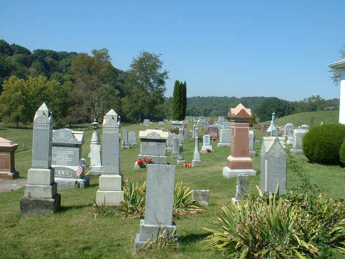
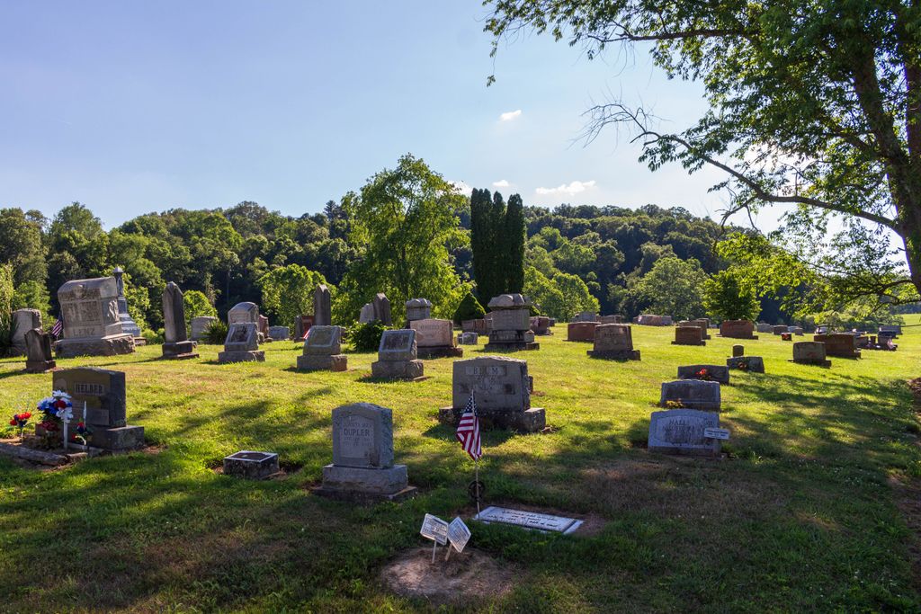
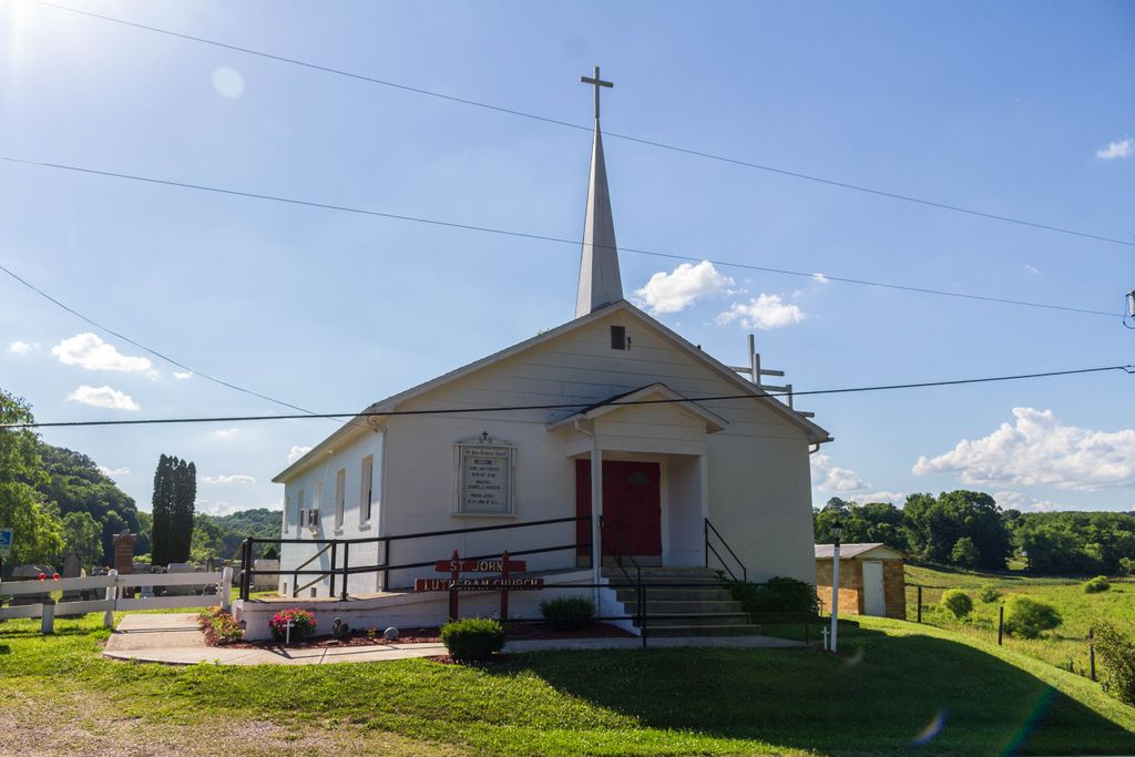
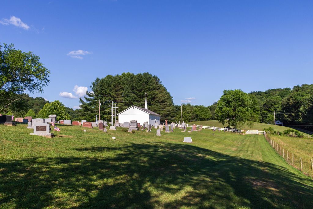
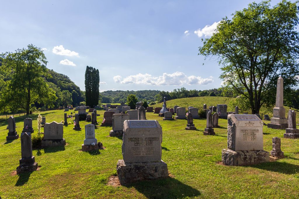
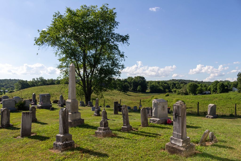
| Description | : | The cemetery is located behind the Saint John Lutheran Church on the west side of Pleasant Valley Road (County Road 5) The cemetery is located in Good Hope Township, Hocking County, Ohio, and is # 5424 (Saint John Lutheran Cemetery) in “Ohio Cemeteries 1803-2003”, compiled by the Ohio Genealogical Society. The U.S. Geological Survey (USGS) Geographic Names Information System (GNIS) feature ID for the cemetery is 1963601 (Saint John Lutheran Cemetery). Society. |
frequently asked questions (FAQ):
-
Where is Saint John Lutheran Cemetery?
Saint John Lutheran Cemetery is located at 13819 Pleasant Valley Road (County Road 5) Maysville, Hocking County ,Ohio , 43148USA.
-
Saint John Lutheran Cemetery cemetery's updated grave count on graveviews.com?
300 memorials
-
Where are the coordinates of the Saint John Lutheran Cemetery?
Latitude: 39.5314370
Longitude: -82.5032140

Nearby Cemetories:
1. Old Lutheran Cemetery
Falls Township, Hocking County, USA
Coordinate: 39.5262900, -82.5027700
2. Nihizer Cemetery
Falls Township, Hocking County, USA
Coordinate: 39.5145510, -82.5039870
3. Union Cemetery
Logan, Hocking County, USA
Coordinate: 39.5200790, -82.4841730
4. Kline Cemetery
Good Hope Township, Hocking County, USA
Coordinate: 39.5588070, -82.5035510
5. Fairview Methodist Church Cemetery
Good Hope Township, Hocking County, USA
Coordinate: 39.5592499, -82.5011902
6. Fairview Memorial Gardens
Rockbridge, Hocking County, USA
Coordinate: 39.5594510, -82.5028920
7. Antioch Cemetery
Enterprise, Hocking County, USA
Coordinate: 39.5573300, -82.4799700
8. Boling Cemetery
Rockbridge, Hocking County, USA
Coordinate: 39.5108500, -82.5347700
9. Conrad Cemetery
Hocking County, USA
Coordinate: 39.5003400, -82.5277830
10. Allbery Family Cemetery
Logan, Hocking County, USA
Coordinate: 39.4981860, -82.4675470
11. Knollwood Cemetery
Logan, Hocking County, USA
Coordinate: 39.5624410, -82.4629620
12. Dawley Wood Cemetery
Enterprise, Hocking County, USA
Coordinate: 39.5731670, -82.4818100
13. Laurel Cemetery
Gibisonville, Hocking County, USA
Coordinate: 39.5073350, -82.5557060
14. McBroom Cemetery
Laurel Township, Hocking County, USA
Coordinate: 39.5346985, -82.5643997
15. Whippoorwill Cemetery
Good Hope Township, Hocking County, USA
Coordinate: 39.5677986, -82.5430984
16. Mount Olive Cemetery
Gibisonville, Hocking County, USA
Coordinate: 39.5071983, -82.5567017
17. West Pleasant Hill Cemetery
Good Hope Township, Hocking County, USA
Coordinate: 39.5499687, -82.5613708
18. Centenary Cemetery
Enterprise, Hocking County, USA
Coordinate: 39.5802994, -82.4946976
19. Prospect Cemetery
Washington Township, Hocking County, USA
Coordinate: 39.4817009, -82.5025024
20. Morris Chapel Cemetery
Logan, Hocking County, USA
Coordinate: 39.4886779, -82.4634891
21. Scotts Creek Cemetery
Falls Township, Hocking County, USA
Coordinate: 39.5028000, -82.4389038
22. Old Gibisonville ME United Brethren Cemetery
Gibisonville, Hocking County, USA
Coordinate: 39.4990770, -82.5651490
23. Hansen Cemetery
Laurel Township, Hocking County, USA
Coordinate: 39.5253340, -82.5788750
24. Richards Family Cemetery
Rockbridge, Hocking County, USA
Coordinate: 39.5853680, -82.5390430