
| Memorials | : | 6 |
| Location | : | Laurel Township, Hocking County, USA |
| Coordinate | : | 39.5346985, -82.5643997 |
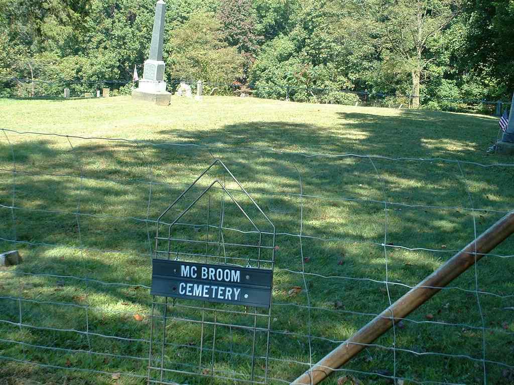
| Description | : | The cemetery is located about 300 feet north of Ohio State Route 374 about 0.2 miles west of its intersection with Marshall Road (Township Road 240). The cemetery is located in Laurel Township, Hocking County, Ohio, and is # 5422 (McBroom Cemetery) in “Ohio Cemeteries 1803-2003”, compiled by the Ohio Genealogical Society. The U.S. Geological Survey (USGS) Geographic Names Information System (GNIS) feature ID for the cemetery is 1043148 (McBroom Cemetery). |
frequently asked questions (FAQ):
-
Where is McBroom Cemetery?
McBroom Cemetery is located at Ohio State Route 374 Laurel Township, Hocking County ,Ohio , 43149USA.
-
McBroom Cemetery cemetery's updated grave count on graveviews.com?
6 memorials
-
Where are the coordinates of the McBroom Cemetery?
Latitude: 39.5346985
Longitude: -82.5643997
Nearby Cemetories:
1. Hansen Cemetery
Laurel Township, Hocking County, USA
Coordinate: 39.5253340, -82.5788750
2. West Pleasant Hill Cemetery
Good Hope Township, Hocking County, USA
Coordinate: 39.5499687, -82.5613708
3. Homestead Crossing Cemetery
Rockbridge, Hocking County, USA
Coordinate: 39.5212690, -82.5891820
4. Mount Olive Cemetery
Gibisonville, Hocking County, USA
Coordinate: 39.5071983, -82.5567017
5. Laurel Cemetery
Gibisonville, Hocking County, USA
Coordinate: 39.5073350, -82.5557060
6. Boling Cemetery
Rockbridge, Hocking County, USA
Coordinate: 39.5108500, -82.5347700
7. Old Gibisonville ME United Brethren Cemetery
Gibisonville, Hocking County, USA
Coordinate: 39.4990770, -82.5651490
8. Whippoorwill Cemetery
Good Hope Township, Hocking County, USA
Coordinate: 39.5677986, -82.5430984
9. Brown Cemetery
Good Hope Township, Hocking County, USA
Coordinate: 39.5647583, -82.6028824
10. Union Church Cemetery
Good Hope Township, Hocking County, USA
Coordinate: 39.5774498, -82.5608368
11. Grant-Moore Cemetery
Laurel Township, Hocking County, USA
Coordinate: 39.4993680, -82.5971620
12. Union Grove Cemetery
Rockbridge, Hocking County, USA
Coordinate: 39.5776520, -82.5558070
13. Conrad Cemetery
Hocking County, USA
Coordinate: 39.5003400, -82.5277830
14. Pisgah Cemetery
Good Hope Township, Hocking County, USA
Coordinate: 39.5610199, -82.6120224
15. Saint John Lutheran Cemetery
Maysville, Hocking County, USA
Coordinate: 39.5314370, -82.5032140
16. Old Lutheran Cemetery
Falls Township, Hocking County, USA
Coordinate: 39.5262900, -82.5027700
17. Nihizer Cemetery
Falls Township, Hocking County, USA
Coordinate: 39.5145510, -82.5039870
18. Old Baptist Cemetery
Laurel Township, Hocking County, USA
Coordinate: 39.4901090, -82.5973750
19. Kline Cemetery
Good Hope Township, Hocking County, USA
Coordinate: 39.5588070, -82.5035510
20. Fairview Memorial Gardens
Rockbridge, Hocking County, USA
Coordinate: 39.5594510, -82.5028920
21. Richards Family Cemetery
Rockbridge, Hocking County, USA
Coordinate: 39.5853680, -82.5390430
22. Fairview Methodist Church Cemetery
Good Hope Township, Hocking County, USA
Coordinate: 39.5592499, -82.5011902
23. Morgan Chapel Cemetery
Rockbridge, Hocking County, USA
Coordinate: 39.5542908, -82.6383438
24. Union Cemetery
Logan, Hocking County, USA
Coordinate: 39.5200790, -82.4841730