
| Memorials | : | 1 |
| Location | : | Moore County, USA |
| Coordinate | : | 35.4838290, -79.7376190 |
frequently asked questions (FAQ):
-
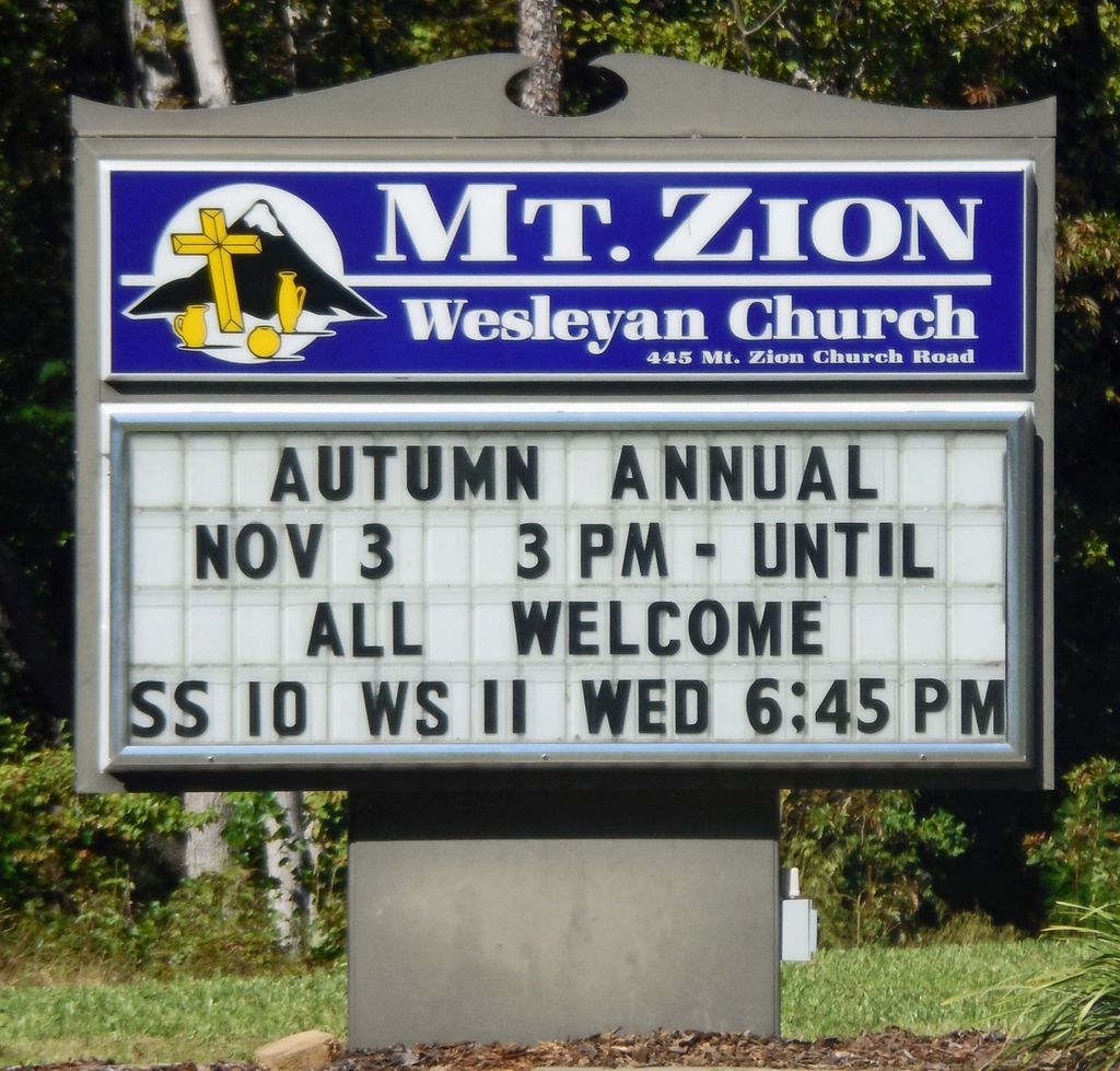
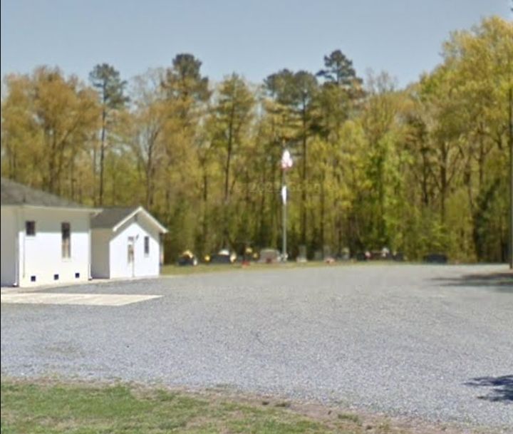
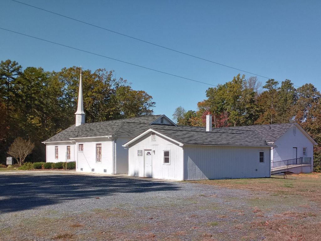
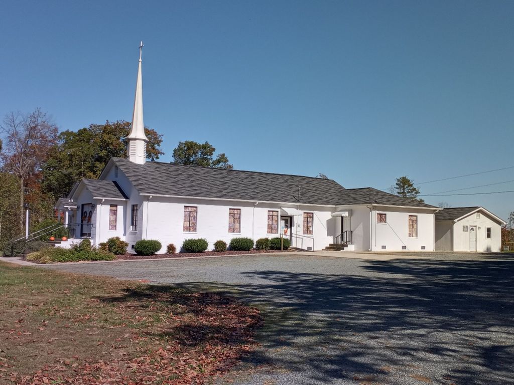
Where is Mount Zion Wesleyan Church Cemetery?
Mount Zion Wesleyan Church Cemetery is located at 445 Mt Zions Church Rd Moore County ,North Carolina , 27341USA.
-
Mount Zion Wesleyan Church Cemetery cemetery's updated grave count on graveviews.com?
1 memorials
-
Where are the coordinates of the Mount Zion Wesleyan Church Cemetery?
Latitude: 35.4838290
Longitude: -79.7376190


Nearby Cemetories:
1. Cagle Cemetery
Moore County, USA
Coordinate: 35.5007090, -79.7518280
2. Shamburger Cemetery
Moore County, USA
Coordinate: 35.4533005, -79.7300034
3. Union Grove Baptist Church Cemetery
Seagrove, Randolph County, USA
Coordinate: 35.5137430, -79.7224430
4. Asbury Baptist Church Cemetery
Montgomery County, USA
Coordinate: 35.4904900, -79.7765990
5. Dover Baptist Church Cemetery
Moore County, USA
Coordinate: 35.4381670, -79.7322950
6. Whynot Wesleyan Church Cemetery
Seagrove, Randolph County, USA
Coordinate: 35.5275090, -79.7586590
7. Fair Grove Methodist Church Cemetery
Seagrove, Randolph County, USA
Coordinate: 35.5308460, -79.7576500
8. Whynot Cemetery
Seagrove, Randolph County, USA
Coordinate: 35.5315800, -79.7589200
9. Little Oak Church of God Cemetery
Robbins, Moore County, USA
Coordinate: 35.4773960, -79.6720470
10. New Center Christian Church Cemetery
Seagrove, Randolph County, USA
Coordinate: 35.5335110, -79.7077100
11. Allred Family Cemetery
Westmore, Moore County, USA
Coordinate: 35.4769500, -79.6687400
12. Community Independent Baptist Church Cemetery
Seagrove, Randolph County, USA
Coordinate: 35.5187880, -79.6816070
13. Big Oak Church Of God Cemetery
Star, Montgomery County, USA
Coordinate: 35.5004050, -79.8062580
14. Davis Family Cemetery
Dover, Moore County, USA
Coordinate: 35.4298300, -79.7088600
15. Archibald Freeman Family Cemetery
Star, Montgomery County, USA
Coordinate: 35.4300259, -79.7675443
16. Ether United Methodist Church Cemetery
Star, Montgomery County, USA
Coordinate: 35.4418250, -79.7890830
17. White Oak Springs Baptist Church Cemetery
Star, Montgomery County, USA
Coordinate: 35.4339943, -79.7816391
18. Seagrove Christian Church Cemetery
Seagrove, Randolph County, USA
Coordinate: 35.5389550, -79.7733010
19. Owen/Brewer camp meeting cemetery
Robbins, Moore County, USA
Coordinate: 35.4408422, -79.6820429
20. Maple Springs Baptist Church Cemetery
Seagrove, Randolph County, USA
Coordinate: 35.5310870, -79.7900260
21. Melton family cemetery
Robbins, Moore County, USA
Coordinate: 35.4404412, -79.6787718
22. Seagrove United Methodist Church Cemetery
Seagrove, Randolph County, USA
Coordinate: 35.5401900, -79.7804200
23. Bascom Chapel United Methodist Church Cemetery
Robbins, Moore County, USA
Coordinate: 35.4393080, -79.6755880
24. Spencer Family Cemetery
Seagrove, Randolph County, USA
Coordinate: 35.5528110, -79.7310880