| Memorials | : | 0 |
| Location | : | Robbins, Moore County, USA |
| Coordinate | : | 35.4408422, -79.6820429 |
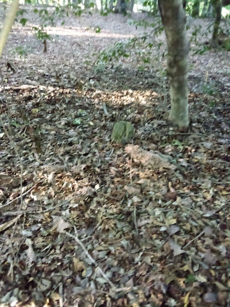
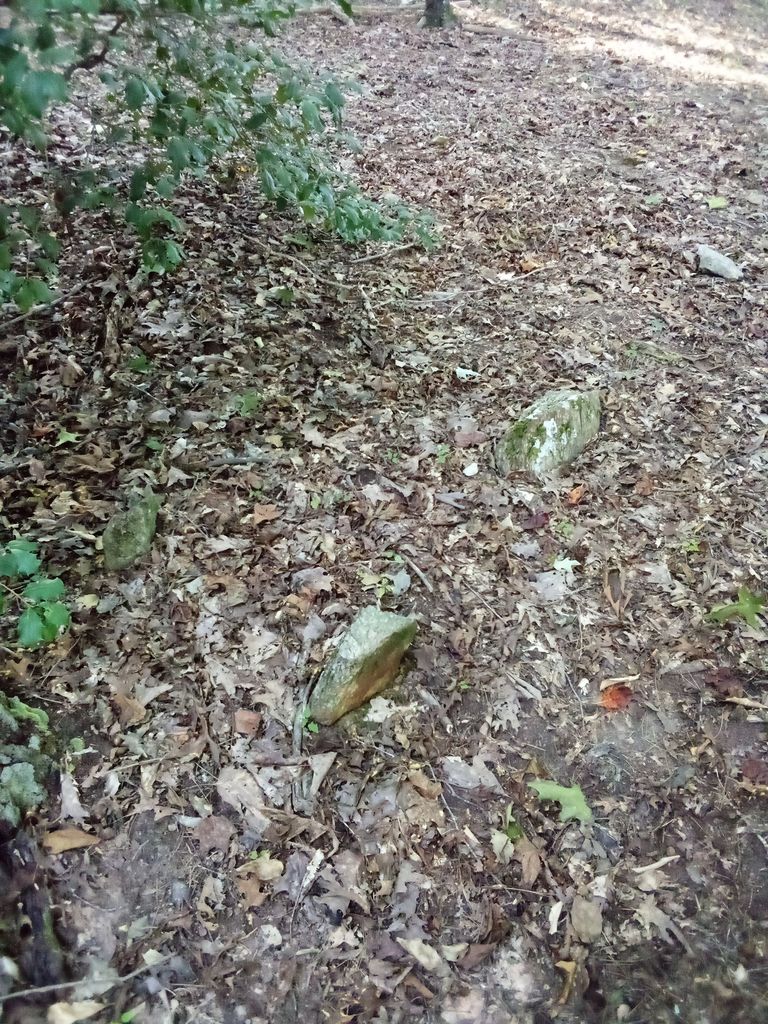
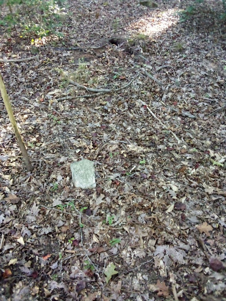
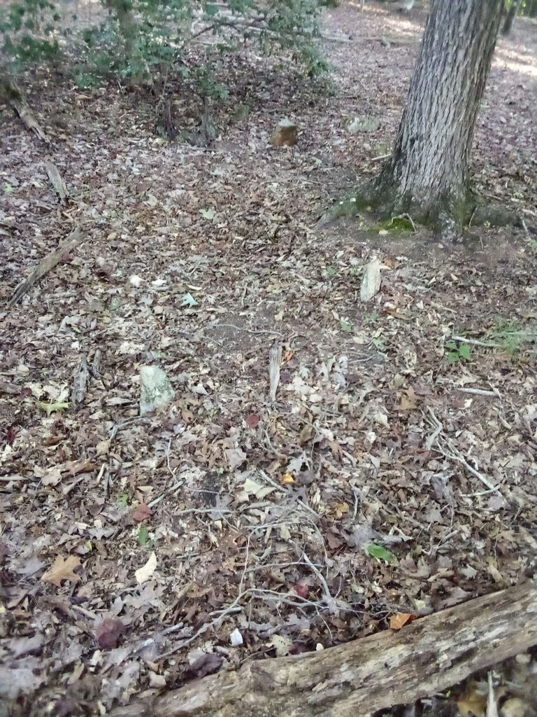
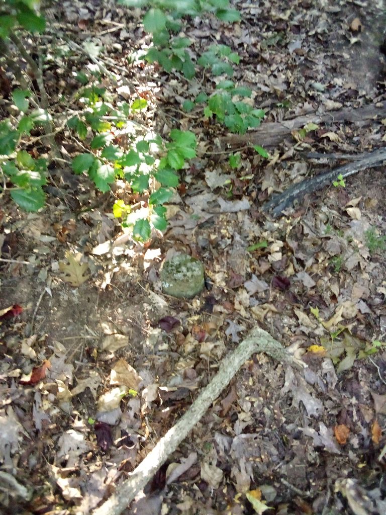
| Description | : | Cemetery is in the Frankie cagle cow pasture on a hill looks to be 20 or so grave's many have names on them as the old courthouse records say it was camp meeting place before bascom chapel church was every thought of |
frequently asked questions (FAQ):
-
Where is Owen/Brewer camp meeting cemetery?
Owen/Brewer camp meeting cemetery is located at Robbins, Moore County ,North Carolina ,USA.
-
Owen/Brewer camp meeting cemetery cemetery's updated grave count on graveviews.com?
0 memorials
-
Where are the coordinates of the Owen/Brewer camp meeting cemetery?
Latitude: 35.4408422
Longitude: -79.6820429
Nearby Cemetories:
1. Melton family cemetery
Robbins, Moore County, USA
Coordinate: 35.4404412, -79.6787718
2. Bascom Chapel United Methodist Church Cemetery
Robbins, Moore County, USA
Coordinate: 35.4393080, -79.6755880
3. Guiding Light Baptist Church Cemetery
Robbins, Moore County, USA
Coordinate: 35.4202520, -79.6899960
4. Davis Family Cemetery
Dover, Moore County, USA
Coordinate: 35.4298300, -79.7088600
5. Browns Chapel Christian Church Cemetery
Robbins, Moore County, USA
Coordinate: 35.4284520, -79.6502140
6. Little Oak Church of God Cemetery
Robbins, Moore County, USA
Coordinate: 35.4773960, -79.6720470
7. Allred Family Cemetery
Westmore, Moore County, USA
Coordinate: 35.4769500, -79.6687400
8. Shamburger Cemetery
Moore County, USA
Coordinate: 35.4533005, -79.7300034
9. Dover Baptist Church Cemetery
Moore County, USA
Coordinate: 35.4381670, -79.7322950
10. Morgan Family Cemetery
Robbins, Moore County, USA
Coordinate: 35.4054490, -79.6552348
11. Hardy Sanders Gravesite
Robbins, Moore County, USA
Coordinate: 35.4015758, -79.6445489
12. Allen Family Cemetery
Eagle Springs, Moore County, USA
Coordinate: 35.3922500, -79.7005300
13. Williamson-Key Cemetery
Spies, Moore County, USA
Coordinate: 35.3898083, -79.6724583
14. Pine Grove Baptist Church Cemetery
Eagle Springs, Moore County, USA
Coordinate: 35.3904890, -79.6594410
15. Acorn Ridge Baptist Church Cemetery
Robbins, Moore County, USA
Coordinate: 35.4623750, -79.6120810
16. Mount Zion Wesleyan Church Cemetery
Moore County, USA
Coordinate: 35.4838290, -79.7376190
17. Old John Key Cemetery
Spies, Moore County, USA
Coordinate: 35.3864611, -79.6414389
18. Dunn Family Cemetery
Eagle Springs, Moore County, USA
Coordinate: 35.3828460, -79.7283280
19. Lassiter Cemetery
Montgomery County, USA
Coordinate: 35.4132350, -79.7614400
20. Archibald Freeman Family Cemetery
Star, Montgomery County, USA
Coordinate: 35.4300259, -79.7675443
21. Deaton Cemetery
Robbins, Moore County, USA
Coordinate: 35.3775466, -79.6436082
22. New Zion Hill Cemetery
Moore County, USA
Coordinate: 35.4743996, -79.6031036
23. New Hope Baptist Church Cemetery
Star, Montgomery County, USA
Coordinate: 35.4023520, -79.7590360
24. Needham's Grove Baptist Church Cemetery
Robbins, Moore County, USA
Coordinate: 35.5069240, -79.6398630

