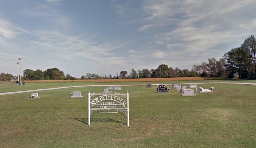
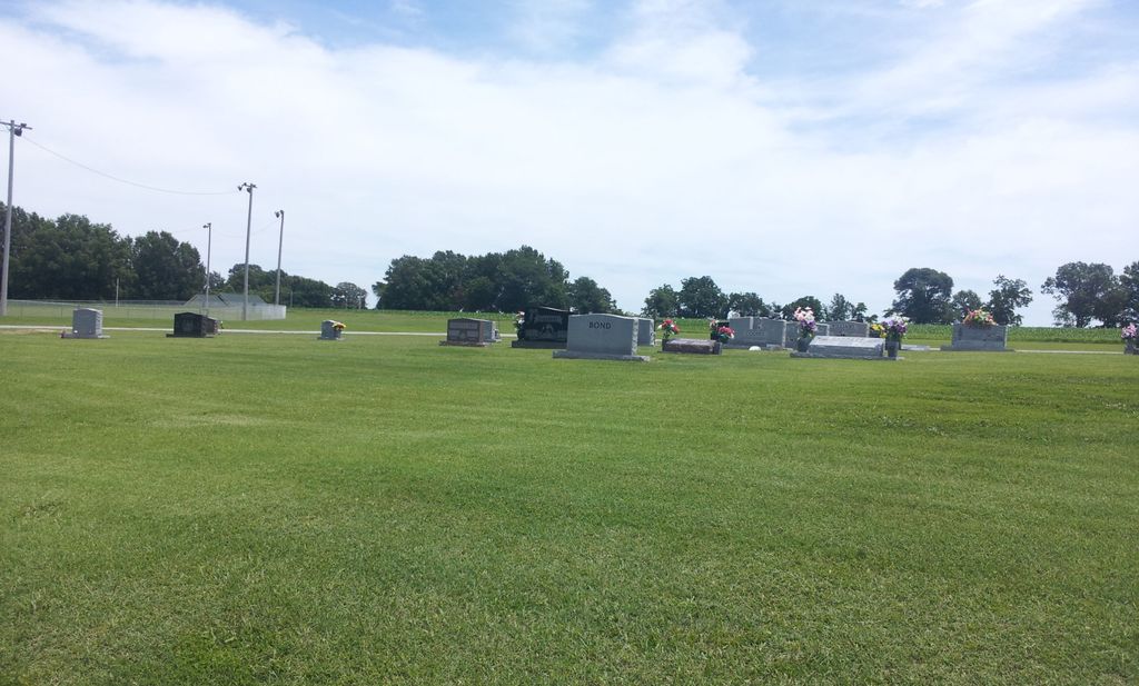
| Memorials | : | 3 |
| Location | : | Dyer, Gibson County, USA |
| Coordinate | : | 36.0689090, -88.9452540 |
| Description | : | From Front St. in Dyer, travel east on College St. for 1.4 mi., continuing on New Bethlehem Rd. for 1.4 mi. to just short of the New Bethlehem Church, turn south (right) onto King Ln. going 0.1 mi. to the cemetery on the east (left) side of the road. |
frequently asked questions (FAQ):
-
Where is New Bethlehem Memorial Cemetery?
New Bethlehem Memorial Cemetery is located at King Ln Dyer, Gibson County ,Tennessee ,USA.
-
New Bethlehem Memorial Cemetery cemetery's updated grave count on graveviews.com?
3 memorials
-
Where are the coordinates of the New Bethlehem Memorial Cemetery?
Latitude: 36.0689090
Longitude: -88.9452540
Nearby Cemetories:
1. New Bethlehem Baptist Church Cemetery
Dyer, Gibson County, USA
Coordinate: 36.0715180, -88.9448400
2. Poplar Grove Cemetery
Dyer, Gibson County, USA
Coordinate: 36.0574989, -88.9389038
3. Apostolic Faith Tabernacle Cemetery
Dyer, Gibson County, USA
Coordinate: 36.0732460, -88.9674180
4. Keas Cemetery
Dyer, Gibson County, USA
Coordinate: 36.0769005, -88.9757996
5. Cooper Family Cemetery
Trenton, Gibson County, USA
Coordinate: 36.0418840, -88.9371910
6. Keeley Cemetery
Gibson County, USA
Coordinate: 36.0511017, -88.9175034
7. Bobbitt Cemetery
Dyer, Gibson County, USA
Coordinate: 36.0774994, -88.9850006
8. Oakwood Cemetery
Dyer, Gibson County, USA
Coordinate: 36.0619011, -88.9875031
9. Griers Chapel Cemetery
Gibson County, USA
Coordinate: 36.0317001, -88.9617004
10. Cartwright Family
Dyer, Gibson County, USA
Coordinate: 36.0523510, -88.9001610
11. Hopper Cemetery
Dyer, Gibson County, USA
Coordinate: 36.0936200, -88.9878680
12. Harrison Cemetery
Gibson County, USA
Coordinate: 36.0321300, -88.9191800
13. Mount Sinai Cemetery
Gibson County, USA
Coordinate: 36.0238991, -88.9535980
14. Bucksnort Cemetery
Gibson County, USA
Coordinate: 36.0318985, -88.9888992
15. Salem Baptist Church Cemetery
Trenton, Gibson County, USA
Coordinate: 36.0266991, -88.9075012
16. Mount Zion Cemetery
Dyer, Gibson County, USA
Coordinate: 36.0936775, -88.8878403
17. Beech Grove Baptist Church Cemetery
Dyer, Gibson County, USA
Coordinate: 36.0281710, -88.9886220
18. Salem Cemetery
Rutherford, Gibson County, USA
Coordinate: 36.1217003, -88.9266968
19. Union United Methodist Cemetery
Gibson County, USA
Coordinate: 36.0203018, -88.9122009
20. Biggs Family Cemetery
Grizzard, Gibson County, USA
Coordinate: 36.0184200, -88.9935500
21. Mount Olive Cemetery
Dyer, Gibson County, USA
Coordinate: 36.0807991, -89.0278015
22. Antioch Cumberland Presbyterian Cemetery
Bradford, Gibson County, USA
Coordinate: 36.1050010, -88.8742630
23. Antioch Methodist Cemetery
Bradford, Gibson County, USA
Coordinate: 36.1061400, -88.8737340
24. Griffins Chapel United Methodist Church Cemetery
Gibson County, USA
Coordinate: 36.0793991, -88.8600006


