| Memorials | : | 0 |
| Location | : | Brandon, Rankin County, USA |
| Coordinate | : | 32.1574900, -89.7320900 |
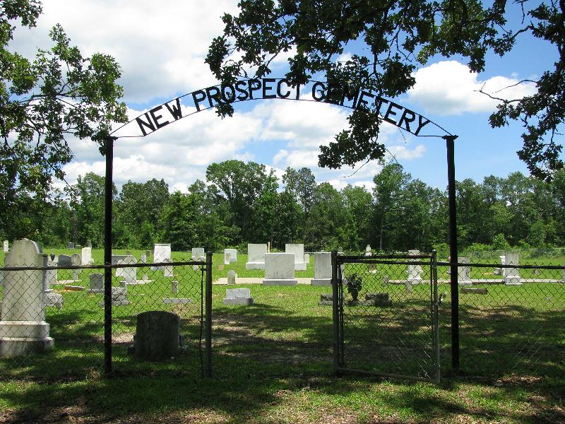
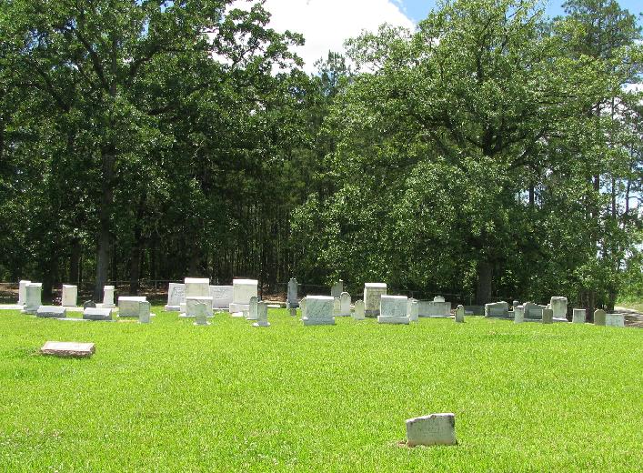
| Description | : | From Puckett, Mississippi proceed North on Highway 13 (Hwy 13) approximately 5.1 miles to the intersection of "Woodrow and Martin Road." Turn left (NorthWest) and continue 2.3 miles to the intersection of "Thunder Ridge Road," Turn right (East) onto Thunder Ridge Road and proceed 350 feet. The New Prospect cemetery entrance will be immediately in front of you, specifically: SE1/4 NE1/4, S25, T4N-R5E, Rankin, Polkville Quadrangle map, USNG: 16S BA 42353 61160. The cemetery is fenced and well maintained, some graves are marked with only a last name, and a few markers are now illegible. |
frequently asked questions (FAQ):
-
Where is New Prospect Cemetery?
New Prospect Cemetery is located at 124 Thunder Ridge Brandon, Rankin County ,Mississippi , 39042USA.
-
New Prospect Cemetery cemetery's updated grave count on graveviews.com?
0 memorials
-
Where are the coordinates of the New Prospect Cemetery?
Latitude: 32.1574900
Longitude: -89.7320900
Nearby Cemetories:
1. James Cemetery
Smith County, USA
Coordinate: 32.1516900, -89.7069400
2. Walters Grove Cemetery
Pelahatchie, Rankin County, USA
Coordinate: 32.1831300, -89.7467100
3. Rock Bluff Cemetery
Daniel, Smith County, USA
Coordinate: 32.1251000, -89.7165400
4. Old Stubbs Cemetery
Polkville, Smith County, USA
Coordinate: 32.1876900, -89.7033900
5. Old Polkville Cemetery
Polkville, Smith County, USA
Coordinate: 32.1882500, -89.7028600
6. Antioch Cemetery
Rufus, Rankin County, USA
Coordinate: 32.1777992, -89.7814026
7. Polkville Baptist Church Cemetery
Polkville, Smith County, USA
Coordinate: 32.1917700, -89.6925200
8. Union Baptist Church Cemetery
Mayton, Rankin County, USA
Coordinate: 32.1067009, -89.7508011
9. Oak Grove Church of God Cemetery
Raleigh, Smith County, USA
Coordinate: 32.1742210, -89.6655850
10. Jack Gray Family Cemetery
Polkville, Smith County, USA
Coordinate: 32.1933920, -89.6725290
11. Concord Cemetery
Pelahatchie, Rankin County, USA
Coordinate: 32.2206001, -89.7391968
12. Hailes Cemetery
Polkville, Smith County, USA
Coordinate: 32.1911011, -89.6605988
13. Burnham Cemetery
Puckett, Rankin County, USA
Coordinate: 32.0910988, -89.7574997
14. Polkville Pentecostal Cemetery
Polkville, Smith County, USA
Coordinate: 32.2097100, -89.6709600
15. Terry Cemetery
Raleigh, Smith County, USA
Coordinate: 32.0918800, -89.6831100
16. Sardis Baptist Cemetery
Smith County, USA
Coordinate: 32.1202100, -89.6486300
17. Piney Grove Cemetery
Polkville, Smith County, USA
Coordinate: 32.2161200, -89.6676300
18. Silverena Cemetery
Rankin County, USA
Coordinate: 32.1293983, -89.8230972
19. Miley Cemetery
Smith County, USA
Coordinate: 32.0790200, -89.7026900
20. Puckett Cemetery
Puckett, Rankin County, USA
Coordinate: 32.0839005, -89.7761002
21. Cooperville Baptist Church Cemetery
Scott County, USA
Coordinate: 32.2403200, -89.7118450
22. Everett Cemetery
Smith County, USA
Coordinate: 32.0643997, -89.7182999
23. White Oak Cemetery Old
White Oak, Smith County, USA
Coordinate: 32.0692700, -89.6927900
24. White Oak Cemetery
White Oak, Smith County, USA
Coordinate: 32.0712800, -89.6830100


