
| Memorials | : | 0 |
| Location | : | Raleigh, Smith County, USA |
| Coordinate | : | 32.1742210, -89.6655850 |
| Description | : | From Polkville, Mississippi proceed SouthEast on Smith County Road 135 (SCR 135) for 2.2 miles and turn left (North) into the church driveway, the cemetery is approximately 150 feet from the driveway entrance, behind the church, specifically: SE1/4 NE1/4, S22, T4N-R6E, Smith, Polkville Quadrangle map, USNG: 16S BA 48658 62861 |
frequently asked questions (FAQ):
-
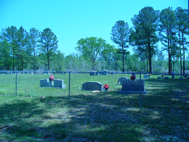
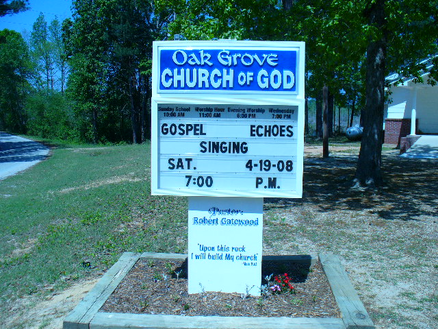
Where is Oak Grove Church of God Cemetery?
Oak Grove Church of God Cemetery is located at 1776 Reman Road Raleigh, Smith County ,Mississippi , 39153USA.
-
Oak Grove Church of God Cemetery cemetery's updated grave count on graveviews.com?
0 memorials
-
Where are the coordinates of the Oak Grove Church of God Cemetery?
Latitude: 32.1742210
Longitude: -89.6655850
Nearby Cemetories:
1. Hailes Cemetery
Polkville, Smith County, USA
Coordinate: 32.1911011, -89.6605988
2. Jack Gray Family Cemetery
Polkville, Smith County, USA
Coordinate: 32.1933920, -89.6725290
3. Polkville Baptist Church Cemetery
Polkville, Smith County, USA
Coordinate: 32.1917700, -89.6925200
4. Old Polkville Cemetery
Polkville, Smith County, USA
Coordinate: 32.1882500, -89.7028600
5. Old Stubbs Cemetery
Polkville, Smith County, USA
Coordinate: 32.1876900, -89.7033900
6. Polkville Pentecostal Cemetery
Polkville, Smith County, USA
Coordinate: 32.2097100, -89.6709600
7. James Cemetery
Smith County, USA
Coordinate: 32.1516900, -89.7069400
8. Piney Grove Cemetery
Polkville, Smith County, USA
Coordinate: 32.2161200, -89.6676300
9. Sardis Baptist Cemetery
Smith County, USA
Coordinate: 32.1202100, -89.6486300
10. New Prospect Cemetery
Brandon, Rankin County, USA
Coordinate: 32.1574900, -89.7320900
11. New Chapel Cemetery
Smith County, USA
Coordinate: 32.1710100, -89.5944800
12. Zion Cemetery
Smith County, USA
Coordinate: 32.1689700, -89.5918000
13. Rock Bluff Cemetery
Daniel, Smith County, USA
Coordinate: 32.1251000, -89.7165400
14. Walters Grove Cemetery
Pelahatchie, Rankin County, USA
Coordinate: 32.1831300, -89.7467100
15. Steve Hughes Cemetery
Smith County, USA
Coordinate: 32.1073600, -89.6344000
16. Moulder Cemetery
Smith County, USA
Coordinate: 32.1239014, -89.6007996
17. Cooperville Baptist Church Cemetery
Scott County, USA
Coordinate: 32.2403200, -89.7118450
18. Concord Cemetery
Pelahatchie, Rankin County, USA
Coordinate: 32.2206001, -89.7391968
19. Derrick Cemetery
Smith County, USA
Coordinate: 32.1484800, -89.5742400
20. Terry Cemetery
Raleigh, Smith County, USA
Coordinate: 32.0918800, -89.6831100
21. New Goodhope Baptist Cemetery
Pulaski, Scott County, USA
Coordinate: 32.2314030, -89.5920360
22. Roberts Cemetery
Smith County, USA
Coordinate: 32.1968100, -89.5688000
23. Black Cemetery
Smith County, USA
Coordinate: 32.2098070, -89.5739170
24. Lingle Cemetery
Lingle, Smith County, USA
Coordinate: 32.2091200, -89.5731800