
| Memorials | : | 0 |
| Location | : | Nieuw-Dordrecht, Emmen Municipality, Netherlands |
| Coordinate | : | 52.7524200, 6.9653600 |
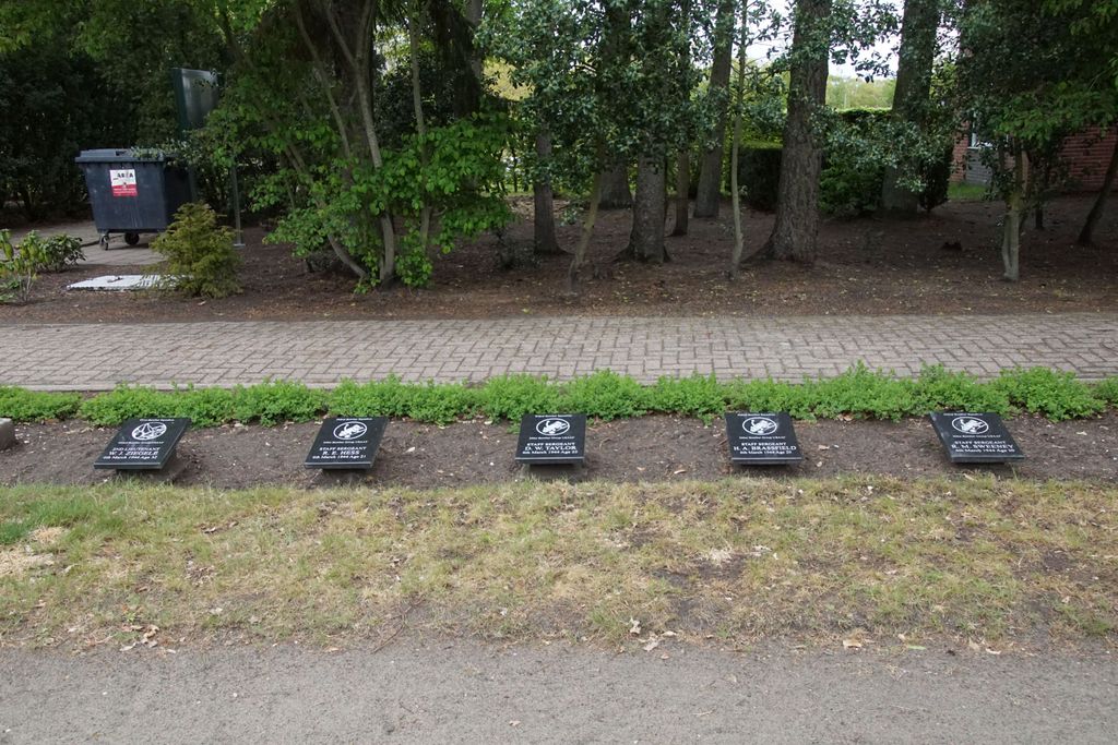
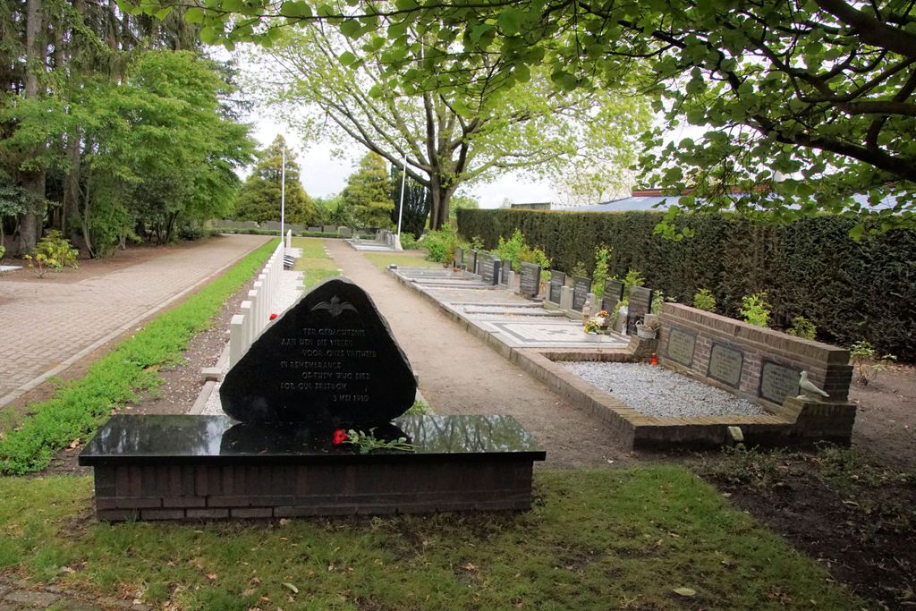
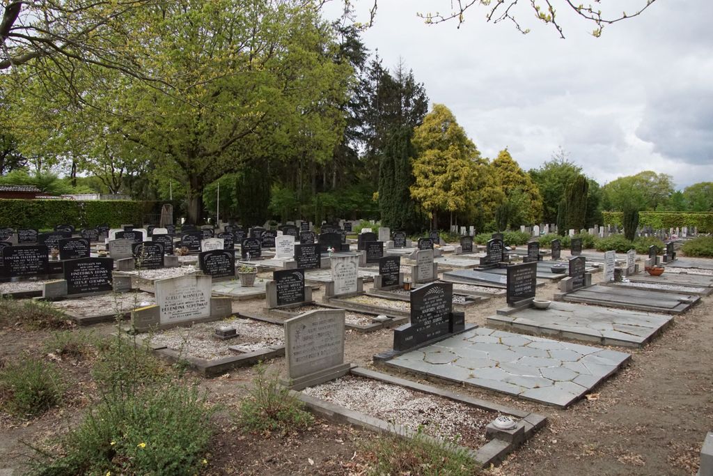
| Description | : | Emmen is a town 39 kilometres south-east of Assen, on the Coevorden road. Nieuw Dordrecht is a village administered by Emmen, 8 kilometres south-east of that town. The cemetery is on the northern outskirts of the village in the Klazienaveensestraat, the road to Emmen. |
frequently asked questions (FAQ):
-
Where is Nieuw Dordrecht General Cemetery?
Nieuw Dordrecht General Cemetery is located at Nieuw-Dordrecht, Emmen Municipality ,Drenthe ,Netherlands.
-
Nieuw Dordrecht General Cemetery cemetery's updated grave count on graveviews.com?
0 memorials
-
Where are the coordinates of the Nieuw Dordrecht General Cemetery?
Latitude: 52.7524200
Longitude: 6.9653600


Nearby Cemetories:
1. The Old Churchyard Barger-Compascuum
Barger-Compascuum, Emmen Municipality, Netherlands
Coordinate: 52.7565091, 7.0358214
2. Joodse Begraafplaats Beatrixstraat
Emmen, Emmen Municipality, Netherlands
Coordinate: 52.7805510, 6.8994390
3. Emmen Kerkhoflaan Cemetery
Emmen, Emmen Municipality, Netherlands
Coordinate: 52.7816300, 6.9006200
4. Joodse Begraafplaats
Emmen Municipality, Netherlands
Coordinate: 52.7790860, 6.8700710
5. Joodse Begraafplaats
Veenoord, Emmen Municipality, Netherlands
Coordinate: 52.7239410, 6.8443680
6. Nieuw-Amsterdam Algemene Begraafplaats
Nieuw-Amsterdam, Emmen Municipality, Netherlands
Coordinate: 52.7120300, 6.8534200
7. Weiteveen Algemene Begraafplaats
Weiteveen, Emmen Municipality, Netherlands
Coordinate: 52.6611800, 6.9637100
8. Joodse Begraafplaats
Sleen, Coevorden Municipality, Netherlands
Coordinate: 52.7799300, 6.8089600
9. Sleen General Cemetery
Sleen, Coevorden Municipality, Netherlands
Coordinate: 52.7773200, 6.8045800
10. Algemene Begraafplaats
Roswinkel, Emmen Municipality, Netherlands
Coordinate: 52.8403700, 7.0479840
11. Oud Schoonebeek General Cemetery
Schoonebeek, Emmen Municipality, Netherlands
Coordinate: 52.6608800, 6.8827100
12. Valthermond West Cemetery
Borger-Odoorn Municipality, Netherlands
Coordinate: 52.8810600, 6.9405060
13. Alter Kirchhof
Twist, Landkreis Emsland, Germany
Coordinate: 52.6355800, 7.0591100
14. Ter Apel General Cemetery
Ter Apel, Vlagtwedde Municipality, Netherlands
Coordinate: 52.8746800, 7.0560200
15. Lagerfriedhof
Versen, Landkreis Emsland, Germany
Coordinate: 52.7245552, 7.1886227
16. Dalen Protestant Churchyard
Dalen, Coevorden Municipality, Netherlands
Coordinate: 52.6970500, 6.7547900
17. Joodse Begraafplaats
Ter Apel, Vlagtwedde Municipality, Netherlands
Coordinate: 52.8744000, 7.0760300
18. Friedhof Wesuwe
Wesuwe, Landkreis Emsland, Germany
Coordinate: 52.7582110, 7.2099680
19. Oosterhesselen Geesbrug General Cemetery
Oosterhesselen, Coevorden Municipality, Netherlands
Coordinate: 52.7552100, 6.7119900
20. Joodse Begraafplaats
Gees, Coevorden Municipality, Netherlands
Coordinate: 52.7492000, 6.7080000
21. Coevorden Nieuwe Begraafplaats
Ballast, Coevorden Municipality, Netherlands
Coordinate: 52.6729900, 6.7367800
22. Coevorden Oude Begraafplaats
Ballast, Coevorden Municipality, Netherlands
Coordinate: 52.6713700, 6.7362900
23. Joodse begraafplaats
Coevorden, Coevorden Municipality, Netherlands
Coordinate: 52.6712850, 6.7349550
24. Algemene Begraafplaats Schoonoord
Schoonoord, Coevorden Municipality, Netherlands
Coordinate: 52.8499985, 6.7500000