
| Memorials | : | 0 |
| Location | : | Dalen, Coevorden Municipality, Netherlands |
| Coordinate | : | 52.6970500, 6.7547900 |
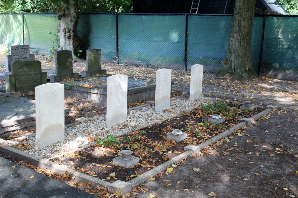
| Description | : | Dalen is a village on the main Zwolle-Coevorden Emmen road, 41 kilometres south-south-east of Assen and 5 kilometres north of Coevorden. The church is in the centre of the village in the Hoofdstraat. The churchyard is down a small lane near the church on the same side of the road. |
frequently asked questions (FAQ):
-
Where is Dalen Protestant Churchyard?
Dalen Protestant Churchyard is located at Dalen, Coevorden Municipality ,Drenthe ,Netherlands.
-
Dalen Protestant Churchyard cemetery's updated grave count on graveviews.com?
0 memorials
-
Where are the coordinates of the Dalen Protestant Churchyard?
Latitude: 52.6970500
Longitude: 6.7547900
Nearby Cemetories:
1. Coevorden Nieuwe Begraafplaats
Ballast, Coevorden Municipality, Netherlands
Coordinate: 52.6729900, 6.7367800
2. Coevorden Oude Begraafplaats
Ballast, Coevorden Municipality, Netherlands
Coordinate: 52.6713700, 6.7362900
3. Joodse begraafplaats
Coevorden, Coevorden Municipality, Netherlands
Coordinate: 52.6712850, 6.7349550
4. Joodse Begraafplaats
Gees, Coevorden Municipality, Netherlands
Coordinate: 52.7492000, 6.7080000
5. Joodse Begraafplaats
Veenoord, Emmen Municipality, Netherlands
Coordinate: 52.7239410, 6.8443680
6. Nieuw-Amsterdam Algemene Begraafplaats
Nieuw-Amsterdam, Emmen Municipality, Netherlands
Coordinate: 52.7120300, 6.8534200
7. Oosterhesselen Geesbrug General Cemetery
Oosterhesselen, Coevorden Municipality, Netherlands
Coordinate: 52.7552100, 6.7119900
8. Evangelischer Friedhof Laar Möhlenkampstraße
Duisburg, Stadtkreis Duisburg, Germany
Coordinate: 52.6139410, 6.7396830
9. Oud Schoonebeek General Cemetery
Schoonebeek, Emmen Municipality, Netherlands
Coordinate: 52.6608800, 6.8827100
10. Sleen General Cemetery
Sleen, Coevorden Municipality, Netherlands
Coordinate: 52.7773200, 6.8045800
11. Joodse Begraafplaats
Sleen, Coevorden Municipality, Netherlands
Coordinate: 52.7799300, 6.8089600
12. Gramsbergen General Cemetery
Gramsbergen, Hardenberg Municipality, Netherlands
Coordinate: 52.6101600, 6.6607200
13. Joodse Begraafplaats
Emmen Municipality, Netherlands
Coordinate: 52.7790860, 6.8700710
14. Joodse Begraafplaats Beatrixstraat
Emmen, Emmen Municipality, Netherlands
Coordinate: 52.7805510, 6.8994390
15. Emmen Kerkhoflaan Cemetery
Emmen, Emmen Municipality, Netherlands
Coordinate: 52.7816300, 6.9006200
16. Witteveen Communal Cemetery
Witteveen, Midden-Drenthe Municipality, Netherlands
Coordinate: 52.8106200, 6.6705900
17. Hollandscheveld General Cemetery
Hollandscheveld, Hoogeveen Municipality, Netherlands
Coordinate: 52.7080900, 6.5462100
18. Weiteveen Algemene Begraafplaats
Weiteveen, Emmen Municipality, Netherlands
Coordinate: 52.6611800, 6.9637100
19. Joodse Begraafplaats 't Holt
Hardenberg, Hardenberg Municipality, Netherlands
Coordinate: 52.5827300, 6.6293800
20. Lutten General Cemetery
Lutten, Hardenberg Municipality, Netherlands
Coordinate: 52.6113400, 6.5772100
21. Nieuw Dordrecht General Cemetery
Nieuw-Dordrecht, Emmen Municipality, Netherlands
Coordinate: 52.7524200, 6.9653600
22. Joodse Begraafplaats Mulopad
Hardenberg, Hardenberg Municipality, Netherlands
Coordinate: 52.5757000, 6.6270500
23. Hardenberg Protestant Cemetery
Hardenberg, Hardenberg Municipality, Netherlands
Coordinate: 52.5756500, 6.6225300
24. Bruchterweg cemetery
Hardenberg, Hardenberg Municipality, Netherlands
Coordinate: 52.5691800, 6.6209900