
| Memorials | : | 6 |
| Location | : | Johnson County, USA |
| Coordinate | : | 38.9275690, -93.7150840 |
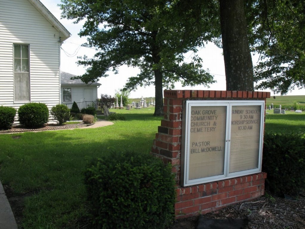
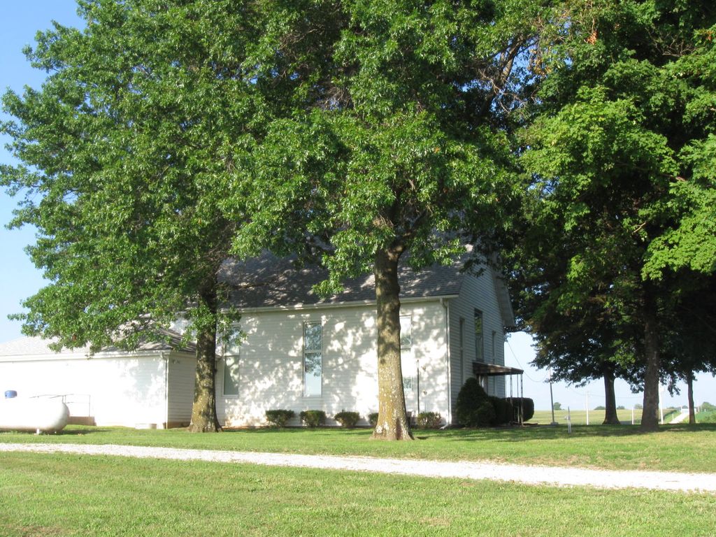
| Description | : | It is located in Higginsville, Lafayette County, Missouri and it is located on the dividing line between Lafayette and Johnson County. The church IS in the cemetery, but that is not the name of the cemetery. It is actually Oak Grove Cemetery. 6/13: The TOWN of Oak Grove is in Lafayette County, Missouri. However, the Oak Grove Cemetery is on the border of Lafayette and Johnson counties and is actually five miles over the county line in Johnson County. Per a Find A Grave photo volunteer: I checked with the Johnson County Recorder of Deeds, 660-747-6811, and the Johnson... Read More |
frequently asked questions (FAQ):
-
Where is Oak Grove Cemetery?
Oak Grove Cemetery is located at 129 NE 1150th Rd Johnson County ,Missouri ,USA.
-
Oak Grove Cemetery cemetery's updated grave count on graveviews.com?
5 memorials
-
Where are the coordinates of the Oak Grove Cemetery?
Latitude: 38.9275690
Longitude: -93.7150840


Nearby Cemetories:
1. Mount Olive Cemetery
Warrensburg, Johnson County, USA
Coordinate: 38.9012000, -93.6961100
2. Zion Hill Cemetery
Concordia, Lafayette County, USA
Coordinate: 38.9339013, -93.6624380
3. Major Family Cemetery
Aullville, Lafayette County, USA
Coordinate: 38.9707400, -93.6943400
4. Foster Cemetery
Johnson County, USA
Coordinate: 38.8932991, -93.6647034
5. Saint Matthews Lutheran Church Cemetery
Ernestville, Lafayette County, USA
Coordinate: 38.9331100, -93.6310800
6. Hobson Cemetery
Johnson County, USA
Coordinate: 38.8659570, -93.7578120
7. Liberty Baptist Cemetery
Warrensburg, Johnson County, USA
Coordinate: 38.8582001, -93.7387009
8. McGinness Cemetery
Freedom, Lafayette County, USA
Coordinate: 38.9663900, -93.7945200
9. New Hope Cemetery
Lafayette County, USA
Coordinate: 38.9664001, -93.6327972
10. Fair Oak Cemetery
Warrensburg, Johnson County, USA
Coordinate: 38.8561500, -93.6822200
11. Mount Maria Cemetery
Johnson County, USA
Coordinate: 38.8492012, -93.7855988
12. Mount Moriah Cemetery
Hazel Hill Township, Johnson County, USA
Coordinate: 38.8489900, -93.7859500
13. Zoar Methodist Cemetery
Concordia, Lafayette County, USA
Coordinate: 38.9840400, -93.6031600
14. Granger Cemetery
Johnson County, USA
Coordinate: 38.8157997, -93.7285995
15. Ragland Family Cemetery
Mayview, Lafayette County, USA
Coordinate: 39.0205400, -93.8024300
16. Marvin Chapel Cemetery
Lafayette County, USA
Coordinate: 39.0190048, -93.8088074
17. Concordia Baptist Cemetery
Concordia, Lafayette County, USA
Coordinate: 38.9641700, -93.5677100
18. Evangelical Cemetery
Concordia, Lafayette County, USA
Coordinate: 38.9641991, -93.5674973
19. Concordia Methodist Cemetery
Concordia, Lafayette County, USA
Coordinate: 38.9647268, -93.5668693
20. Mound Prairie Baptist Church Cemetery
Mayview, Lafayette County, USA
Coordinate: 39.0224180, -93.8147020
21. Payne Cemetery
Dunksburg, Johnson County, USA
Coordinate: 38.8936005, -93.5541992
22. Mount Tabor Cemetery
Odessa, Lafayette County, USA
Coordinate: 38.9409218, -93.8814163
23. Brand Cemetery
Higginsville, Lafayette County, USA
Coordinate: 39.0585700, -93.7134200
24. Mount Muncie Cemetery
Higginsville, Lafayette County, USA
Coordinate: 39.0589900, -93.7134600