| Memorials | : | 0 |
| Location | : | Placerville, El Dorado County, USA |
| Coordinate | : | 38.6768990, -120.7481003 |
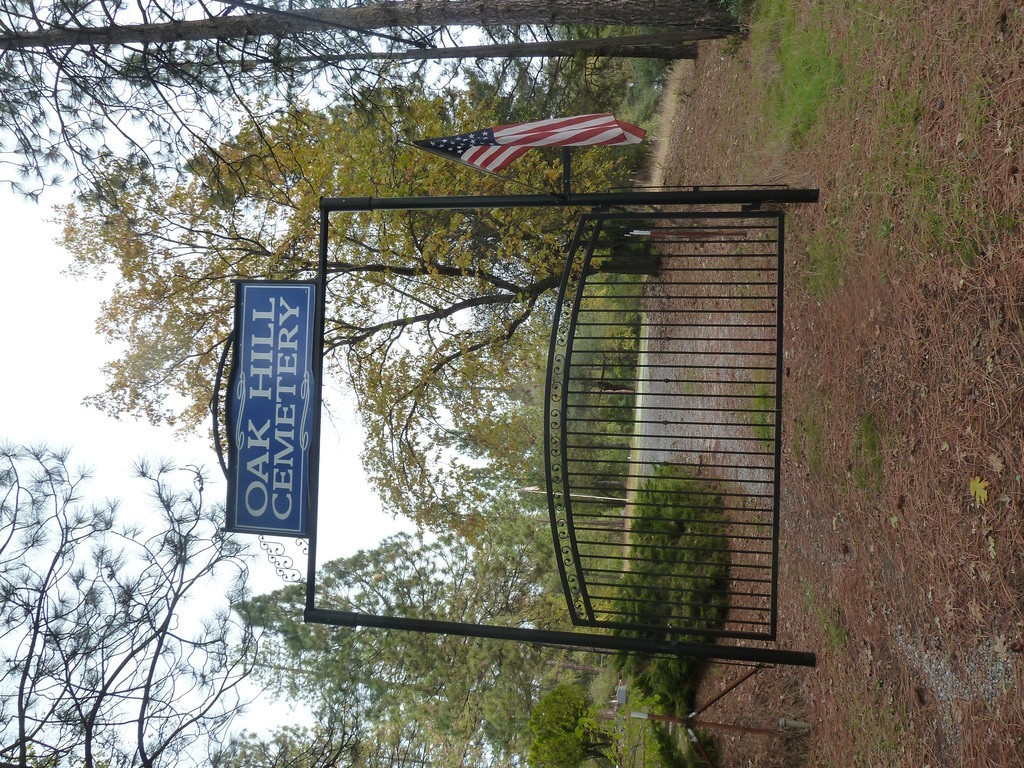
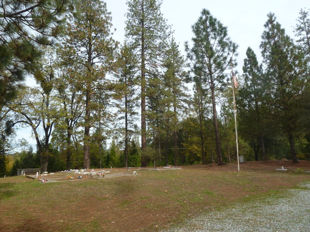
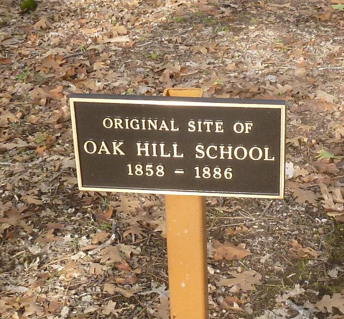
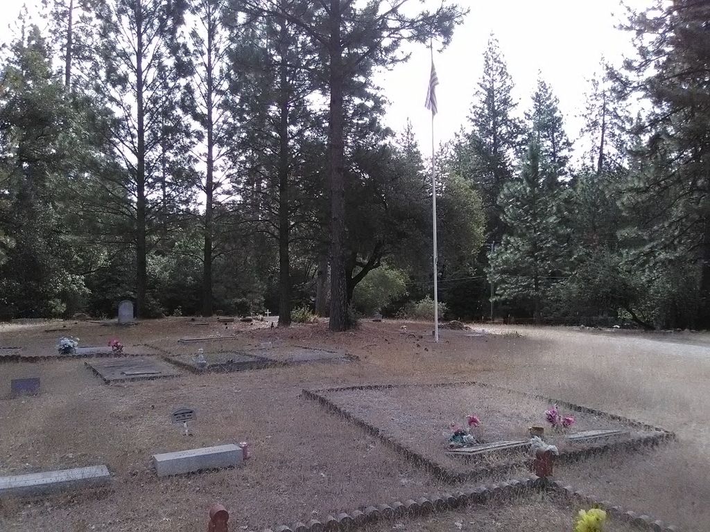
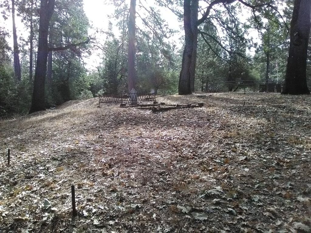
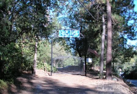
| Description | : | Oak Hill Cemetery is located about 2000 feet west of where Cedar Ravine Road meets Pleasant Valley Road south of Placerville. The cemetery is not visible from the roadway and you must park your vehicle at the bottom of the hill and walk up. The cemetery sits on top of a knoll. In the cemetery there is a plaque noting the original site of the Oak Hill School, from 1858-1886. There are numerous unnamed headstones with the name “Pioneer Grave” especially on the west side along the fence. The oldest existing headstone is Carl Desselman who died in 1867 at... Read More |
frequently asked questions (FAQ):
-
Where is Oak Hill Cemetery?
Oak Hill Cemetery is located at Pleasant Valley Rd Placerville, El Dorado County ,California , 95667USA.
-
Oak Hill Cemetery cemetery's updated grave count on graveviews.com?
0 memorials
-
Where are the coordinates of the Oak Hill Cemetery?
Latitude: 38.6768990
Longitude: -120.7481003
Nearby Cemetories:
1. Weberville Cemetery
Placerville, El Dorado County, USA
Coordinate: 38.7024170, -120.7901000
2. Odd Fellows Cemetery
Diamond Springs, El Dorado County, USA
Coordinate: 38.6963882, -120.8151932
3. Smiths Flat Cemetery
Placerville, El Dorado County, USA
Coordinate: 38.7325287, -120.7552414
4. Diamond Springs Cemetery
Diamond Springs, El Dorado County, USA
Coordinate: 38.6940960, -120.8186620
5. Carpenter Family Residence Burial Plot
Diamond Springs, El Dorado County, USA
Coordinate: 38.6941590, -120.8187750
6. Newtown Cemetery
Newtown, El Dorado County, USA
Coordinate: 38.7050410, -120.6787310
7. Methodist Episcopal Federated Cemetery
Placerville, El Dorado County, USA
Coordinate: 38.7283287, -120.7942200
8. Uppertown Cemetery
Placerville, El Dorado County, USA
Coordinate: 38.7320900, -120.7890625
9. Old Saint Patricks Cemetery
Placerville, El Dorado County, USA
Coordinate: 38.7249107, -120.8024673
10. Pleasant Valley Cemetery
Pleasant Valley, El Dorado County, USA
Coordinate: 38.6809196, -120.6651230
11. Jacquier Family Cemetery
Placerville, El Dorado County, USA
Coordinate: 38.7424420, -120.7602750
12. Old Placerville City Cemetery
Placerville, El Dorado County, USA
Coordinate: 38.7258987, -120.8059464
13. Boles Family Cemetery
Placerville, El Dorado County, USA
Coordinate: 38.7309860, -120.8069580
14. Saint Patrick Cemetery
Placerville, El Dorado County, USA
Coordinate: 38.7327995, -120.8047638
15. Jewish Pioneer Cemetery
Placerville, El Dorado County, USA
Coordinate: 38.7299500, -120.8091965
16. County Hospital Cemetery
Placerville, El Dorado County, USA
Coordinate: 38.7342796, -120.8028488
17. Placerville Union Cemetery
Placerville, El Dorado County, USA
Coordinate: 38.7317390, -120.8084106
18. El Dorado Cemetery
El Dorado, El Dorado County, USA
Coordinate: 38.6804085, -120.8490067
19. Missouri Flat Cemetery
Placerville, El Dorado County, USA
Coordinate: 38.7157360, -120.8403400
20. Blairs-Winkelman Cemetery
Camino, El Dorado County, USA
Coordinate: 38.7547140, -120.7098510
21. Kingsville Cemetery
El Dorado, El Dorado County, USA
Coordinate: 38.6993870, -120.8516060
22. Middletown Cemetery
Placerville, El Dorado County, USA
Coordinate: 38.7358704, -120.8301010
23. Westwood Hills Memorial Park Pet Cemetery
Placerville, El Dorado County, USA
Coordinate: 38.7365210, -120.8323130
24. Westwood Hills Memorial Park
Placerville, El Dorado County, USA
Coordinate: 38.7367363, -120.8326035

