
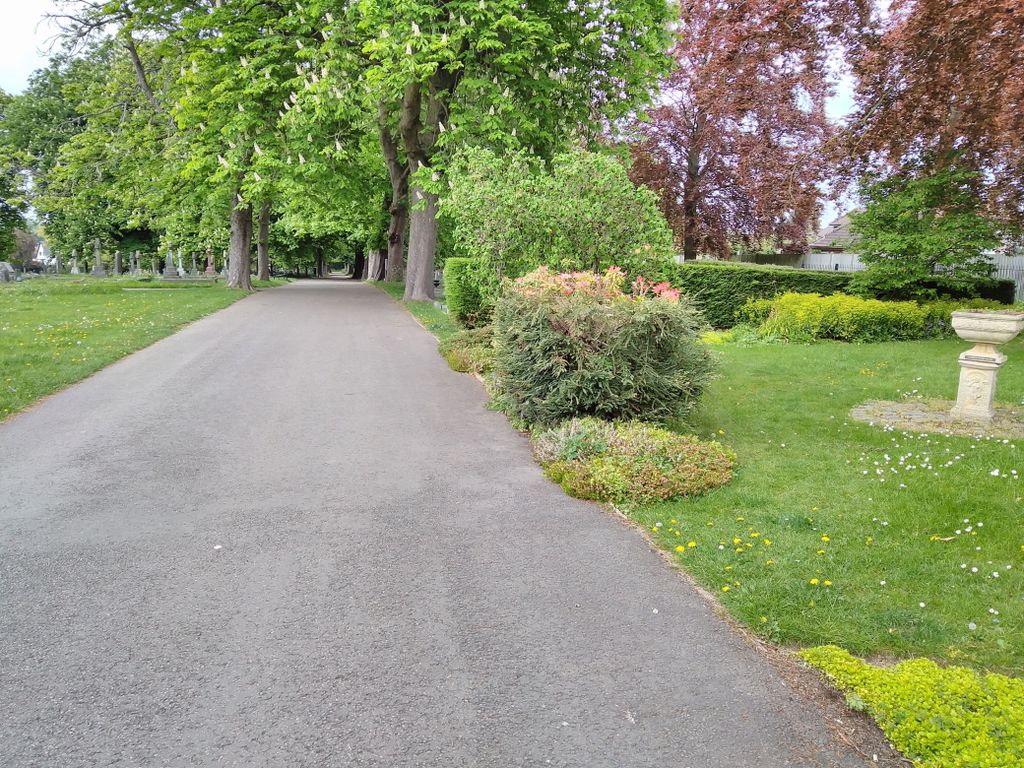
| Memorials | : | 0 |
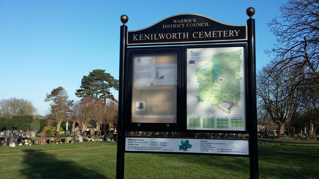
| Location | : | Kenilworth, Warwick District, England |
| Coordinate | : | 52.3372150, -1.5829420 |
frequently asked questions (FAQ):
-
Where is Oaks Road Cemetery?
Oaks Road Cemetery is located at Kenilworth, Warwick District ,Warwickshire ,England.
-
Oaks Road Cemetery cemetery's updated grave count on graveviews.com?
0 memorials
-
Where are the coordinates of the Oaks Road Cemetery?
Latitude: 52.3372150
Longitude: -1.5829420
Nearby Cemetories:
1. St. Nicholas Church
Kenilworth, Warwick District, England
Coordinate: 52.3493100, -1.5821600
2. St Augustine Churchyard
Kenilworth, Warwick District, England
Coordinate: 52.3552230, -1.5842470
3. All Saints Churchyard
Leek Wootton, Warwick District, England
Coordinate: 52.3163100, -1.5779700
4. Assumption Of Our Lady Churchyard
Ashow, Warwick District, England
Coordinate: 52.3291370, -1.5431300
5. St James the Great Churchyard
Old Milverton, Warwick District, England
Coordinate: 52.3037540, -1.5660450
6. St John Baptist Churchyard
Honiley, Warwick District, England
Coordinate: 52.3475810, -1.6421840
7. Brethren's Burial Ground
Leamington Spa, Warwick District, England
Coordinate: 52.3100860, -1.5287881
8. St Mary's Churchyard
Stoneleigh, Warwick District, England
Coordinate: 52.3504620, -1.5161400
9. Milverton Cemetery
Leamington Spa, Warwick District, England
Coordinate: 52.2931650, -1.5567880
10. Westwood Churchyard
Coventry, Metropolitan Borough of Coventry, England
Coordinate: 52.3840345, -1.5717602
11. St Mary Magdalene Churchyard
Lillington, Warwick District, England
Coordinate: 52.3031200, -1.5254140
12. War Memorial
Lillington, Warwick District, England
Coordinate: 52.3031870, -1.5251730
13. All Saints
Old Milverton, Warwick District, England
Coordinate: 52.2889960, -1.5673440
14. Warwick Cemetery
Warwick, Warwick District, England
Coordinate: 52.2882590, -1.6056010
15. St Mary Haseley
Haseley Knob, Warwick District, England
Coordinate: 52.3099770, -1.6577910
16. St Marys
Honiley, Warwick District, England
Coordinate: 52.3099290, -1.6578010
17. St. Mary's Collegiate Church
Warwick, Warwick District, England
Coordinate: 52.2822710, -1.5879780
18. St Michael's Churchyard
Budbrooke, Warwick District, England
Coordinate: 52.2877300, -1.6226000
19. St Nicholas Churchyard
Warwick, Warwick District, England
Coordinate: 52.2818150, -1.5819300
20. Holy Trinity Churchyard
Hatton, Warwick District, England
Coordinate: 52.3039830, -1.6554970
21. Canley Garden Cemetery and Crematorium
Canley, Metropolitan Borough of Coventry, England
Coordinate: 52.3890370, -1.5475700
22. St Leonard's Churchyard
Wroxall, Warwick District, England
Coordinate: 52.3341850, -1.6757560
23. Leamington Spa War Memorial
Leamington Spa, Warwick District, England
Coordinate: 52.2881010, -1.5346740
24. Friends Burial Ground in Warwickshire
Warwick District, England
Coordinate: 52.2798890, -1.5894430