
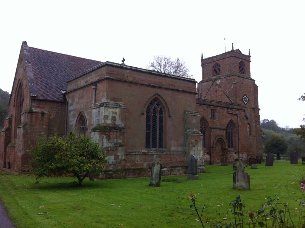
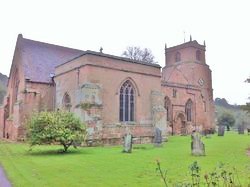
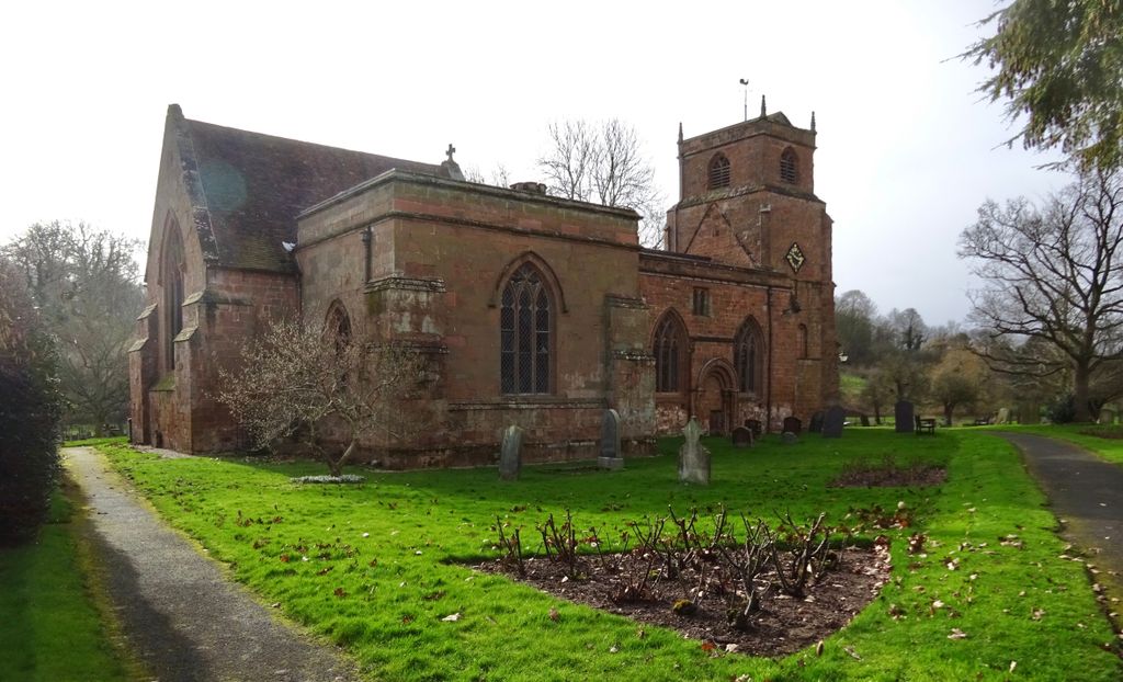
| Memorials | : | 0 |
| Location | : | Stoneleigh, Warwick District, England |
| Coordinate | : | 52.3504620, -1.5161400 |
frequently asked questions (FAQ):
-
Where is St Mary's Churchyard?
St Mary's Churchyard is located at Church Lane Stoneleigh, Warwick District ,Warwickshire , CV8 3DNEngland.
-
St Mary's Churchyard cemetery's updated grave count on graveviews.com?
0 memorials
-
Where are the coordinates of the St Mary's Churchyard?
Latitude: 52.3504620
Longitude: -1.5161400
Nearby Cemetories:
1. Saint John the Baptist Church
Baginton, Warwick District, England
Coordinate: 52.3698000, -1.4969000
2. St Giles Churchyard
Bubbenhall, Warwick District, England
Coordinate: 52.3501940, -1.4730830
3. Assumption Of Our Lady Churchyard
Ashow, Warwick District, England
Coordinate: 52.3291370, -1.5431300
4. St Mary's Churchyard
Cubbington, Warwick District, England
Coordinate: 52.3122830, -1.4972400
5. St. Michael's Churchyard
Weston under Wetherley, Warwick District, England
Coordinate: 52.3201580, -1.4728890
6. St. Nicholas Church
Kenilworth, Warwick District, England
Coordinate: 52.3493100, -1.5821600
7. Brethren's Burial Ground
Leamington Spa, Warwick District, England
Coordinate: 52.3100860, -1.5287881
8. St Augustine Churchyard
Kenilworth, Warwick District, England
Coordinate: 52.3552230, -1.5842470
9. Oaks Road Cemetery
Kenilworth, Warwick District, England
Coordinate: 52.3372150, -1.5829420
10. Canley Garden Cemetery and Crematorium
Canley, Metropolitan Borough of Coventry, England
Coordinate: 52.3890370, -1.5475700
11. War Memorial
Lillington, Warwick District, England
Coordinate: 52.3031870, -1.5251730
12. St Mary Magdalene Churchyard
Lillington, Warwick District, England
Coordinate: 52.3031200, -1.5254140
13. Westwood Churchyard
Coventry, Metropolitan Borough of Coventry, England
Coordinate: 52.3840345, -1.5717602
14. London Road Cemetery
Coventry, Metropolitan Borough of Coventry, England
Coordinate: 52.3975420, -1.4966730
15. All Saints Churchyard
Leek Wootton, Warwick District, England
Coordinate: 52.3163100, -1.5779700
16. St John the Baptist Churchyard
Wappenbury, Warwick District, England
Coordinate: 52.3204330, -1.4467410
17. Saint Anne Churchyard
Wappenbury, Warwick District, England
Coordinate: 52.3200340, -1.4458580
18. St Leonard's Churchyard
Ryton-on-Dunsmore, Rugby Borough, England
Coordinate: 52.3674940, -1.4338580
19. Saint Margaret's Churchyard
Hunningham, Warwick District, England
Coordinate: 52.3098800, -1.4551000
20. White Friars
Coventry, Metropolitan Borough of Coventry, England
Coordinate: 52.4050100, -1.5014800
21. Greyfriars Coventry
Coventry, Metropolitan Borough of Coventry, England
Coordinate: 52.4059400, -1.5114400
22. St James the Great Churchyard
Old Milverton, Warwick District, England
Coordinate: 52.3037540, -1.5660450
23. St Michael's Cathedral
Coventry, Metropolitan Borough of Coventry, England
Coordinate: 52.4080000, -1.5071840
24. Coventry Cathedral
Coventry, Metropolitan Borough of Coventry, England
Coordinate: 52.4083290, -1.5067360