
| Memorials | : | 2 |
| Location | : | Canley, Metropolitan Borough of Coventry, England |
| Coordinate | : | 52.3890370, -1.5475700 |
| Description | : | A memorial commemorating 18 servicemen of the Second World War whose remains were cremated is located in the entrance to the Garden of Remembrance at the crematorium, within the cloister. |
frequently asked questions (FAQ):
-
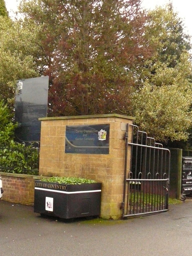
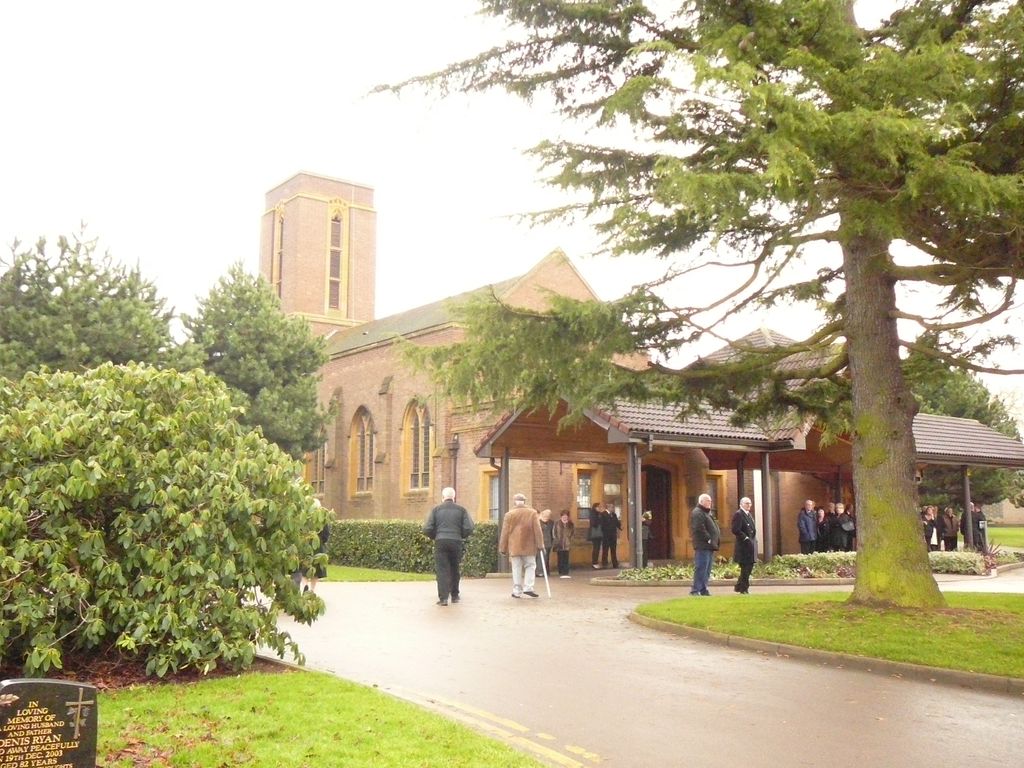
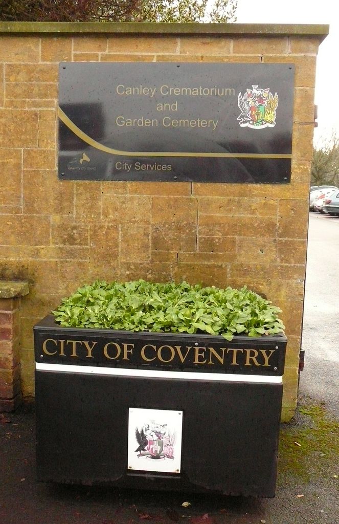
Where is Canley Garden Cemetery and Crematorium?
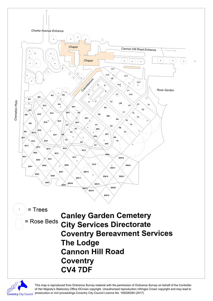
Canley Garden Cemetery and Crematorium is located at Cannon Hill Road Canley, Metropolitan Borough of Coventry ,West Midlands , CV4 7DFEngland.
-
Canley Garden Cemetery and Crematorium cemetery's updated grave count on graveviews.com?
1 memorials
-
Where are the coordinates of the Canley Garden Cemetery and Crematorium?
Latitude: 52.3890370
Longitude: -1.5475700
Nearby Cemetories:
1. Westwood Churchyard
Coventry, Metropolitan Borough of Coventry, England
Coordinate: 52.3840345, -1.5717602
2. St Mary Magdalen
Chapelfields, Metropolitan Borough of Coventry, England
Coordinate: 52.4078970, -1.5316060
3. Greyfriars Coventry
Coventry, Metropolitan Borough of Coventry, England
Coordinate: 52.4059400, -1.5114400
4. Holy Trinity Churchyard
Coventry, Metropolitan Borough of Coventry, England
Coordinate: 52.4085450, -1.5093060
5. Saint Mary's Priory and Cathedral Coventry
Coventry, Metropolitan Borough of Coventry, England
Coordinate: 52.4089000, -1.5085000
6. St Michael's Cathedral
Coventry, Metropolitan Borough of Coventry, England
Coordinate: 52.4080000, -1.5071840
7. Coventry Cathedral
Coventry, Metropolitan Borough of Coventry, England
Coordinate: 52.4083290, -1.5067360
8. London Road Cemetery
Coventry, Metropolitan Borough of Coventry, England
Coordinate: 52.3975420, -1.4966730
9. White Friars
Coventry, Metropolitan Borough of Coventry, England
Coordinate: 52.4050100, -1.5014800
10. All Saints Churchyard
Allesley, Metropolitan Borough of Coventry, England
Coordinate: 52.4230817, -1.5563453
11. Saint John the Baptist Church
Baginton, Warwick District, England
Coordinate: 52.3698000, -1.4969000
12. St Augustine Churchyard
Kenilworth, Warwick District, England
Coordinate: 52.3552230, -1.5842470
13. St Mary's Churchyard
Stoneleigh, Warwick District, England
Coordinate: 52.3504620, -1.5161400
14. St. Nicholas Church
Kenilworth, Warwick District, England
Coordinate: 52.3493100, -1.5821600
15. St Michael Churchyard
Coventry, Metropolitan Borough of Coventry, England
Coordinate: 52.4115820, -1.4747430
16. St. Thomas Churchyard
Keresley, Metropolitan Borough of Coventry, England
Coordinate: 52.4395700, -1.5358000
17. St. Paul's Cemetery
Coventry, Metropolitan Borough of Coventry, England
Coordinate: 52.4383200, -1.5047500
18. Oaks Road Cemetery
Kenilworth, Warwick District, England
Coordinate: 52.3372150, -1.5829420
19. Foleshill Road United Reformed Churchyard
Foleshill, Metropolitan Borough of Coventry, England
Coordinate: 52.4373320, -1.4919190
20. St Giles Churchyard
Bubbenhall, Warwick District, England
Coordinate: 52.3501940, -1.4730830
21. Assumption Of Our Lady Churchyard
Ashow, Warwick District, England
Coordinate: 52.3291370, -1.5431300
22. St John Baptist Churchyard
Berkswell, Metropolitan Borough of Solihull, England
Coordinate: 52.4099600, -1.6436000
23. St Mary Magdalen
Coventry, Metropolitan Borough of Coventry, England
Coordinate: 52.4236750, -1.4621960
24. St Mary Magdalene Wyken
Coventry, Metropolitan Borough of Coventry, England
Coordinate: 52.4236580, -1.4620770