
| Memorials | : | 2 |
| Location | : | Alexandria, Campbell County, USA |
| Coordinate | : | 38.9603890, -84.3880590 |
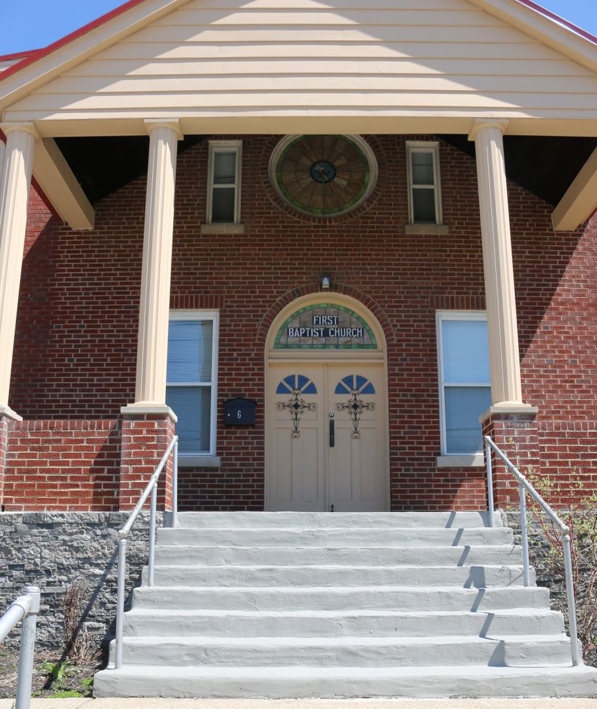
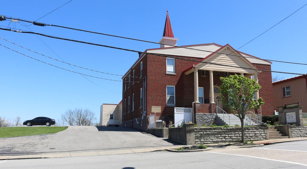
| Description | : | The cemetery was originally the Spilman Family Cemetery. Per the church cornerstone, the Baptist Church adjacent to the cemetery was constituted on April 17, 1820. In 1946, Elizabeth Morrow Cooley of Ft. Thomas recorded the inscriptions on the tombstones, which were located on the north side of the First Baptist Church of Alexandria. By 1986, the cemetery had been paved over for a parking lot adjacent to the church, and the stones had been thrown over the hill behind the church. Subsequently, the hill has been bulldozed, and there is no evidence of the tombstones. In 2016, the church is... Read More |
frequently asked questions (FAQ):
-
Where is Old Baptist Cemetery?
Old Baptist Cemetery is located at 104 Washington Street Alexandria, Campbell County ,Kentucky , 41001USA.
-
Old Baptist Cemetery cemetery's updated grave count on graveviews.com?
2 memorials
-
Where are the coordinates of the Old Baptist Cemetery?
Latitude: 38.9603890
Longitude: -84.3880590
Nearby Cemetories:
1. Saint Paul's Church Cemetery
Alexandria, Campbell County, USA
Coordinate: 38.9582720, -84.3877080
2. Saint Mary's Cemetery
Alexandria, Campbell County, USA
Coordinate: 38.9559100, -84.3877800
3. Thatcher Family Cemetery
Campbell County, USA
Coordinate: 38.9665480, -84.3935800
4. Boyles Maxwell Family Cemetery
Alexandria, Campbell County, USA
Coordinate: 38.9553900, -84.3804900
5. Alexandria Cemetery
Alexandria, Campbell County, USA
Coordinate: 38.9536100, -84.3972300
6. Robert Shaw Family Cemetery
Alexandria, Campbell County, USA
Coordinate: 38.9623330, -84.3635670
7. Stephens Farm Cemetery
Alexandria, Campbell County, USA
Coordinate: 38.9566350, -84.3528650
8. Grant Family Cemetery
Grant, Kenton County, USA
Coordinate: 38.9743710, -84.4326160
9. Stamper Family Cemetery
Grant, Kenton County, USA
Coordinate: 38.9746130, -84.4338000
10. Saint Josephs Cemetery
Camp Springs, Campbell County, USA
Coordinate: 38.9953570, -84.3625520
11. Carmack Cemetery
Carthage, Campbell County, USA
Coordinate: 38.9582510, -84.3272630
12. Willard Neal Farm Cemetery
Alexandria, Campbell County, USA
Coordinate: 38.9571660, -84.3254490
13. Weinel Family Graveyard
Claryville, Campbell County, USA
Coordinate: 38.9181780, -84.4245220
14. Kuhl Farm Cemetery
Claryville, Campbell County, USA
Coordinate: 38.9108330, -84.4064840
15. Saint John Lutheran Church Cemetery
Camp Springs, Campbell County, USA
Coordinate: 39.0144150, -84.3826140
16. White Cemetery
Ryland Heights, Kenton County, USA
Coordinate: 38.9625000, -84.4583330
17. Tucker Family Cemetery
Melbourne, Campbell County, USA
Coordinate: 39.0157000, -84.3788010
18. White Cemetery
Ryland Heights, Kenton County, USA
Coordinate: 38.9628600, -84.4642900
19. Cherry Family Cemetery
Persimmon Grove, Campbell County, USA
Coordinate: 38.9101700, -84.3451110
20. Murnan Cemetery
Cold Spring, Campbell County, USA
Coordinate: 39.0064690, -84.4436530
21. Herndon-Bartlow Family Cemetery
Carthage, Campbell County, USA
Coordinate: 38.9155556, -84.3305556
22. Notley Maddox Cemetery
Claryville, Campbell County, USA
Coordinate: 38.9094450, -84.4375010
23. Mount Gilead Methodist Evangelical Church Cemetery
Carthage, Campbell County, USA
Coordinate: 38.9342430, -84.3111630
24. Old Mount Gilead Cemetery
Carthage, Campbell County, USA
Coordinate: 38.9356030, -84.3099730