
| Memorials | : | 0 |
| Location | : | Grant, Kenton County, USA |
| Coordinate | : | 38.9743710, -84.4326160 |
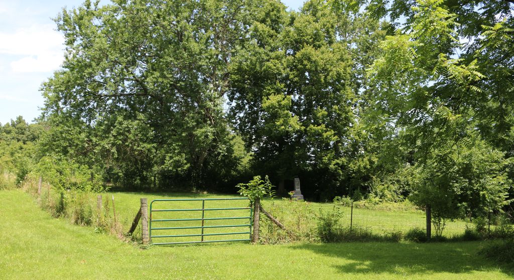
| Description | : | The cemetery is located at Grants Bend on property that once belonged to Squire Grant. His now demolished home, Errondale, was located on the property. The cemetery is active as a family cemetery for the current property owner. The cemetery is located on private property, and the owner should be asked for permission to visit the cemetery and directions to it. |
frequently asked questions (FAQ):
-
Where is Grant Family Cemetery?
Grant Family Cemetery is located at 10460 Locust Pike Grant, Kenton County ,Kentucky , 41015USA.
-
Grant Family Cemetery cemetery's updated grave count on graveviews.com?
0 memorials
-
Where are the coordinates of the Grant Family Cemetery?
Latitude: 38.9743710
Longitude: -84.4326160
Nearby Cemetories:
1. Stamper Family Cemetery
Grant, Kenton County, USA
Coordinate: 38.9746130, -84.4338000
2. White Cemetery
Ryland Heights, Kenton County, USA
Coordinate: 38.9625000, -84.4583330
3. White Cemetery
Ryland Heights, Kenton County, USA
Coordinate: 38.9628600, -84.4642900
4. Armstrong Cemetery #2
Ryland Heights, Kenton County, USA
Coordinate: 38.9820600, -84.4695400
5. Culbertson Cemetery
Taylor Mill, Kenton County, USA
Coordinate: 38.9939390, -84.4629340
6. Locust Pike Pentecostal Church Cemetery
Kenton County, USA
Coordinate: 38.9940500, -84.4630000
7. William Culbertson Family Cemetery (Defunct)
Springlake, Kenton County, USA
Coordinate: 38.9971400, -84.4592900
8. Thatcher Family Cemetery
Campbell County, USA
Coordinate: 38.9665480, -84.3935800
9. Murnan Cemetery
Cold Spring, Campbell County, USA
Coordinate: 39.0064690, -84.4436530
10. Alexandria Cemetery
Alexandria, Campbell County, USA
Coordinate: 38.9536100, -84.3972300
11. Old Baptist Cemetery
Alexandria, Campbell County, USA
Coordinate: 38.9603890, -84.3880590
12. Saint Paul's Church Cemetery
Alexandria, Campbell County, USA
Coordinate: 38.9582720, -84.3877080
13. William Mardis Family Cemetery
Independence, Kenton County, USA
Coordinate: 38.9613800, -84.4800100
14. Saint Mary's Cemetery
Alexandria, Campbell County, USA
Coordinate: 38.9559100, -84.3877800
15. George W Perry Cemetery
Latonia Lakes, Kenton County, USA
Coordinate: 38.9728800, -84.4883400
16. Boyles Maxwell Family Cemetery
Alexandria, Campbell County, USA
Coordinate: 38.9553900, -84.3804900
17. Pruett - Mardis Cemetery
Independence, Kenton County, USA
Coordinate: 38.9463900, -84.4817100
18. Ashford Road Cemetery
Independence, Kenton County, USA
Coordinate: 38.9528850, -84.4892100
19. Lipscomb-Richardson Cemetery
Latonia Lakes, Kenton County, USA
Coordinate: 38.9736100, -84.4958300
20. Klette Cemetery
Latonia Lakes, Kenton County, USA
Coordinate: 38.9616670, -84.4944400
21. Cold Spring First Baptist Church Cemetery
Cold Spring, Campbell County, USA
Coordinate: 39.0248800, -84.4462900
22. Saint Joseph Cemetery
Cold Spring, Campbell County, USA
Coordinate: 39.0257700, -84.4443650
23. Petty Cemetery
Ryland, Kenton County, USA
Coordinate: 38.9391000, -84.4847100
24. Potter Field Cemetery
Highland Heights, Campbell County, USA
Coordinate: 39.0252991, -84.4552994