
| Memorials | : | 142 |
| Location | : | Alexandria, Campbell County, USA |
| Phone | : | (859) 635-4188 |
| Coordinate | : | 38.9559100, -84.3877800 |
| Description | : | The U.S. Geological Survey (USGS) Geographic Names Information System (GNIS) feature ID for the cemetery is 2089475 (Saint Mary’s Cemetery). |
frequently asked questions (FAQ):
-
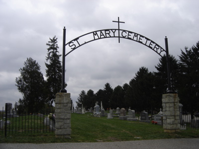
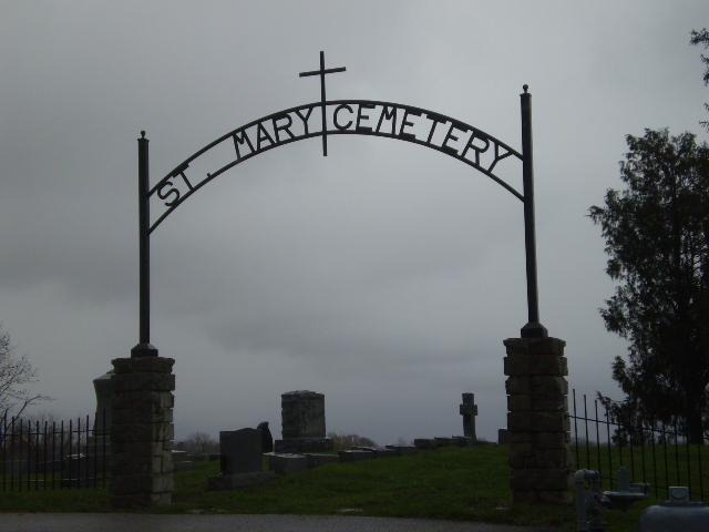
Where is Saint Mary's Cemetery?
Saint Mary's Cemetery is located at 8246 E. Main Street Alexandria, Campbell County ,Kentucky , 41001USA.
-
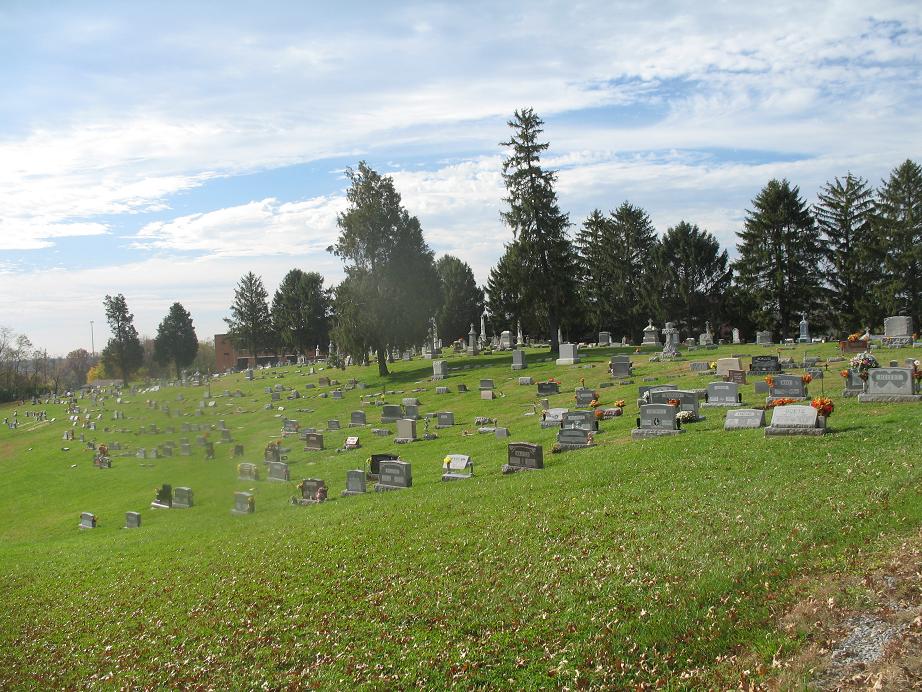
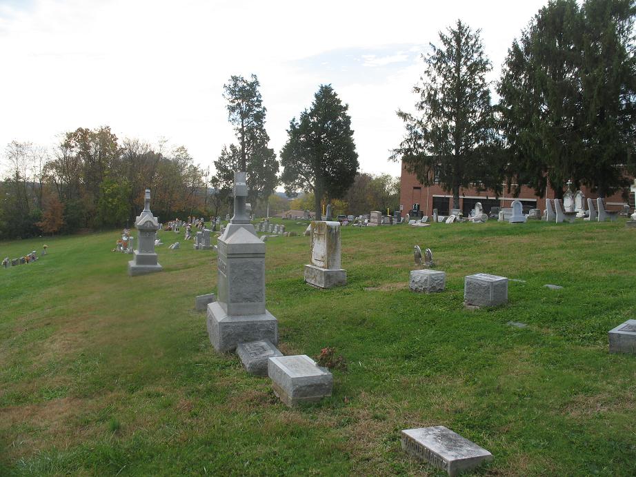
Saint Mary's Cemetery cemetery's updated grave count on graveviews.com?
109 memorials
-
Where are the coordinates of the Saint Mary's Cemetery?
Latitude: 38.9559100
Longitude: -84.3877800
Nearby Cemetories:
1. Saint Paul's Church Cemetery
Alexandria, Campbell County, USA
Coordinate: 38.9582720, -84.3877080
2. Old Baptist Cemetery
Alexandria, Campbell County, USA
Coordinate: 38.9603890, -84.3880590
3. Boyles Maxwell Family Cemetery
Alexandria, Campbell County, USA
Coordinate: 38.9553900, -84.3804900
4. Alexandria Cemetery
Alexandria, Campbell County, USA
Coordinate: 38.9536100, -84.3972300
5. Thatcher Family Cemetery
Campbell County, USA
Coordinate: 38.9665480, -84.3935800
6. Robert Shaw Family Cemetery
Alexandria, Campbell County, USA
Coordinate: 38.9623330, -84.3635670
7. Stephens Farm Cemetery
Alexandria, Campbell County, USA
Coordinate: 38.9566350, -84.3528650
8. Grant Family Cemetery
Grant, Kenton County, USA
Coordinate: 38.9743710, -84.4326160
9. Stamper Family Cemetery
Grant, Kenton County, USA
Coordinate: 38.9746130, -84.4338000
10. Saint Josephs Cemetery
Camp Springs, Campbell County, USA
Coordinate: 38.9953570, -84.3625520
11. Carmack Cemetery
Carthage, Campbell County, USA
Coordinate: 38.9582510, -84.3272630
12. Weinel Family Graveyard
Claryville, Campbell County, USA
Coordinate: 38.9181780, -84.4245220
13. Kuhl Farm Cemetery
Claryville, Campbell County, USA
Coordinate: 38.9108330, -84.4064840
14. Willard Neal Farm Cemetery
Alexandria, Campbell County, USA
Coordinate: 38.9571660, -84.3254490
15. White Cemetery
Ryland Heights, Kenton County, USA
Coordinate: 38.9625000, -84.4583330
16. Cherry Family Cemetery
Persimmon Grove, Campbell County, USA
Coordinate: 38.9101700, -84.3451110
17. Saint John Lutheran Church Cemetery
Camp Springs, Campbell County, USA
Coordinate: 39.0144150, -84.3826140
18. White Cemetery
Ryland Heights, Kenton County, USA
Coordinate: 38.9628600, -84.4642900
19. Herndon-Bartlow Family Cemetery
Carthage, Campbell County, USA
Coordinate: 38.9155556, -84.3305556
20. Tucker Family Cemetery
Melbourne, Campbell County, USA
Coordinate: 39.0157000, -84.3788010
21. Notley Maddox Cemetery
Claryville, Campbell County, USA
Coordinate: 38.9094450, -84.4375010
22. Notley Maddox Slave Cemetery
Claryville, Campbell County, USA
Coordinate: 38.9083320, -84.4394440
23. Mount Gilead Methodist Evangelical Church Cemetery
Carthage, Campbell County, USA
Coordinate: 38.9342430, -84.3111630
24. Old Mount Gilead Cemetery
Carthage, Campbell County, USA
Coordinate: 38.9356030, -84.3099730