
| Memorials | : | 0 |
| Location | : | Wrightsville, Johnson County, USA |
| Coordinate | : | 32.7150500, -82.8290500 |
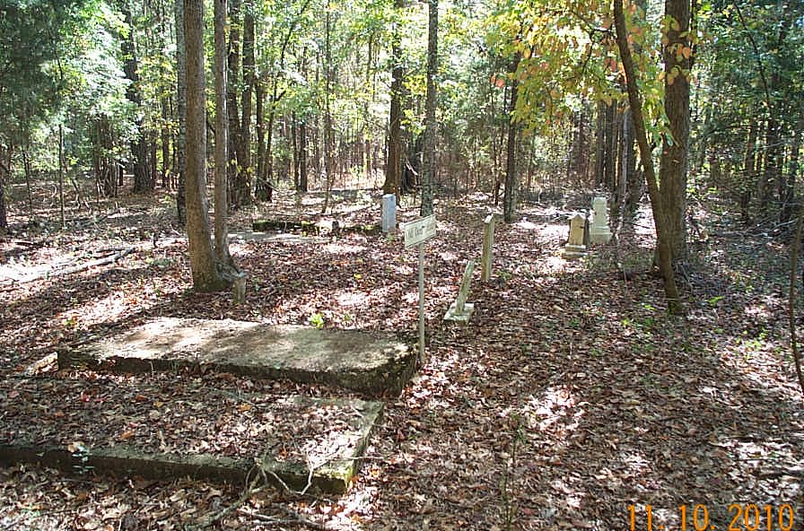
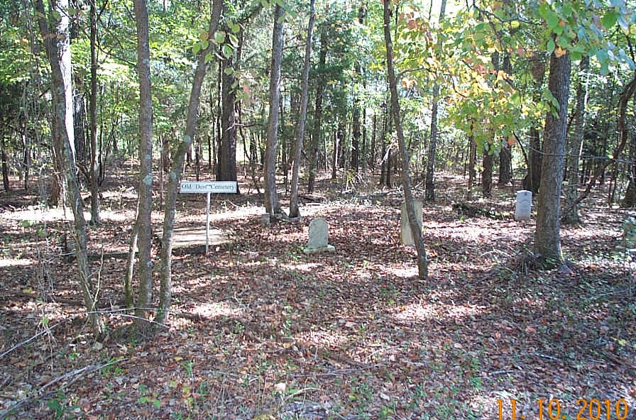
| Description | : | Cemetery location and burial list is provided at the following reference. The cemetery location is south of Mack Paul Road which intersects with Jim Underwood Road west of Wrightsville, GA. Travel west on Mack Paul from Jim Underwood Road and you will see a house on the right followed by a well hidden overgrown abandoned house (it is easy to miss - I did) on the left a short distance later. The overgrown house is approximately 0.6 mile from the turn off from Jim Underwood Road. Follow the dirt road to the right of the house along a clearing... Read More |
frequently asked questions (FAQ):
-
Where is Old Dent Cemetery?
Old Dent Cemetery is located at Mack Paul Road Wrightsville, Johnson County ,Georgia , 31096USA.
-
Old Dent Cemetery cemetery's updated grave count on graveviews.com?
0 memorials
-
Where are the coordinates of the Old Dent Cemetery?
Latitude: 32.7150500
Longitude: -82.8290500
Nearby Cemetories:
1. Dent Cemetery
Johnson County, USA
Coordinate: 32.7275009, -82.8189011
2. Walker Cemetery
Wrightsville, Johnson County, USA
Coordinate: 32.7130300, -82.8110400
3. Buckeye Baptist Church Cemetery
Laurens County, USA
Coordinate: 32.7129990, -82.8616210
4. Askew House Cemetery
East Dublin, Laurens County, USA
Coordinate: 32.7111390, -82.8640970
5. Williams Cemetery
Johnson County, USA
Coordinate: 32.7024994, -82.7966995
6. John B. Wright Cemetery
Wrightsville, Johnson County, USA
Coordinate: 32.7313340, -82.8595500
7. John B. Wright Cemetery - Slave Section
Johnson County, USA
Coordinate: 32.7313340, -82.8595500
8. Ivey Baptist Church Cemetery
Wrightsville, Johnson County, USA
Coordinate: 32.7430970, -82.8560980
9. Mount Pleasant AME Church Cemetery
Wrightsville, Johnson County, USA
Coordinate: 32.7561070, -82.8167000
10. Bethel Methodist Church Cemetery
Wrightsville, Johnson County, USA
Coordinate: 32.7582110, -82.8327670
11. Maddux Cemetery
Wrightsville, Johnson County, USA
Coordinate: 32.7242610, -82.7768500
12. Pleasant Grove Baptist Church Cemetery
Wrightsville, Johnson County, USA
Coordinate: 32.6900690, -82.7841220
13. New Bethel AME Church Cemetery
Laurens County, USA
Coordinate: 32.6838300, -82.8695100
14. Mitchell Grove Baptist Church Cemetery
Wrightsville, Johnson County, USA
Coordinate: 32.6987990, -82.7770830
15. Hightower Cemetery
Johnson County, USA
Coordinate: 32.7210999, -82.8843994
16. McAfee Family Cemetery
Johnson County, USA
Coordinate: 32.7463270, -82.7838510
17. Price-Knight Cemetery
Johnson County, USA
Coordinate: 32.7602220, -82.7970040
18. Waters Cemetery
Johnson County, USA
Coordinate: 32.7574997, -82.8672028
19. John M. Raines Cemetery
Wrightsville, Johnson County, USA
Coordinate: 32.7416590, -82.7732390
20. Price Parker Cemetery
Wrightsville, Johnson County, USA
Coordinate: 32.7486200, -82.7710400
21. Martin Cemetery
Johnson County, USA
Coordinate: 32.7599983, -82.8867035
22. U. R. Jenkins Cemetery
Wrightsville, Johnson County, USA
Coordinate: 32.7667780, -82.7777660
23. Moody Cemetery
Johnson County, USA
Coordinate: 32.7207985, -82.9096985
24. Vickers Hill Baptist Church Cemetery
Wrightsville, Johnson County, USA
Coordinate: 32.7509940, -82.7570824