
| Memorials | : | 0 |
| Location | : | Wrightsville, Johnson County, USA |
| Coordinate | : | 32.7486200, -82.7710400 |
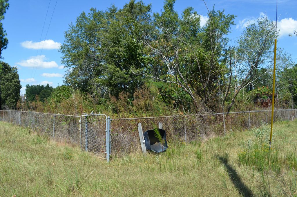
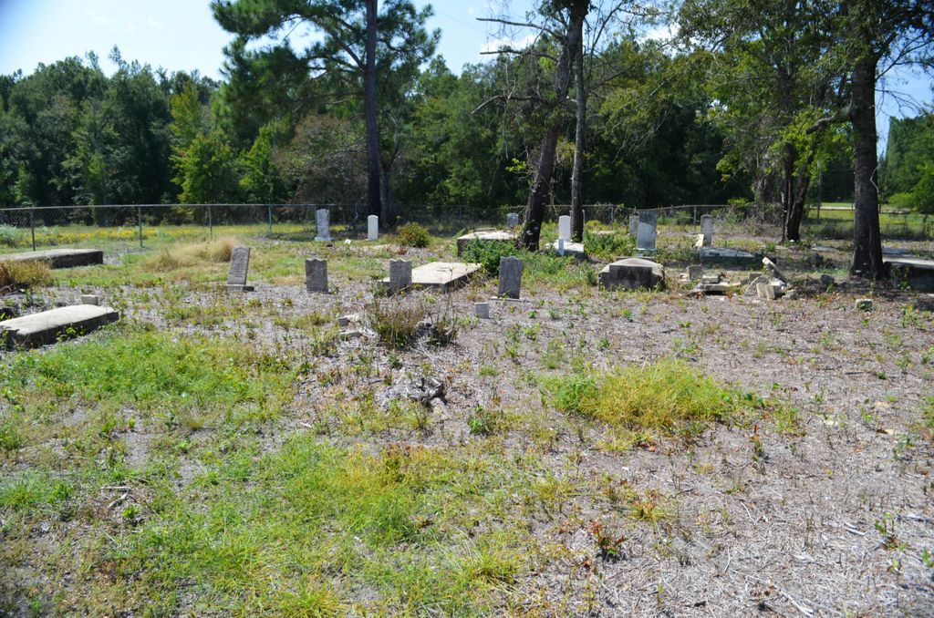
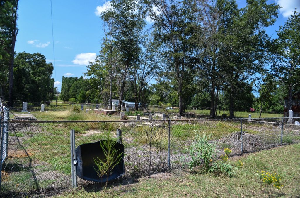
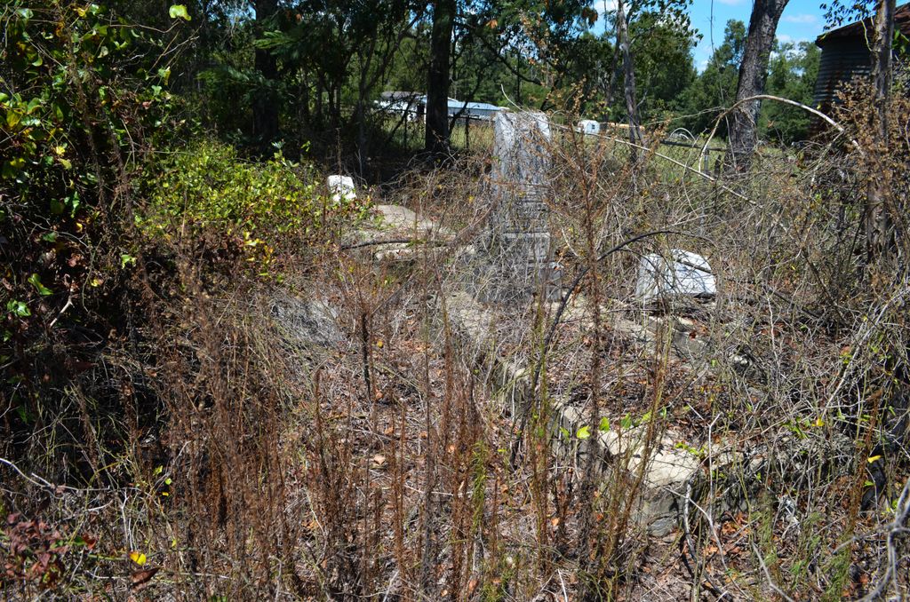
| Description | : | Take highway 57 west of Wrightsville. Turn right on Tucker Grove Church Road. Go about 3 miles to a house on your right that has a dirt driveway with a carport on the right side of house. There is a gate about 50 feet behind the house that you have to go through. Ask permission as he has horses and cows in the pastor. The graves are about 500 feet in the middle of the pastor. Its a gated cemetery. You can see the grave yard from the road. |
frequently asked questions (FAQ):
-
Where is Price Parker Cemetery?
Price Parker Cemetery is located at Tuckers Grove Church Road Wrightsville, Johnson County ,Georgia ,USA.
-
Price Parker Cemetery cemetery's updated grave count on graveviews.com?
0 memorials
-
Where are the coordinates of the Price Parker Cemetery?
Latitude: 32.7486200
Longitude: -82.7710400
Nearby Cemetories:
1. John M. Raines Cemetery
Wrightsville, Johnson County, USA
Coordinate: 32.7416590, -82.7732390
2. McAfee Family Cemetery
Johnson County, USA
Coordinate: 32.7463270, -82.7838510
3. Vickers Hill Baptist Church Cemetery
Wrightsville, Johnson County, USA
Coordinate: 32.7509940, -82.7570824
4. U. R. Jenkins Cemetery
Wrightsville, Johnson County, USA
Coordinate: 32.7667780, -82.7777660
5. Price-Knight Cemetery
Johnson County, USA
Coordinate: 32.7602220, -82.7970040
6. Maddux Cemetery
Wrightsville, Johnson County, USA
Coordinate: 32.7242610, -82.7768500
7. West View Cemetery
Wrightsville, Johnson County, USA
Coordinate: 32.7310982, -82.7319031
8. Mount Pleasant AME Church Cemetery
Wrightsville, Johnson County, USA
Coordinate: 32.7561070, -82.8167000
9. Dent Cemetery
Johnson County, USA
Coordinate: 32.7275009, -82.8189011
10. Pine Grove AME Church Cemetery
Donovan, Johnson County, USA
Coordinate: 32.7698610, -82.7221440
11. Home Circle Cemetery
Wrightsville, Johnson County, USA
Coordinate: 32.7358670, -82.7164980
12. Abattoir Cemetery
Wrightsville, Johnson County, USA
Coordinate: 32.7341700, -82.7157100
13. Walker Cemetery
Wrightsville, Johnson County, USA
Coordinate: 32.7130300, -82.8110400
14. Mitchell Grove Baptist Church Cemetery
Wrightsville, Johnson County, USA
Coordinate: 32.6987990, -82.7770830
15. Williams Cemetery
Johnson County, USA
Coordinate: 32.7024994, -82.7966995
16. Bethel Methodist Church Cemetery
Wrightsville, Johnson County, USA
Coordinate: 32.7582110, -82.8327670
17. Galilee Church Cemetery
Wrightsville, Johnson County, USA
Coordinate: 32.7059010, -82.7299100
18. Old Dent Cemetery
Wrightsville, Johnson County, USA
Coordinate: 32.7150500, -82.8290500
19. Pleasant Grove Baptist Church Cemetery
Wrightsville, Johnson County, USA
Coordinate: 32.6900690, -82.7841220
20. Sumner-Anthony Cemetery
Wrightsville, Johnson County, USA
Coordinate: 32.7034264, -82.7170105
21. Community Missionary Baptist Church Cemetery
Wrightsville, Johnson County, USA
Coordinate: 32.7030550, -82.7140480
22. Burnett Grove AME Church Cemetery
Wrightsville, Johnson County, USA
Coordinate: 32.7992700, -82.8224930
23. Ivey Baptist Church Cemetery
Wrightsville, Johnson County, USA
Coordinate: 32.7430970, -82.8560980
24. Lovett Grove Community Baptist Church Cemetery
Wrightsville, Johnson County, USA
Coordinate: 32.6800750, -82.7399620