
| Memorials | : | 0 |
| Location | : | Forest Park, Clayton County, USA |
| Coordinate | : | 33.6271900, -84.3501500 |
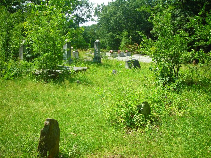
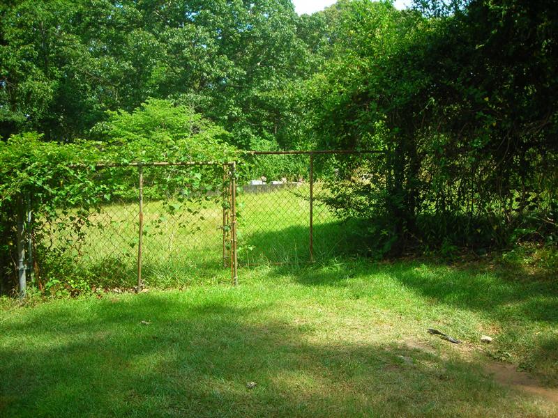
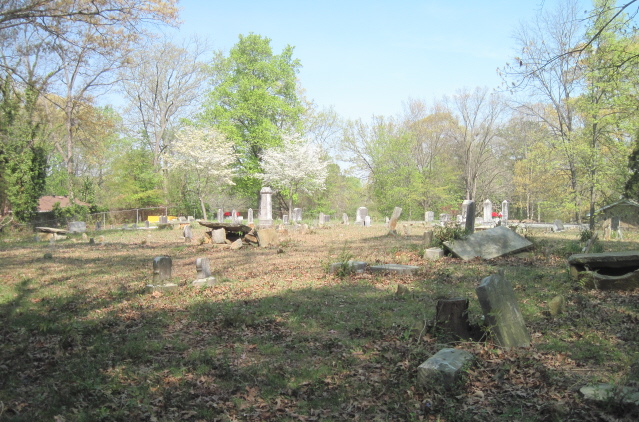
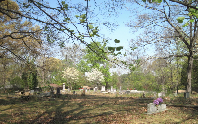
| Description | : | The church that it was once named for is no longer there. It is located at the NW intersection of Elam Church Road and Watts Road. |
frequently asked questions (FAQ):
-
Where is Old Elam Primitive Baptist Church Cemetery?
Old Elam Primitive Baptist Church Cemetery is located at Elam Church Road Forest Park, Clayton County ,Georgia ,USA.
-
Old Elam Primitive Baptist Church Cemetery cemetery's updated grave count on graveviews.com?
0 memorials
-
Where are the coordinates of the Old Elam Primitive Baptist Church Cemetery?
Latitude: 33.6271900
Longitude: -84.3501500
Nearby Cemetories:
1. Forest Grove Cemetery
Forest Park, Clayton County, USA
Coordinate: 33.6231003, -84.3546982
2. Forest Park Primitive Baptist Church Cemetery
Forest Park, Clayton County, USA
Coordinate: 33.6196230, -84.3568800
3. Forest Park City Cemetery
Forest Park, Clayton County, USA
Coordinate: 33.6193190, -84.3574260
4. Rock Springs Cemetery
Clayton County, USA
Coordinate: 33.6399994, -84.3656006
5. Forest Hills Memorial Gardens
Forest Park, Clayton County, USA
Coordinate: 33.6411110, -84.3641670
6. Jones Memorial Cemetery
Forest Park, Clayton County, USA
Coordinate: 33.6204400, -84.3816900
7. Tanners Road Baptist Church Cemetery
Conley, Clayton County, USA
Coordinate: 33.6316986, -84.3110962
8. Mathalama AME Church Cemetery
Morrow, Clayton County, USA
Coordinate: 33.6031750, -84.3212440
9. Poole Family Cemetery
Atlanta, Fulton County, USA
Coordinate: 33.6552400, -84.3746200
10. William's Chapel
Clayton County, USA
Coordinate: 33.5988930, -84.3255620
11. Old Huie-Philadelphia Community Cemetery
Forest Park, Clayton County, USA
Coordinate: 33.5943350, -84.3663310
12. Travelers Rest Missionary Baptist Church Cemetery
Morrow, Clayton County, USA
Coordinate: 33.5996640, -84.3197970
13. Brown Family Cemetery
Atlanta, Fulton County, USA
Coordinate: 33.6672840, -84.3635800
14. Saint Augustine of Canterbury Episcopal Church Col
Morrow, Clayton County, USA
Coordinate: 33.5844150, -84.3504820
15. Philadelphia Presbyterian Church Cemetery
Forest Park, Clayton County, USA
Coordinate: 33.5900002, -84.3786011
16. Coffer Grove Baptist Church Cemetery
Clayton County, USA
Coordinate: 33.6450600, -84.2996180
17. Pope Family Burial Ground
Clayton County, USA
Coordinate: 33.6300556, -84.4111778
18. Morrow Cemetery
Morrow, Clayton County, USA
Coordinate: 33.5774994, -84.3368988
19. Carver Memorial Gardens
Jonesboro, Clayton County, USA
Coordinate: 33.5797005, -84.3792038
20. Cedar Grove Cemetery
DeKalb County, USA
Coordinate: 33.6555824, -84.2916260
21. Sylvester Baptist Church Cemetery
Ellenwood, Clayton County, USA
Coordinate: 33.6156006, -84.2827988
22. Thomasville Cemetery
Atlanta, DeKalb County, USA
Coordinate: 33.6873350, -84.3466110
23. Sherwood Memorial Park and Mausoleum
Jonesboro, Clayton County, USA
Coordinate: 33.5673300, -84.3718200
24. Calvary Hill Missionary Baptist Church Cemetery
DeKalb County, USA
Coordinate: 33.6550310, -84.2821070