| Memorials | : | 397 |
| Location | : | Fairfield Township, Franklin County, USA |
| Coordinate | : | 39.5060380, -84.9482280 |
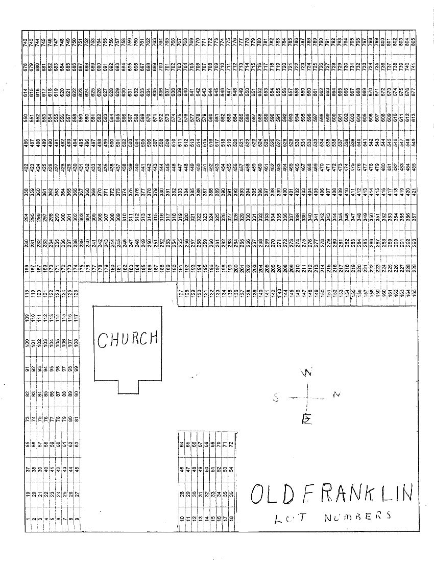
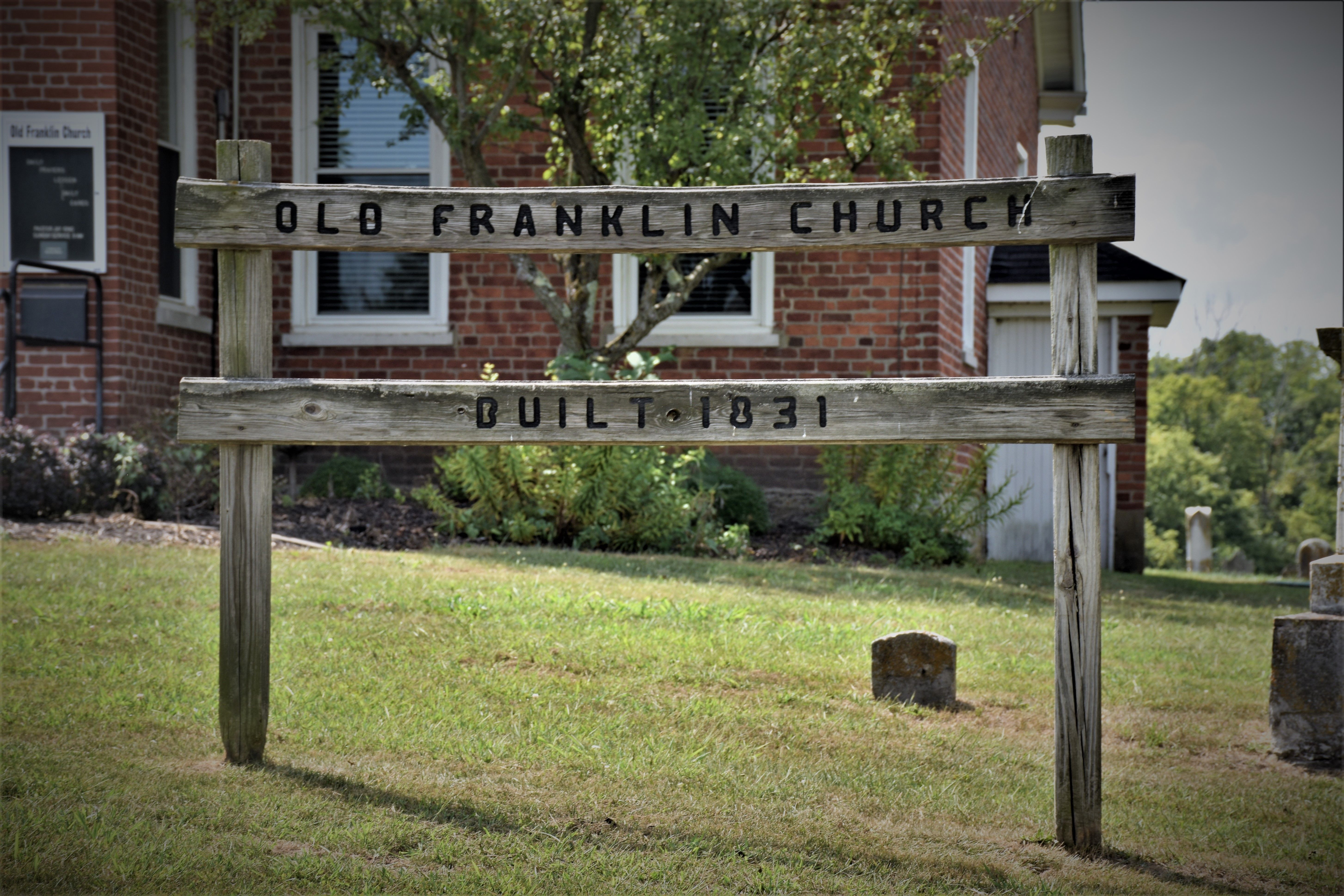
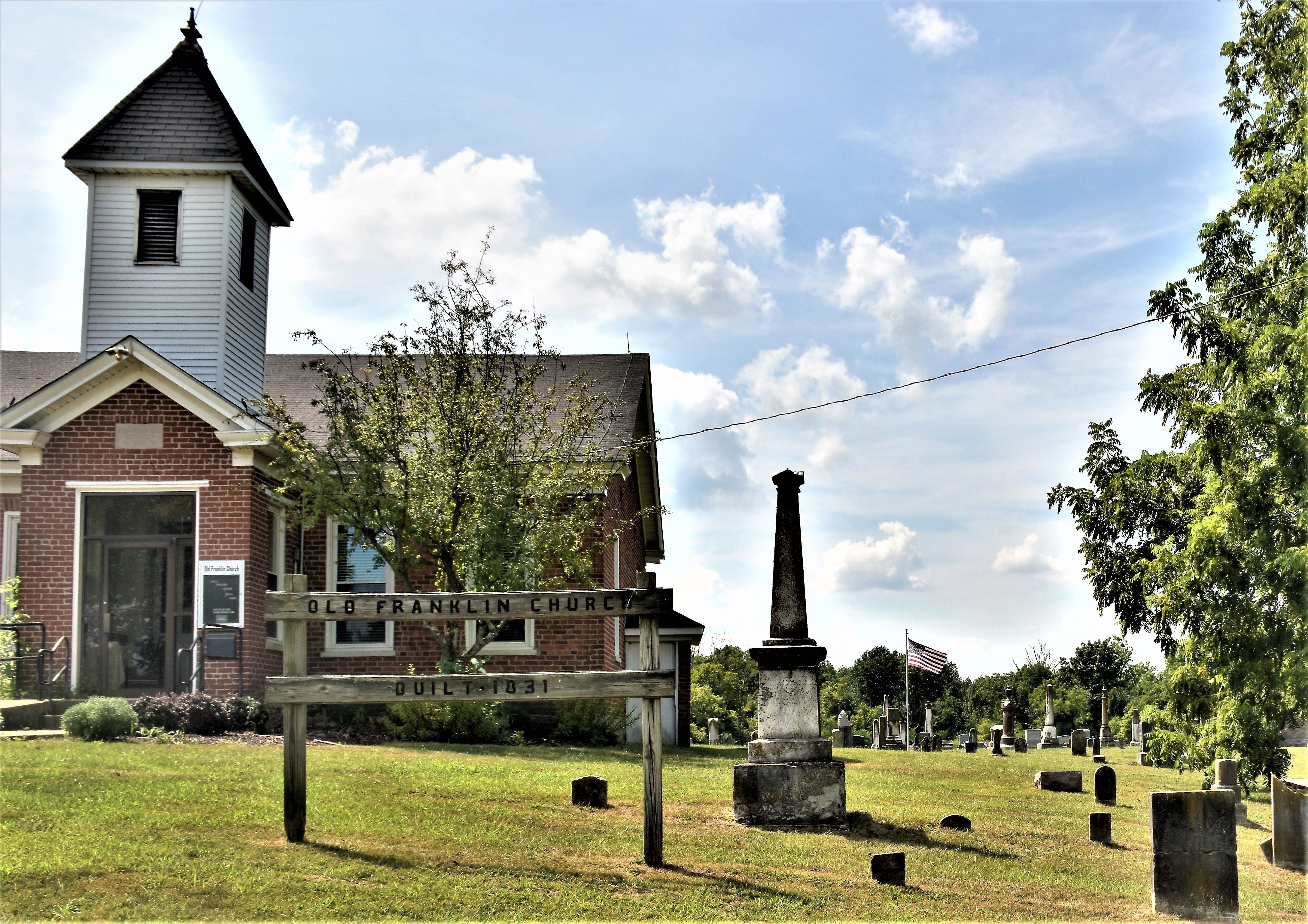
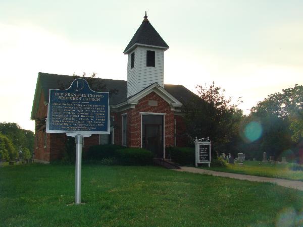
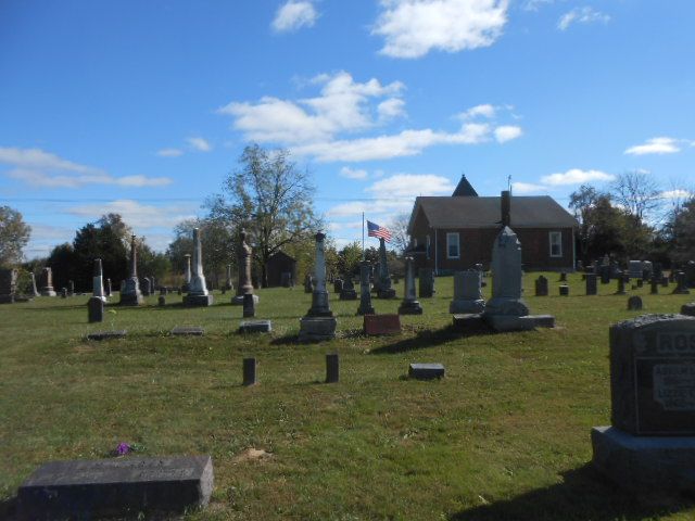
| Description | : | The historic Old Franklin Cemetery surrounds the Old Franklin Church which is visible from State Route 101, just south of Causeway Road. The church and cemetery were part of the Franklin Community, one of the earliest settlements in Indiana. The Franklin settlement was situated on an old Indian trail and connected the town of Fairfield with the Carolina Trace. The cemetery was originated in 1832 when a plot of ground was deeded from the Fry family to the United Brethren in Christ for the purpose of erecting a church building and for using the adjoining land as a... Read More |
frequently asked questions (FAQ):
-
Where is Old Franklin Cemetery?
Old Franklin Cemetery is located at Franklin Church Road Fairfield Township, Franklin County ,Indiana , 47012USA.
-
Old Franklin Cemetery cemetery's updated grave count on graveviews.com?
397 memorials
-
Where are the coordinates of the Old Franklin Cemetery?
Latitude: 39.5060380
Longitude: -84.9482280
Nearby Cemetories:
1. Sims-Brier Cemetery
Old Bath, Franklin County, USA
Coordinate: 39.5158386, -84.9646606
2. Bath Springs Cemetery
Harmony Township, Union County, USA
Coordinate: 39.5307990, -84.9575700
3. Flint Cemetery
Bath Township, Franklin County, USA
Coordinate: 39.5133710, -84.9052810
4. Coe Family Cemetery
Billingsville, Union County, USA
Coordinate: 39.5404000, -84.9205000
5. Sims Cemetery (Defunct)
Liberty, Union County, USA
Coordinate: 39.5309750, -84.9956820
6. Old DuBois Cemetery
Harmony Township, Union County, USA
Coordinate: 39.5522750, -84.9577740
7. Wallace-McKnight Cemetery
Brookville, Franklin County, USA
Coordinate: 39.4584084, -84.9091034
8. Big Cedar Cemetery
Brookville, Franklin County, USA
Coordinate: 39.4520493, -84.9112625
9. New Hope Cemetery
Harmony Township, Union County, USA
Coordinate: 39.5682983, -84.9468994
10. Abel White Cemetery
Brookville, Franklin County, USA
Coordinate: 39.4346000, -84.9454000
11. Bethlehem Cemetery
Bath, Franklin County, USA
Coordinate: 39.5159190, -84.8555230
12. Springfield Cemetery
Springfield Township, Franklin County, USA
Coordinate: 39.4658012, -84.8677979
13. Anspach Farm Cemetery
Blooming Grove, Franklin County, USA
Coordinate: 39.5054450, -85.0453950
14. Hand Cemetery
Charlottesville, Union County, USA
Coordinate: 39.5527000, -84.8708000
15. Brookville Township Cemetery
Brookville, Franklin County, USA
Coordinate: 39.4347000, -84.9828000
16. Pettigrew Cemetery
Blooming Grove, Franklin County, USA
Coordinate: 39.5022000, -85.0503000
17. Ebenezer Cemetery
Brookville, Franklin County, USA
Coordinate: 39.4688988, -85.0464020
18. Harmony Cemetery
Bath, Franklin County, USA
Coordinate: 39.4972000, -84.8355000
19. Saint Michael Cemetery
Brookville, Franklin County, USA
Coordinate: 39.4308070, -85.0095360
20. Blooming Grove Cemetery
Blooming Grove, Franklin County, USA
Coordinate: 39.5046730, -85.0640869
21. Universalist Cemetery
Charlottesville, Union County, USA
Coordinate: 39.5234890, -84.8340840
22. Berry Cemetery
Brookville, Franklin County, USA
Coordinate: 39.4161340, -84.9539200
23. Dunlapsville Cemetery
Dunlapsville, Union County, USA
Coordinate: 39.5894852, -84.9926453
24. Poplar Ridge Cemetery
Everton, Fayette County, USA
Coordinate: 39.5619000, -85.0447000


