
| Memorials | : | 0 |
| Location | : | Harmony Township, Union County, USA |
| Coordinate | : | 39.5522750, -84.9577740 |
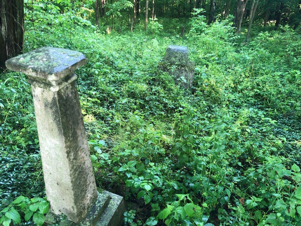
| Description | : | The Old DuBois cemetery on the Dan Schuster farm in Harmony twp. From Liberty, take Indiana 101 South. Approximately 3 3/4 miles. Turn right (west) on Bosser Road. The cemetery is located somewhere to the right about 1/2 mile off 101. The cemetery is located in Harmony Township (Section 11 Township 13N Range 13E). Indiana Cemetery Locations, Volume 1, published by the Indiana Genealogical Society (02 April 2005), gives the primary cemetery name as Dubois Cemetery with an alternate name of Schuster Cemetery. The cemetery is listed in the Cemetery and Burial Grounds Registry of the Indiana Department of Natural Resources (DNR)... Read More |
frequently asked questions (FAQ):
-
Where is Old DuBois Cemetery?
Old DuBois Cemetery is located at Bosser Road Harmony Township, Union County ,Indiana , 47353USA.
-
Old DuBois Cemetery cemetery's updated grave count on graveviews.com?
0 memorials
-
Where are the coordinates of the Old DuBois Cemetery?
Latitude: 39.5522750
Longitude: -84.9577740
Nearby Cemetories:
1. New Hope Cemetery
Harmony Township, Union County, USA
Coordinate: 39.5682983, -84.9468994
2. Bath Springs Cemetery
Harmony Township, Union County, USA
Coordinate: 39.5307990, -84.9575700
3. Coe Family Cemetery
Billingsville, Union County, USA
Coordinate: 39.5404000, -84.9205000
4. Sims Cemetery (Defunct)
Liberty, Union County, USA
Coordinate: 39.5309750, -84.9956820
5. Sims-Brier Cemetery
Old Bath, Franklin County, USA
Coordinate: 39.5158386, -84.9646606
6. Dunlapsville Cemetery
Dunlapsville, Union County, USA
Coordinate: 39.5894852, -84.9926453
7. Old Franklin Cemetery
Fairfield Township, Franklin County, USA
Coordinate: 39.5060380, -84.9482280
8. Flint Cemetery
Bath Township, Franklin County, USA
Coordinate: 39.5133710, -84.9052810
9. Silver Creek Friends Cemetery
Center Township, Union County, USA
Coordinate: 39.6110440, -84.9384080
10. Ward Cemetery
Liberty, Union County, USA
Coordinate: 39.6062280, -84.9090640
11. Hand Cemetery
Charlottesville, Union County, USA
Coordinate: 39.5527000, -84.8708000
12. Poplar Ridge Cemetery
Everton, Fayette County, USA
Coordinate: 39.5619000, -85.0447000
13. Calvary Cemetery
Liberty, Union County, USA
Coordinate: 39.6217003, -84.9364014
14. Salem Friends Cemetery
Salem, Union County, USA
Coordinate: 39.6047058, -84.8904114
15. Anspach Farm Cemetery
Blooming Grove, Franklin County, USA
Coordinate: 39.5054450, -85.0453950
16. Silver Creek Cemetery
Liberty, Union County, USA
Coordinate: 39.6363690, -84.9536790
17. Drook Cemetery
Liberty, Union County, USA
Coordinate: 39.6306000, -84.9167023
18. Hanson-Crandel Cemetery
Connersville, Fayette County, USA
Coordinate: 39.5984100, -85.0501400
19. Keiffer Cemetery
Cottage Grove, Union County, USA
Coordinate: 39.5816994, -84.8525009
20. Bethlehem Cemetery
Bath, Franklin County, USA
Coordinate: 39.5159190, -84.8555230
21. Pettigrew Cemetery
Blooming Grove, Franklin County, USA
Coordinate: 39.5022000, -85.0503000
22. Mount Pleasant Cemetery
Dunlapsville, Union County, USA
Coordinate: 39.6280400, -85.0159240
23. McIlwaine Burying Ground
Jackson Township, Fayette County, USA
Coordinate: 39.5274460, -85.0678930
24. West Point Cemetery
Liberty, Union County, USA
Coordinate: 39.6393890, -84.9372450