
| Memorials | : | 100 |
| Location | : | Walmer, Dover District, England |
| Coordinate | : | 51.2032261, 1.3870063 |
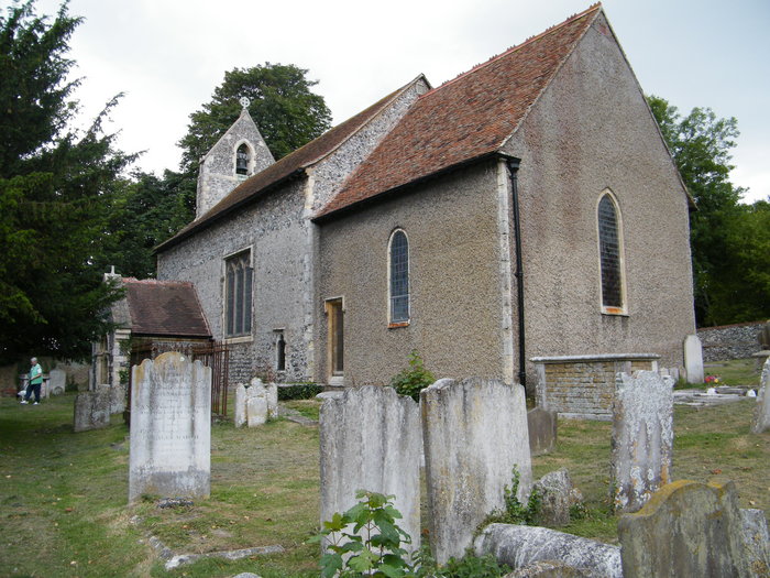
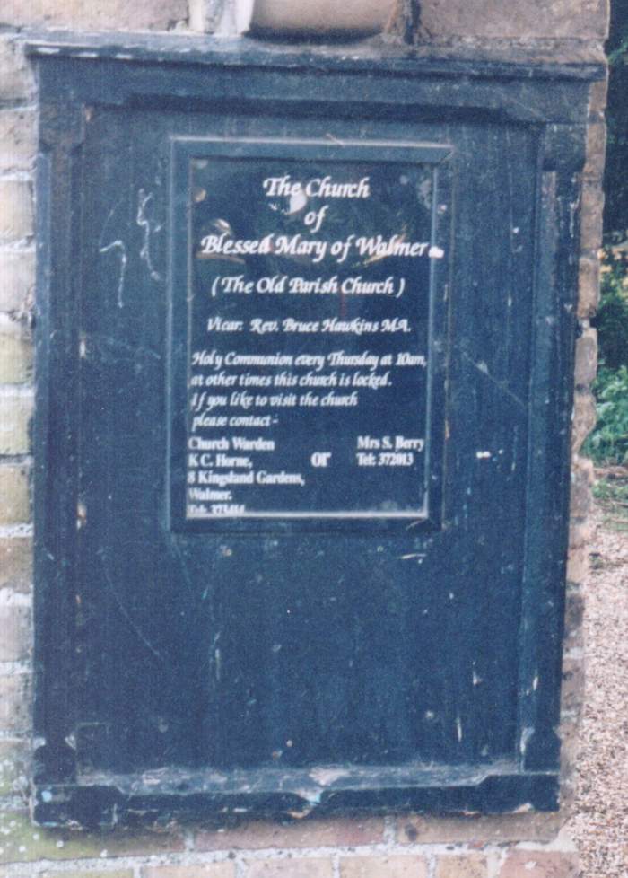
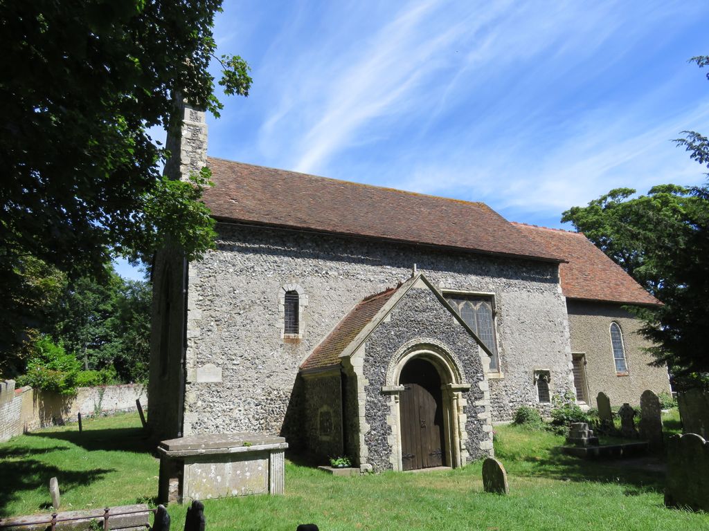
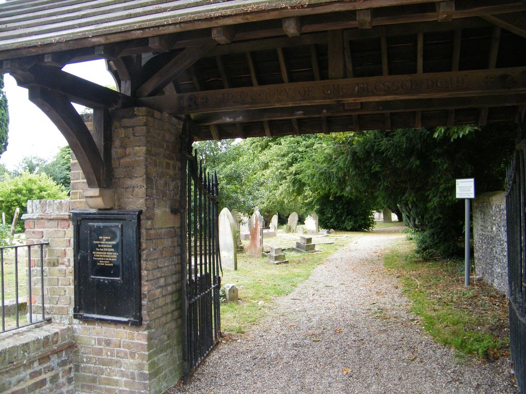
| Description | : | Old St Mary's Church, officially known as The Blessed Virgin Mary Church, is a grade II* listed Anglican church in Upper Walmer, Kent The church dates from the early Norman era, being built in 1120 as the chapel to the adjoining Walmer Manor (now in ruins). The church is small, with a nave built of flint, and a roughcast lower chancel. The original Norman entrance door and chancel arch survive, along with two windows on the south side. However, the nave's north wall was removed early in the 19th century to build on an extended and deep north aisle between 1825... Read More |
frequently asked questions (FAQ):
-
Where is Old St Mary's Churchyard?
Old St Mary's Churchyard is located at 34 Church St Walmer, Dover District ,Kent , CT14 7RTEngland.
-
Old St Mary's Churchyard cemetery's updated grave count on graveviews.com?
100 memorials
-
Where are the coordinates of the Old St Mary's Churchyard?
Latitude: 51.2032261
Longitude: 1.3870063
Nearby Cemetories:
1. Hamilton Road Cemetery
Deal, Dover District, England
Coordinate: 51.2140870, 1.3923380
2. St Leonard Churchyard
Deal, Dover District, England
Coordinate: 51.2169940, 1.3817700
3. St Mary the Virgin Churchyard
Ripple, Dover District, England
Coordinate: 51.2027080, 1.3629570
4. St. Nicholas Churchyard
Sholden, Dover District, England
Coordinate: 51.2198600, 1.3769300
5. St. Nicholas' Churchyard
Ringwould, Dover District, England
Coordinate: 51.1853300, 1.3754880
6. St John the Evangelist Churchyard
Deal, Dover District, England
Coordinate: 51.1862200, 1.4016700
7. St John Churchyard
Kingsdown, Dover District, England
Coordinate: 51.1860700, 1.4023200
8. St Martin Churchyard
Great Mongeham, Dover District, England
Coordinate: 51.2145160, 1.3581010
9. Deal Congregational Church
Deal, Dover District, England
Coordinate: 51.2264163, 1.4024282
10. St. Peter and St. Paul Churchyard
Sutton, Dover District, England
Coordinate: 51.1955800, 1.3397700
11. St Augustine Churchyard
Northbourne, Dover District, England
Coordinate: 51.2221700, 1.3403500
12. St Augustine's Church
East Langdon, Dover District, England
Coordinate: 51.1654990, 1.3357270
13. St. Margaret of Antioch Churchyard
St Margarets at Cliffe, Dover District, England
Coordinate: 51.1534950, 1.3714350
14. St Mary the Virgin Churchyard
Betteshanger, Dover District, England
Coordinate: 51.2251200, 1.3118800
15. Saint Peters Church
Westcliffe, Dover District, England
Coordinate: 51.1542430, 1.3573340
16. Church of Saint George at Ham
Eastry, Dover District, England
Coordinate: 51.2444830, 1.3319350
17. Saint Andrew Churchyard
Tilmanstone, Dover District, England
Coordinate: 51.2159790, 1.2950400
18. St Mary the Virgin Churchyard
Eastry, Dover District, England
Coordinate: 51.2453000, 1.3100000
19. St Peter Churchyard
Whitfield, Dover District, England
Coordinate: 51.1655000, 1.3037000
20. All Saints Churchyard
Waldershare, Dover District, England
Coordinate: 51.1875170, 1.2857870
21. St Clement's Church
Sandwich, Dover District, England
Coordinate: 51.2736510, 1.3427270
22. Eythorne Baptist Church Cemetery
Eythorne, Dover District, England
Coordinate: 51.1982330, 1.2661470
23. St. Peter's Churchyard
Sandwich, Dover District, England
Coordinate: 51.2747680, 1.3405120
24. Saint Mary The Virgin Churchyard
Woodnesborough, Dover District, England
Coordinate: 51.2628240, 1.3073810