
| Memorials | : | 1 |
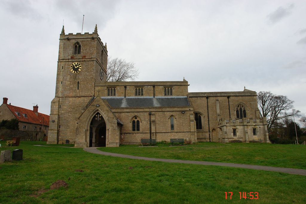
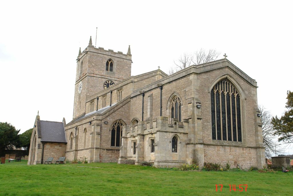
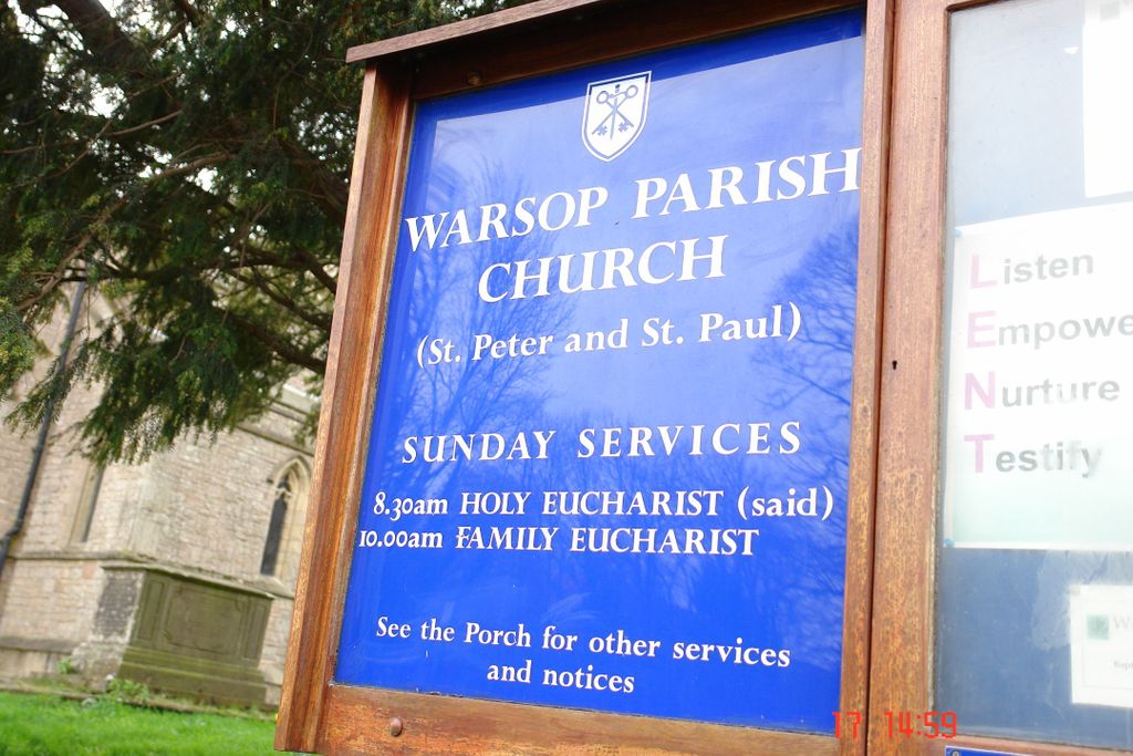
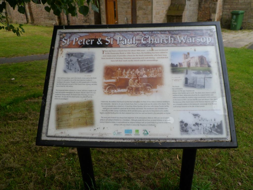
| Location | : | Church Warsop, Mansfield District, England |
| Coordinate | : | 53.2134000, -1.1511200 |
| Description | : | St Peters & St Pauls is a Grade 1 listed Parish Church in Church Warsop. The church was built in the 11th century. It was restored and re-roofed, and a new organ chamber built in 1878. |
frequently asked questions (FAQ):
-
Where is St. Peter & St. Paul's Churchyard?
St. Peter & St. Paul's Churchyard is located at Church Road Church Warsop, Mansfield District ,Nottinghamshire , NG20England.
-
St. Peter & St. Paul's Churchyard cemetery's updated grave count on graveviews.com?
1 memorials
-
Where are the coordinates of the St. Peter & St. Paul's Churchyard?
Latitude: 53.2134000
Longitude: -1.1511200
Nearby Cemetories:
1. Warsop Cemetery
Warsop, Mansfield District, England
Coordinate: 53.2160000, -1.1497000
2. St. Mary's Churchyard
Norton, Bassetlaw District, England
Coordinate: 53.2364800, -1.1530400
3. St. Lukes Whaley Thorns Burial Ground
Nether Langwith, Bassetlaw District, England
Coordinate: 53.2383210, -1.2034396
4. St. Winifred Churchyard
Holbeck, Bassetlaw District, England
Coordinate: 53.2536780, -1.1817640
5. The Forest Cemetery
Edwinstowe, Newark and Sherwood District, England
Coordinate: 53.1990600, -1.0704800
6. Clipstone Parish Cemetery
Clipstone, Newark and Sherwood District, England
Coordinate: 53.1657350, -1.1171430
7. St. Mary's Churchyard
Edwinstowe, Newark and Sherwood District, England
Coordinate: 53.1958920, -1.0656390
8. St. Edmund King & Martyr Churchyard Extension
Mansfield, Mansfield District, England
Coordinate: 53.1638200, -1.1900600
9. St. Giles Churchyard
Carburton, Bassetlaw District, England
Coordinate: 53.2530500, -1.0855200
10. St Alban the Martyr Churchyard
Forest Town, Mansfield District, England
Coordinate: 53.1524570, -1.1632350
11. St. Mary Magdalene's Churchyard
Creswell, Bolsover District, England
Coordinate: 53.2630820, -1.2132450
12. St Mary Magdalene Churchyard
Creswell, Stafford Borough, England
Coordinate: 53.2631170, -1.2132800
13. Saint Leonard Churchyard
Scarcliffe, Bolsover District, England
Coordinate: 53.2139400, -1.2597200
14. St Michael Churchyard
Pleasley, Bolsover District, England
Coordinate: 53.1755900, -1.2469200
15. St. John The Evangelist Church
Nottingham Unitary Authority, England
Coordinate: 53.2317530, -1.0345260
16. St. John the Evangelist Churchyard
Perlethorpe, Newark and Sherwood District, England
Coordinate: 53.2317600, -1.0344800
17. St. Peter's Churchyard
Mansfield, Mansfield District, England
Coordinate: 53.1434700, -1.1928900
18. Saint Lawrence Churchyard
Whitwell, Bolsover District, England
Coordinate: 53.2859088, -1.2126154
19. Ollerton Cemetery
Ollerton, Newark and Sherwood District, England
Coordinate: 53.2025700, -1.0139900
20. Langwith Road Cemetery
Bolsover, Bolsover District, England
Coordinate: 53.2252800, -1.2883500
21. Oxcroft Lane Cemetery
Bolsover, Bolsover District, England
Coordinate: 53.2374098, -1.2871212
22. St. Mary Old Churchyard
Bolsover, Bolsover District, England
Coordinate: 53.2276370, -1.2909470
23. Nottingham Road Cemetery
Mansfield, Mansfield District, England
Coordinate: 53.1270400, -1.1920500
24. Sherwood Forest Crematorium
Ollerton, Newark and Sherwood District, England
Coordinate: 53.2026140, -1.0005390