
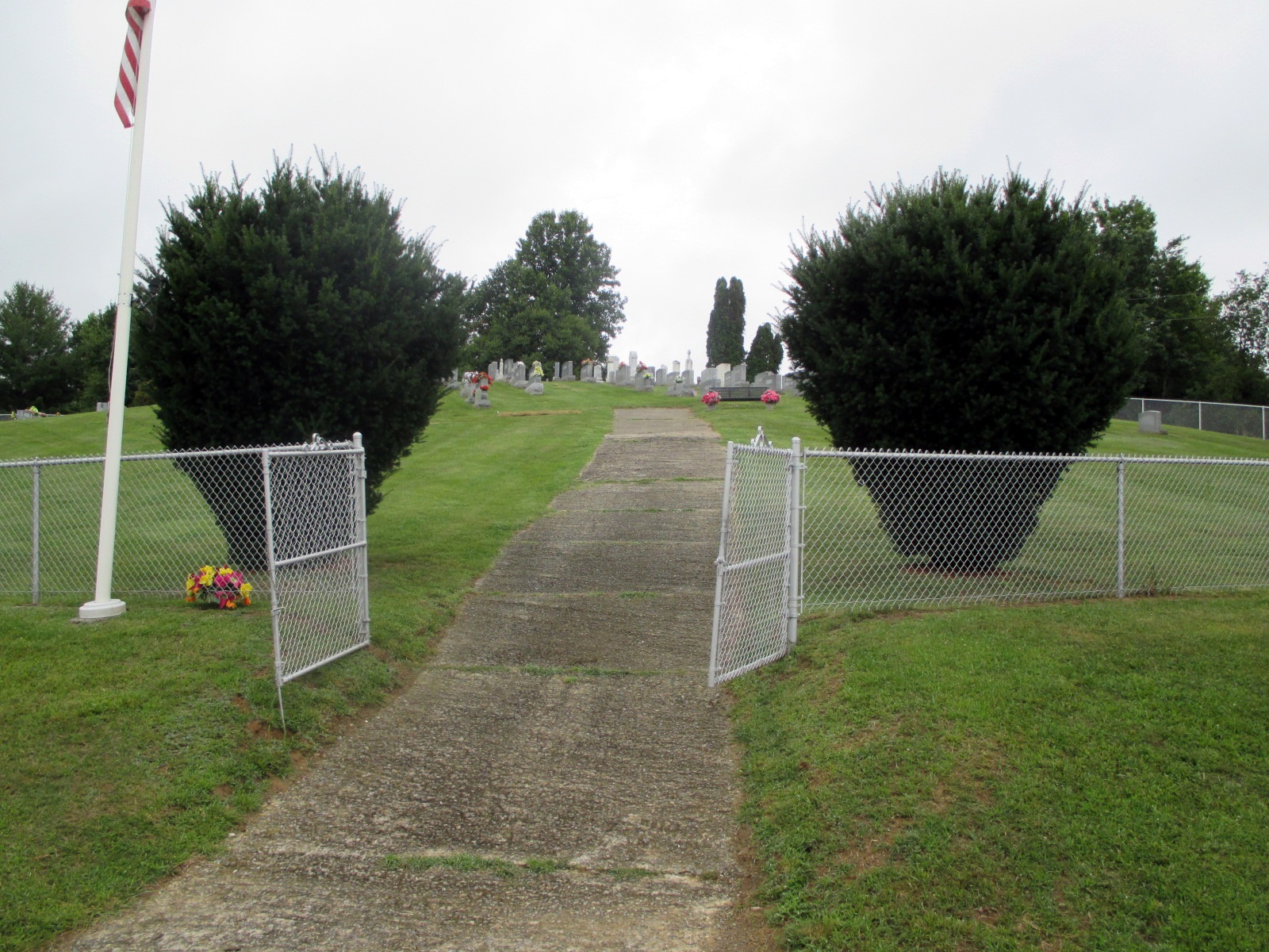
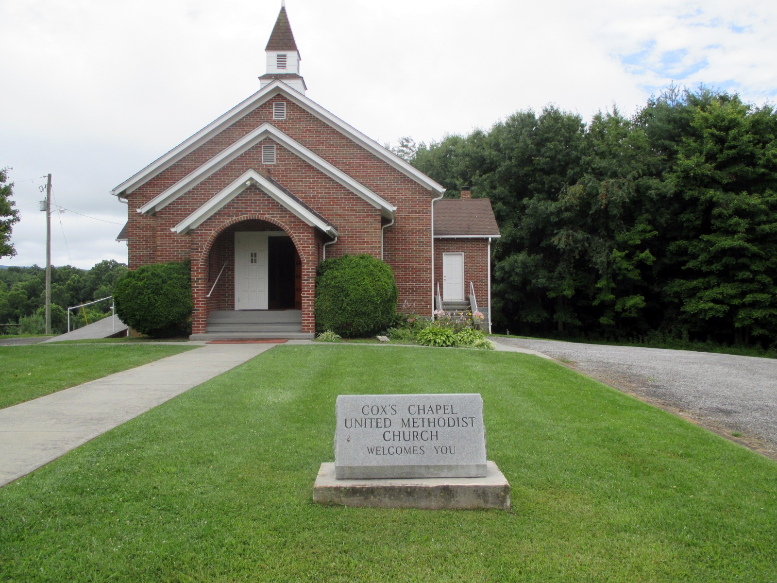
| Memorials | : | 245 |
| Location | : | Independence, Grayson County, USA |
| Coordinate | : | 36.5792007, -81.2285995 |
frequently asked questions (FAQ):
-
Where is Coxs Chapel Cemetery?
Coxs Chapel Cemetery is located at River Bend Road (Rt. 708) Independence, Grayson County ,Virginia , 24363USA.
-
Coxs Chapel Cemetery cemetery's updated grave count on graveviews.com?
245 memorials
-
Where are the coordinates of the Coxs Chapel Cemetery?
Latitude: 36.5792007
Longitude: -81.2285995
Nearby Cemetories:
1. Bob Marsh Cemetery
Independence, Grayson County, USA
Coordinate: 36.5730180, -81.2428840
2. Ruth Howell Gravesite
Cox Mill, Grayson County, USA
Coordinate: 36.5906680, -81.2195970
3. William Ham Family Cemetery
Cox Mill, Grayson County, USA
Coordinate: 36.5920690, -81.2109530
4. Silas Ward Family Cemetery
Bridle Creek, Grayson County, USA
Coordinate: 36.5944650, -81.2447570
5. Enoch W. Cox Family Cemetery
Elk Creek, Grayson County, USA
Coordinate: 36.5900000, -81.2500000
6. Osborne R. Anders Cemetery
Independence, Grayson County, USA
Coordinate: 36.5882890, -81.2049070
7. Isom Cox Cemetery
Grayson County, USA
Coordinate: 36.5927590, -81.2487870
8. Dunkard Church Cemetery
Alleghany County, USA
Coordinate: 36.5575700, -81.2286520
9. Osborne Fort Cemetery
Bridle Creek, Grayson County, USA
Coordinate: 36.6009430, -81.2295110
10. Riley Ward Family Cemetery
Grayson County, USA
Coordinate: 36.5777750, -81.2564670
11. Ben Taylor Cemetery
Independence, Grayson County, USA
Coordinate: 36.5938300, -81.1990000
12. Hash-Shaver Cemetery
Independence, Grayson County, USA
Coordinate: 36.6042160, -81.2484510
13. Andrew Jackson Haga Cemetery
Independence, Grayson County, USA
Coordinate: 36.5988000, -81.1974300
14. Mountain View Baptist Church Cemetery
Independence, Grayson County, USA
Coordinate: 36.5922690, -81.1917250
15. Isaac W Landreth Cemetery
Amelia, Alleghany County, USA
Coordinate: 36.5485300, -81.2084480
16. Gold Hill Cemetery - Old
Independence, Grayson County, USA
Coordinate: 36.6035900, -81.2601310
17. W N Taylor Cemetery
Independence, Grayson County, USA
Coordinate: 36.5730810, -81.1850520
18. William Farmer Cemetery
Independence, Grayson County, USA
Coordinate: 36.5961890, -81.1895530
19. Rose Family Cemetery
Bridle Creek, Grayson County, USA
Coordinate: 36.6138220, -81.2401380
20. Caudill Cemetery
Independence, Grayson County, USA
Coordinate: 36.5796920, -81.1825330
21. Joshua Cox Family Cemetery
Mouth of Wilson, Grayson County, USA
Coordinate: 36.5757660, -81.2750100
22. John D. Cox Cemetery
Mouth of Wilson, Grayson County, USA
Coordinate: 36.5760635, -81.2760954
23. Gold Hill Cemetery
Independence, Grayson County, USA
Coordinate: 36.6074630, -81.2640310
24. James P. Hash Cemetery
Independence, Grayson County, USA
Coordinate: 36.6074630, -81.2640310