
| Memorials | : | 88 |
| Location | : | Independence, Grayson County, USA |
| Coordinate | : | 36.6035900, -81.2601310 |
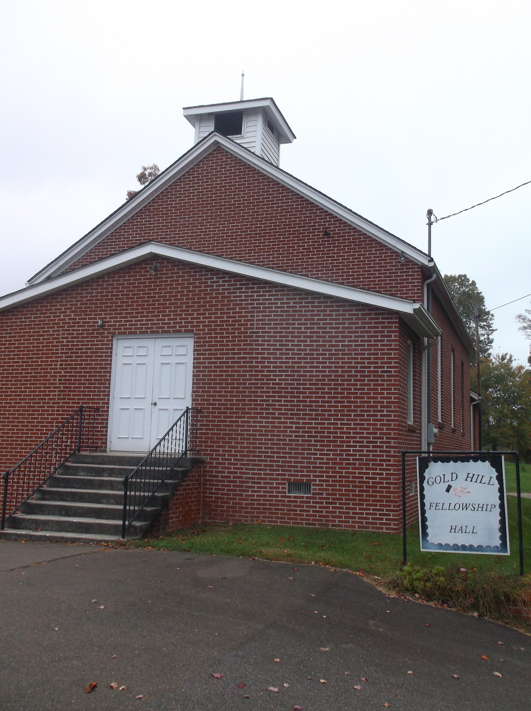
| Description | : | This cemetery is on Gold Hill Road (Rt 681) about a mile south of Wilson Parkway (US 58) at the Gold Hill Church social hall (old Gold Hill Church). The Gold Hill Cemetery is actually in two physical locations, because there was no room at this location. You will pass the new Gold Hill Cemetery as you drive to this cemetery. Surveyed by: Rich and Ginger Ballard on 22 Mar 2003. |
frequently asked questions (FAQ):
-
Where is Gold Hill Cemetery - Old?
Gold Hill Cemetery - Old is located at Route 711 Independence, Grayson County ,Virginia , 24348USA.
-
Gold Hill Cemetery - Old cemetery's updated grave count on graveviews.com?
0 memorials
-
Where are the coordinates of the Gold Hill Cemetery - Old?
Latitude: 36.6035900
Longitude: -81.2601310
Nearby Cemetories:
1. Gold Hill Cemetery
Independence, Grayson County, USA
Coordinate: 36.6074630, -81.2640310
2. James P. Hash Cemetery
Independence, Grayson County, USA
Coordinate: 36.6074630, -81.2640310
3. Hash-Shaver Cemetery
Independence, Grayson County, USA
Coordinate: 36.6042160, -81.2484510
4. Jacob G Kirk Cemetery
Bridle Creek, Grayson County, USA
Coordinate: 36.6043810, -81.2725240
5. A B Cox Cemetery
Fox, Grayson County, USA
Coordinate: 36.6154450, -81.2567280
6. Isom Cox Cemetery
Grayson County, USA
Coordinate: 36.5927590, -81.2487870
7. Reed Cox Cemetery
Bridle Creek, Grayson County, USA
Coordinate: 36.6174390, -81.2661810
8. Silas Ward Family Cemetery
Bridle Creek, Grayson County, USA
Coordinate: 36.5944650, -81.2447570
9. Enoch W. Cox Family Cemetery
Elk Creek, Grayson County, USA
Coordinate: 36.5900000, -81.2500000
10. Grace Freewill Baptist Church Cemetery
Independence, Grayson County, USA
Coordinate: 36.6187458, -81.2531391
11. Jesse Cox Cemetery
Fox, Grayson County, USA
Coordinate: 36.6061920, -81.2821810
12. Bridle Creek Cemetery
Independence, Grayson County, USA
Coordinate: 36.6177260, -81.2445850
13. Rose Family Cemetery
Bridle Creek, Grayson County, USA
Coordinate: 36.6138220, -81.2401380
14. Grayson County Poor Farm Cemetery
Independence, Grayson County, USA
Coordinate: 36.6240130, -81.2650110
15. Anderson Rutherford Family Cemetery
Fox, Grayson County, USA
Coordinate: 36.5971924, -81.2858573
16. Alexander Phipps Cemetery
Bridle Creek, Grayson County, USA
Coordinate: 36.6269490, -81.2557980
17. Charlie Bryant Family Cemetery
Bridle Creek, Grayson County, USA
Coordinate: 36.6275740, -81.2637970
18. Osborne Fort Cemetery
Bridle Creek, Grayson County, USA
Coordinate: 36.6009430, -81.2295110
19. Potato Creek Cemetery
Mouth of Wilson, Grayson County, USA
Coordinate: 36.5835991, -81.2794037
20. Riley Ward Family Cemetery
Grayson County, USA
Coordinate: 36.5777750, -81.2564670
21. B H Phipps Family Cemetery
Bridle Creek, Grayson County, USA
Coordinate: 36.6287000, -81.2722000
22. Bachelors Ward Cemetery
Independence, Grayson County, USA
Coordinate: 36.6261920, -81.2388380
23. Fox Creek Primitive Baptist Church
Grayson County, USA
Coordinate: 36.6098900, -81.2954560
24. Fox Union Cemetery
Independence, Grayson County, USA
Coordinate: 36.6096992, -81.2957993