
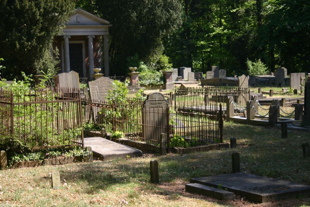
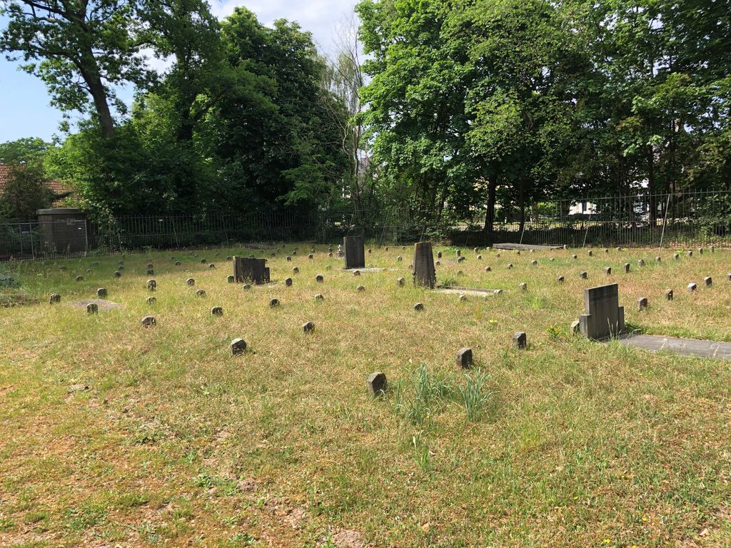
| Memorials | : | 0 |
| Location | : | Amerongen, Utrechtse Heuvelrug Municipality, Netherlands |
| Coordinate | : | 51.9989844, 5.4677837 |
frequently asked questions (FAQ):
-
Where is Oude Begraafplaats?
Oude Begraafplaats is located at Amerongen Amerongen, Utrechtse Heuvelrug Municipality ,Utrecht , 3958 EPNetherlands.
-
Oude Begraafplaats cemetery's updated grave count on graveviews.com?
0 memorials
-
Where are the coordinates of the Oude Begraafplaats?
Latitude: 51.9989844
Longitude: 5.4677837

Nearby Cemetories:
1. Amerongen Holleweg General Cemetery
Amerongen, Utrechtse Heuvelrug Municipality, Netherlands
Coordinate: 52.0030000, 5.4665700
2. Elst General Cemetery
Elst, Rhenen Municipality, Netherlands
Coordinate: 51.9843400, 5.4978800
3. Nieuwe Begraafplaats
Leersum, Utrechtse Heuvelrug Municipality, Netherlands
Coordinate: 52.0163800, 5.4197400
4. Maurik Roman Catholic Cemetery
Maurik, Buren Municipality, Netherlands
Coordinate: 51.9617100, 5.4302500
5. Joodse Begraafplaats
Veenendaal Municipality, Netherlands
Coordinate: 52.0135700, 5.5543300
6. Lienden General Cemetery
Lienden, Buren Municipality, Netherlands
Coordinate: 51.9513900, 5.5209200
7. De Munnikenhof Begraafplaats
Veenendaal, Veenendaal Municipality, Netherlands
Coordinate: 52.0339200, 5.5475300
8. Joodse Begraafplaats
Rhenen Municipality, Netherlands
Coordinate: 51.9660400, 5.5721300
9. Rhenen General Cemetery
Rhenen, Rhenen Municipality, Netherlands
Coordinate: 51.9614700, 5.5752200
10. Joodse Begraafplaats Steenstraat
Wijk bij Duurstede Municipality, Netherlands
Coordinate: 51.9757500, 5.3432200
11. Joodse Begraafplaats Heijmanspad
Wijk bij Duurstede Municipality, Netherlands
Coordinate: 51.9709900, 5.3428500
12. Wijk-Bij-Duurstede General Cemetery
Wijk bij Duurstede, Wijk bij Duurstede Municipality, Netherlands
Coordinate: 51.9751800, 5.3388600
13. Oude Algemene Begraafplaats
Doorn, Utrechtse Heuvelrug Municipality, Netherlands
Coordinate: 52.0397100, 5.3459400
14. Huis Doorn
Doorn, Utrechtse Heuvelrug Municipality, Netherlands
Coordinate: 52.0314140, 5.3386660
15. Hervormde Begraafplaats Nederlangbroek
Langbroek, Wijk bij Duurstede Municipality, Netherlands
Coordinate: 52.0114502, 5.3274783
16. Katholieke Begraafplaats
Maarn, Utrechtse Heuvelrug Municipality, Netherlands
Coordinate: 52.0673700, 5.3790400
17. Woudenberg General Cemetery
Woudenberg, Woudenberg Municipality, Netherlands
Coordinate: 52.0823400, 5.4079800
18. Militair Ereveld Grebbeberg
Rhenen, Rhenen Municipality, Netherlands
Coordinate: 51.9556300, 5.6004200
19. Doorn Nieuwe Algemene Begraafplaats
Doorn, Utrechtse Heuvelrug Municipality, Netherlands
Coordinate: 52.0484200, 5.3203200
20. Algemene Begraafplaats Zoelen en Kerk-Avezaath
Zoelen, Buren Municipality, Netherlands
Coordinate: 51.9064740, 5.3880700
21. Tiel Roman Catholic Cemetery
Tiel, Tiel Municipality, Netherlands
Coordinate: 51.8919400, 5.4298300
22. Joodse Begraafplaats
Tiel Municipality, Netherlands
Coordinate: 51.8907220, 5.4324720
23. Begraafplaats Ter Navolging
Tiel, Tiel Municipality, Netherlands
Coordinate: 51.8904900, 5.4273700
24. Nieuwe Begraafplaats
Driebergen-Rijsenburg, Utrechtse Heuvelrug Municipality, Netherlands
Coordinate: 52.0641100, 5.3100900