
| Memorials | : | 0 |
| Location | : | Rhenen, Rhenen Municipality, Netherlands |
| Coordinate | : | 51.9556300, 5.6004200 |
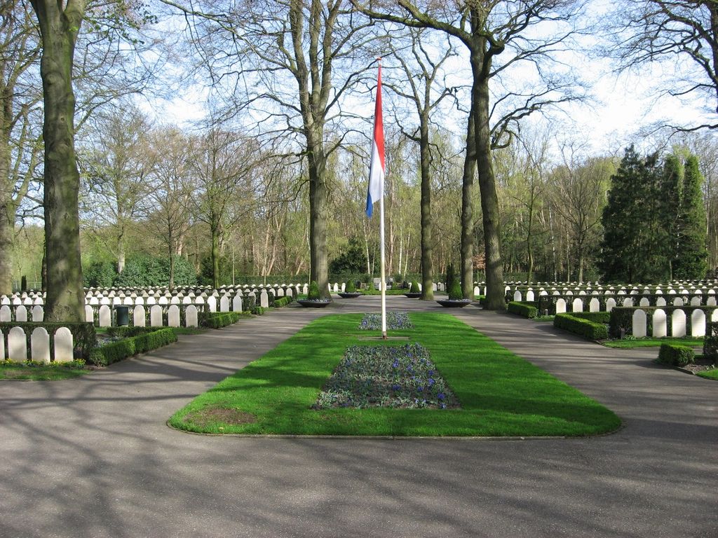
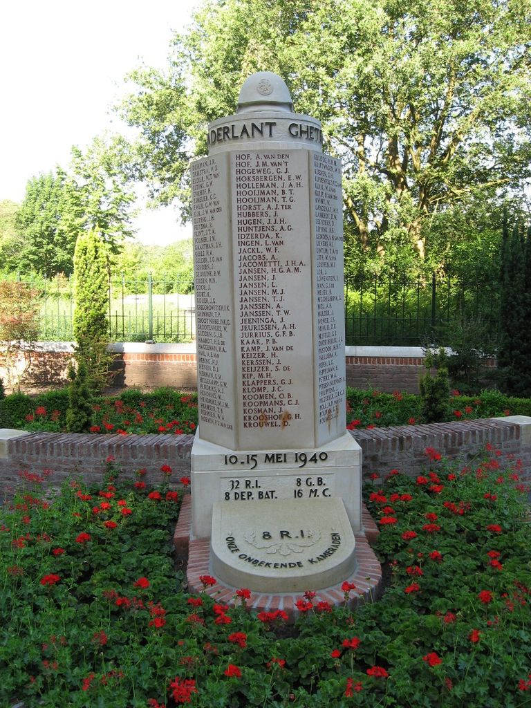
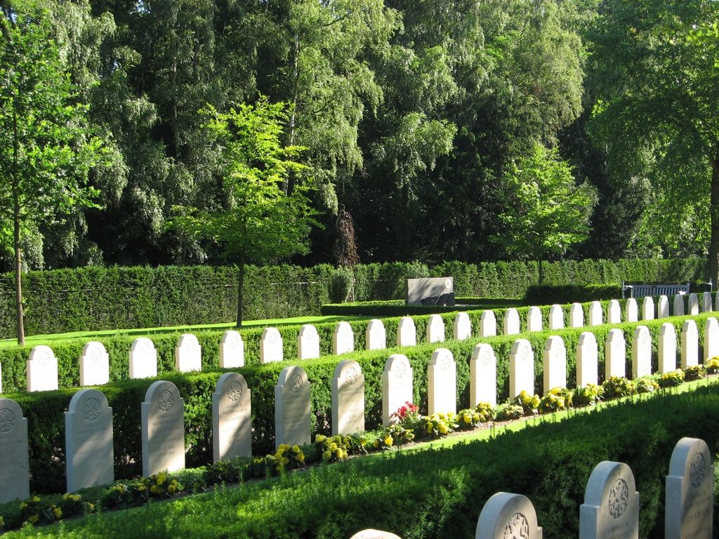
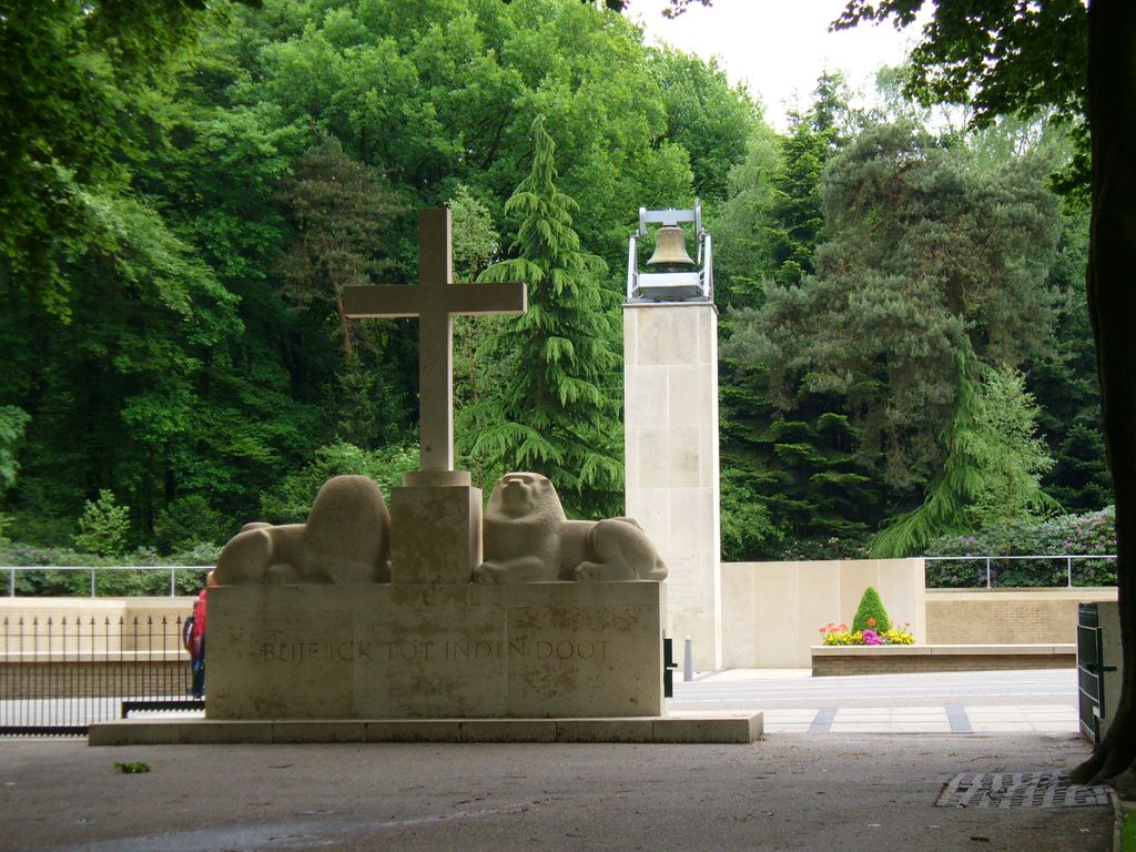
| Description | : | The Military War Cemetery Grebbeberg is a graveyard where 799 military personnel and 1 civilian were buried, who died during the invasion of the Netherlands by the Germans in May 1940. The cemetery is located on the Grebbeberg near Rhenen. More than 400 of the military interred here fell during the Battle of the Grebbeberg. |
frequently asked questions (FAQ):
-
Where is Militair Ereveld Grebbeberg?
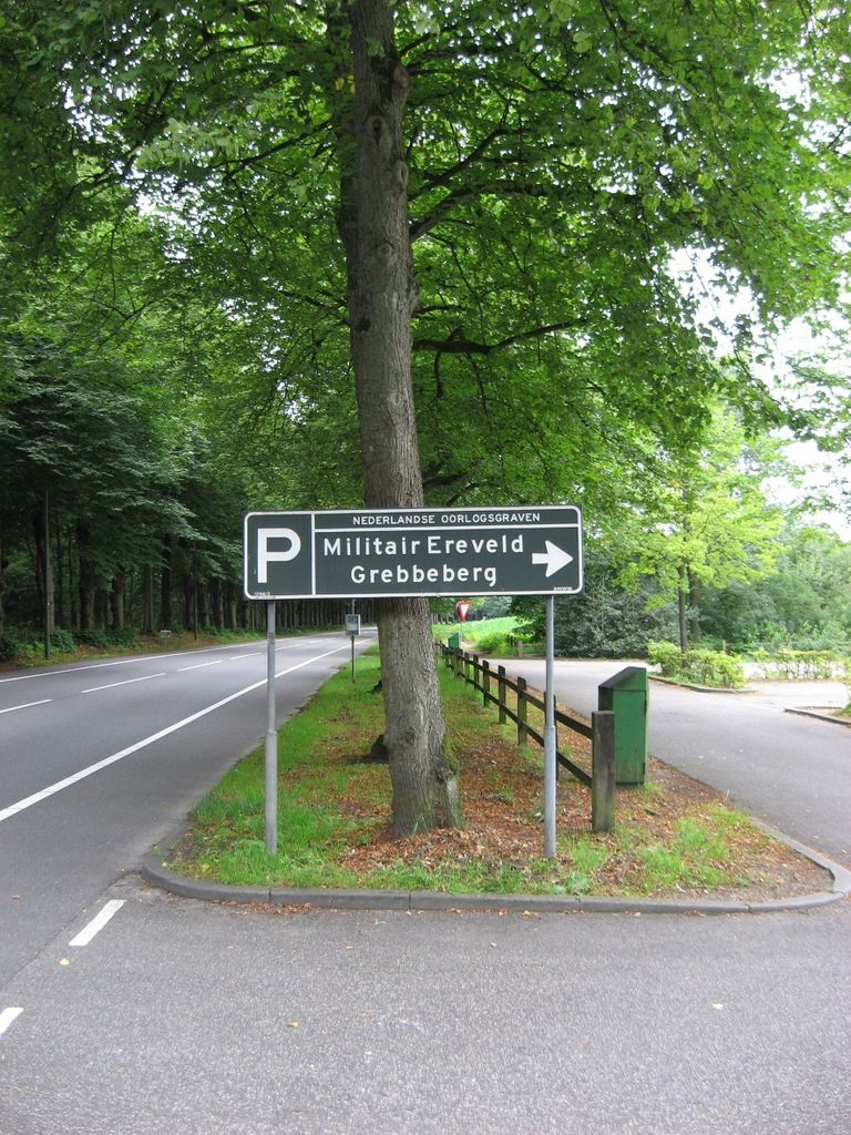
Militair Ereveld Grebbeberg is located at Grebbeweg 123 Rhenen, Rhenen Municipality ,Utrecht , 3911AVNetherlands.
-
Militair Ereveld Grebbeberg cemetery's updated grave count on graveviews.com?
0 memorials
-
Where are the coordinates of the Militair Ereveld Grebbeberg?
Latitude: 51.9556300
Longitude: 5.6004200


Nearby Cemetories:
1. Rhenen General Cemetery
Rhenen, Rhenen Municipality, Netherlands
Coordinate: 51.9614700, 5.5752200
2. Joodse Begraafplaats
Rhenen Municipality, Netherlands
Coordinate: 51.9660400, 5.5721300
3. Opheusden General Cemetery
Opheusden, Neder-Betuwe Municipality, Netherlands
Coordinate: 51.9322600, 5.6339800
4. Joodse Begraafplaats
Wageningen Municipality, Netherlands
Coordinate: 51.9668606, 5.6695901
5. Lienden General Cemetery
Lienden, Buren Municipality, Netherlands
Coordinate: 51.9513900, 5.5209200
6. Dodewaard General Cemetery
Dodewaard, Neder-Betuwe Municipality, Netherlands
Coordinate: 51.9103800, 5.6538200
7. Begraafplaats de Leeuwerenk
Wageningen, Wageningen Municipality, Netherlands
Coordinate: 51.9849600, 5.6806900
8. Bennekom Algemene Begraafplaats
Bennekom, Ede Municipality, Netherlands
Coordinate: 51.9983500, 5.6775500
9. Joodse Begraafplaats
Veenendaal Municipality, Netherlands
Coordinate: 52.0135700, 5.5543300
10. Elst General Cemetery
Elst, Rhenen Municipality, Netherlands
Coordinate: 51.9843400, 5.4978800
11. Begraafplaats Vluchtheuvelkerk Protestant
Zetten, Overbetuwe Municipality, Netherlands
Coordinate: 51.9315860, 5.7141320
12. Onder de Bomen Cemetery
Renkum, Renkum Municipality, Netherlands
Coordinate: 51.9714500, 5.7205500
13. Puiflijk Roman Catholic Cemetery
Puiflijk, Druten Municipality, Netherlands
Coordinate: 51.8788800, 5.5890700
14. De Munnikenhof Begraafplaats
Veenendaal, Veenendaal Municipality, Netherlands
Coordinate: 52.0339200, 5.5475300
15. Renkum Roman Catholic Cemetery
Renkum, Renkum Municipality, Netherlands
Coordinate: 51.9752800, 5.7375200
16. Oude Begraafplaats
Amerongen, Utrechtse Heuvelrug Municipality, Netherlands
Coordinate: 51.9989844, 5.4677837
17. Andelst Kerkhof
Andelst, Overbetuwe Municipality, Netherlands
Coordinate: 51.9057800, 5.7278200
18. Amerongen Holleweg General Cemetery
Amerongen, Utrechtse Heuvelrug Municipality, Netherlands
Coordinate: 52.0030000, 5.4665700
19. Heteren General Cemetery
Heteren, Overbetuwe Municipality, Netherlands
Coordinate: 51.9530900, 5.7574100
20. Paasberg Mausoleum
Ede, Ede Municipality, Netherlands
Coordinate: 52.0437800, 5.6786500
21. Maurik Roman Catholic Cemetery
Maurik, Buren Municipality, Netherlands
Coordinate: 51.9617100, 5.4302500
22. Bergharen Protestant Churchyard
Bergharen, Wijchen Municipality, Netherlands
Coordinate: 51.8480900, 5.6642300
23. Joodse Begraafplaats
Tiel Municipality, Netherlands
Coordinate: 51.8907220, 5.4324720
24. Tiel Roman Catholic Cemetery
Tiel, Tiel Municipality, Netherlands
Coordinate: 51.8919400, 5.4298300