
| Memorials | : | 1 |
| Location | : | Michie, McNairy County, USA |
| Coordinate | : | 35.0995510, -88.4230940 |
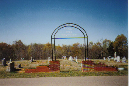
| Description | : | From the intersection of TN-224 N/Michie Pebble Hill Rd., travel north on TN-224 N/Michie Pebble Hill Rd. for 2.2 mi.; turning east (right) onto Chambers Store Rd., going 0.1 mi. to the cemetery on the north (left) side of the road. |
frequently asked questions (FAQ):
-
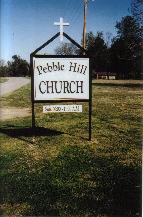
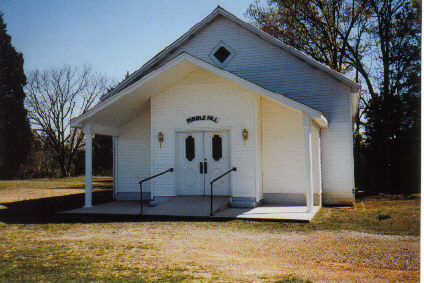
Where is Pebble Hill Church Cemetery?
Pebble Hill Church Cemetery is located at 2768 Chambers Store Road Pebble Hill, McNairy County ,Tennessee , 38357USA.
-
Pebble Hill Church Cemetery cemetery's updated grave count on graveviews.com?
1 memorials
-
Where are the coordinates of the Pebble Hill Church Cemetery?
Latitude: 35.0995510
Longitude: -88.4230940
Nearby Cemetories:
1. Brooks Family Cemetery
West Shiloh, McNairy County, USA
Coordinate: 35.1134000, -88.4027000
2. Chambers Family Cemetery
Pebble Hill, McNairy County, USA
Coordinate: 35.1019770, -88.3957180
3. Thacker Cemetery
West Shiloh, McNairy County, USA
Coordinate: 35.1191610, -88.4006070
4. Wardlow Cemetery
Michie, McNairy County, USA
Coordinate: 35.1005840, -88.4605110
5. Lebanon Cemetery
Michie, McNairy County, USA
Coordinate: 35.0820750, -88.3915260
6. Michie Church of God Cemetery
Michie, McNairy County, USA
Coordinate: 35.0680850, -88.4302370
7. Carter Cemetery
Michie, McNairy County, USA
Coordinate: 35.0661980, -88.4005650
8. Chamber Creek Cemetery
Michie, McNairy County, USA
Coordinate: 35.0787070, -88.3805370
9. Trinity Church Cemetery
Michie, McNairy County, USA
Coordinate: 35.0561890, -88.4222930
10. Sand Hill Church Cemetery
Michie, McNairy County, USA
Coordinate: 35.0939820, -88.4807960
11. Michie Cemetery
Michie, McNairy County, USA
Coordinate: 35.0539750, -88.4398920
12. Sanders Cemetery #3
Michie, McNairy County, USA
Coordinate: 35.0486090, -88.4381160
13. Mount Olive Cemetery
Michie, McNairy County, USA
Coordinate: 35.0453540, -88.3998220
14. West Shiloh Church Cemetery
West Shiloh, McNairy County, USA
Coordinate: 35.1495980, -88.3840980
15. Stantonville Cemetery
Stantonville, McNairy County, USA
Coordinate: 35.1585460, -88.4311860
16. Clear Creek Cemetery
Stantonville, McNairy County, USA
Coordinate: 35.1609250, -88.4066740
17. Erwin Cemetery
McNairy County, USA
Coordinate: 35.1483190, -88.4735440
18. Pleasant Site Church Cemetery
Stantonville, McNairy County, USA
Coordinate: 35.1248340, -88.4950890
19. Mount Zion Cemetery
Stantonville, McNairy County, USA
Coordinate: 35.1499480, -88.4779570
20. Spring Hill Cemetery
Selmer, McNairy County, USA
Coordinate: 35.1193700, -88.5061040
21. Beshears Cemetery
Hardin County, USA
Coordinate: 35.0494003, -88.3619003
22. Cobb Cemetery
Stantonville, McNairy County, USA
Coordinate: 35.1706640, -88.4320490
23. Jones Cemetery
Hardin County, USA
Coordinate: 35.1580010, -88.3654910
24. Smith Cemetery #2
Stantonville, McNairy County, USA
Coordinate: 35.1721010, -88.3894940