
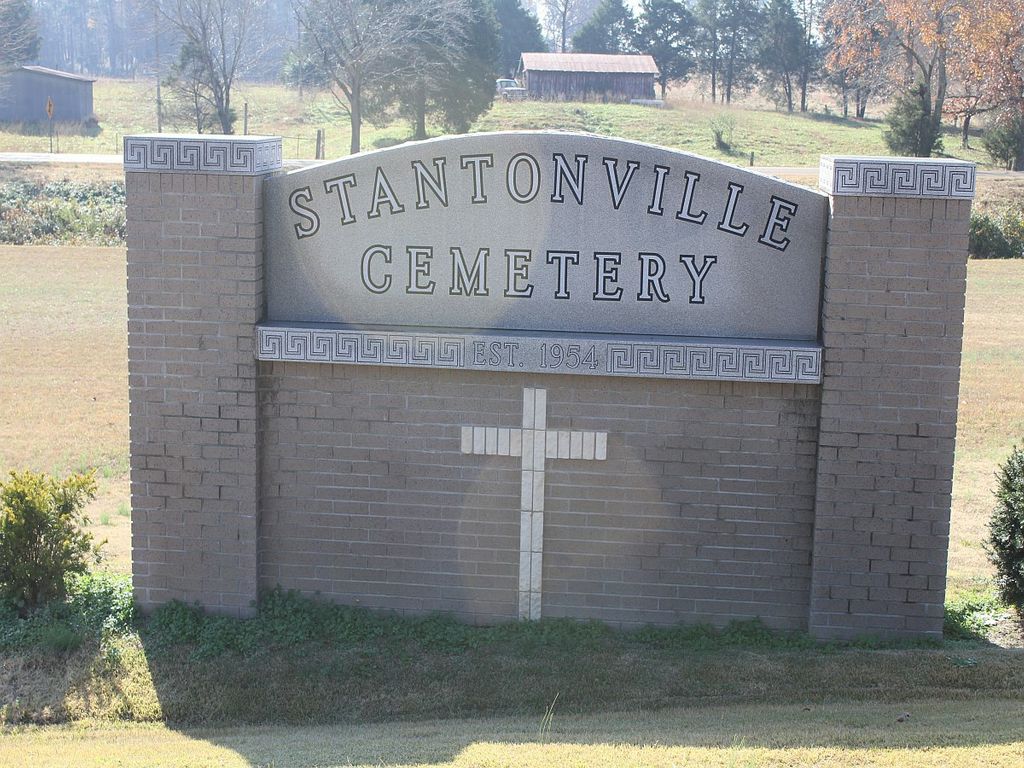
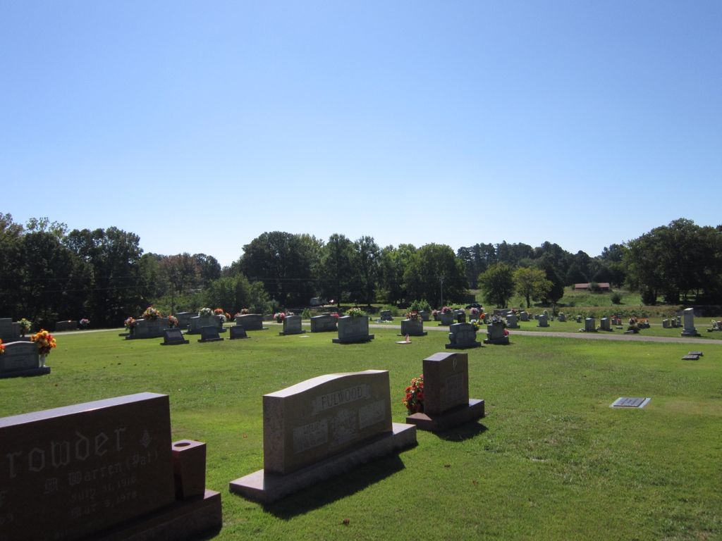
| Memorials | : | 1 |
| Location | : | Stantonville, McNairy County, USA |
| Coordinate | : | 35.1585460, -88.4311860 |
| Description | : | From the intersection of TN-142/TN-224 N, in Stantonville, travel west on TN-142/TN-224 N for 0.3 mi.; turning north (right) on the long entrance driveway to this large cemetery. |
frequently asked questions (FAQ):
-
Where is Stantonville Cemetery?
Stantonville Cemetery is located at 8032 TN-142 Stantonville, McNairy County ,Tennessee , 38379USA.
-
Stantonville Cemetery cemetery's updated grave count on graveviews.com?
1 memorials
-
Where are the coordinates of the Stantonville Cemetery?
Latitude: 35.1585460
Longitude: -88.4311860
Nearby Cemetories:
1. Cobb Cemetery
Stantonville, McNairy County, USA
Coordinate: 35.1706640, -88.4320490
2. Clear Creek Cemetery
Stantonville, McNairy County, USA
Coordinate: 35.1609250, -88.4066740
3. McKenzie Cemetery
Stantonville, McNairy County, USA
Coordinate: 35.1788640, -88.4397660
4. Emmanuel Tabernacle Church Cemetery
Stantonville, McNairy County, USA
Coordinate: 35.1843910, -88.4190730
5. Meeks Grove Church Cemetery
Stantonville, McNairy County, USA
Coordinate: 35.1836930, -88.4138630
6. Erwin Cemetery
McNairy County, USA
Coordinate: 35.1483190, -88.4735440
7. Smith Cemetery #2
Stantonville, McNairy County, USA
Coordinate: 35.1721010, -88.3894940
8. Mount Zion Cemetery
Stantonville, McNairy County, USA
Coordinate: 35.1499480, -88.4779570
9. West Shiloh Church Cemetery
West Shiloh, McNairy County, USA
Coordinate: 35.1495980, -88.3840980
10. Mount Vinson Methodist Church Cemetery
Stantonville, McNairy County, USA
Coordinate: 35.1890270, -88.3966700
11. Sanders Cemetery #4
Stantonville, McNairy County, USA
Coordinate: 35.1793350, -88.4793370
12. Thacker Cemetery
West Shiloh, McNairy County, USA
Coordinate: 35.1191610, -88.4006070
13. Pounds Cemetery
Stantonville, McNairy County, USA
Coordinate: 35.1889630, -88.4763830
14. Sanders Cemetery #1
Adamsville, McNairy County, USA
Coordinate: 35.2060110, -88.4220870
15. Fink Cemetery
Purdy, McNairy County, USA
Coordinate: 35.1898540, -88.4780670
16. Brooks Family Cemetery
West Shiloh, McNairy County, USA
Coordinate: 35.1134000, -88.4027000
17. Gilchrist Cemetery
Adamsville, McNairy County, USA
Coordinate: 35.2110200, -88.4221320
18. Jones Cemetery
Hardin County, USA
Coordinate: 35.1580010, -88.3654910
19. Clear Creek Church Cemetery
New Lawton, McNairy County, USA
Coordinate: 35.2059380, -88.4723690
20. Pebble Hill Church Cemetery
Michie, McNairy County, USA
Coordinate: 35.0995510, -88.4230940
21. Prospect Church Cemetery
Selmer, McNairy County, USA
Coordinate: 35.1453460, -88.5053200
22. Pleasant Site Church Cemetery
Stantonville, McNairy County, USA
Coordinate: 35.1248340, -88.4950890
23. Wardlow Cemetery
Michie, McNairy County, USA
Coordinate: 35.1005840, -88.4605110
24. Union Grove Church Cemetery
Selmer, McNairy County, USA
Coordinate: 35.1463330, -88.5071040