
| Memorials | : | 1 |
| Location | : | West Shiloh, McNairy County, USA |
| Coordinate | : | 35.1495980, -88.3840980 |
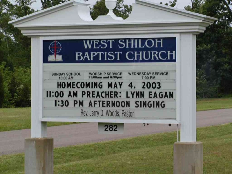
| Description | : | From the intersection of TN-117 N & TN-142 W, east of Stantonville, travel north on TN-117 for 0.1 mi.; turning west (left) onto W Shiloh Church Rd., going 0.1 mi., passing the West Shiloh Baptist Church; turning north (right) into the driveway of the cemetery, adjacent to the church. |
frequently asked questions (FAQ):
-
Where is West Shiloh Church Cemetery?
West Shiloh Church Cemetery is located at W Shiloh Church Road West Shiloh, McNairy County ,Tennessee , 38379USA.
-
West Shiloh Church Cemetery cemetery's updated grave count on graveviews.com?
1 memorials
-
Where are the coordinates of the West Shiloh Church Cemetery?
Latitude: 35.1495980
Longitude: -88.3840980
Nearby Cemetories:
1. Jones Cemetery
Hardin County, USA
Coordinate: 35.1580010, -88.3654910
2. Clear Creek Cemetery
Stantonville, McNairy County, USA
Coordinate: 35.1609250, -88.4066740
3. Smith Cemetery #2
Stantonville, McNairy County, USA
Coordinate: 35.1721010, -88.3894940
4. Thacker Cemetery
West Shiloh, McNairy County, USA
Coordinate: 35.1191610, -88.4006070
5. Brooks Family Cemetery
West Shiloh, McNairy County, USA
Coordinate: 35.1134000, -88.4027000
6. Stantonville Cemetery
Stantonville, McNairy County, USA
Coordinate: 35.1585460, -88.4311860
7. Mount Vinson Methodist Church Cemetery
Stantonville, McNairy County, USA
Coordinate: 35.1890270, -88.3966700
8. Meeks Grove Church Cemetery
Stantonville, McNairy County, USA
Coordinate: 35.1836930, -88.4138630
9. Cobb Cemetery
Stantonville, McNairy County, USA
Coordinate: 35.1706640, -88.4320490
10. Emmanuel Tabernacle Church Cemetery
Stantonville, McNairy County, USA
Coordinate: 35.1843910, -88.4190730
11. Chambers Family Cemetery
Pebble Hill, McNairy County, USA
Coordinate: 35.1019770, -88.3957180
12. McKenzie Cemetery
Stantonville, McNairy County, USA
Coordinate: 35.1788640, -88.4397660
13. Pebble Hill Church Cemetery
Michie, McNairy County, USA
Coordinate: 35.0995510, -88.4230940
14. Sanders Cemetery #1
Adamsville, McNairy County, USA
Coordinate: 35.2060110, -88.4220870
15. McWhirter Cemetery
Adamsville, McNairy County, USA
Coordinate: 35.2170830, -88.3807520
16. Lebanon Cemetery
Michie, McNairy County, USA
Coordinate: 35.0820750, -88.3915260
17. Gilchrist Cemetery
Adamsville, McNairy County, USA
Coordinate: 35.2110200, -88.4221320
18. Chamber Creek Cemetery
Michie, McNairy County, USA
Coordinate: 35.0787070, -88.3805370
19. Dollar Cemetery
Hardin County, USA
Coordinate: 35.1982994, -88.3197021
20. Erwin Cemetery
McNairy County, USA
Coordinate: 35.1483190, -88.4735440
21. Mount Zion Cemetery
Stantonville, McNairy County, USA
Coordinate: 35.1499480, -88.4779570
22. Overbrook Church Cemetery
Crump, Hardin County, USA
Coordinate: 35.2257370, -88.3671610
23. Wardlow Cemetery
Michie, McNairy County, USA
Coordinate: 35.1005840, -88.4605110
24. Perkins Cemetery
Crump, Hardin County, USA
Coordinate: 35.2216850, -88.3417640