
| Memorials | : | 91 |
| Location | : | Woodsfield, Monroe County, USA |
| Coordinate | : | 39.7647018, -81.1175003 |
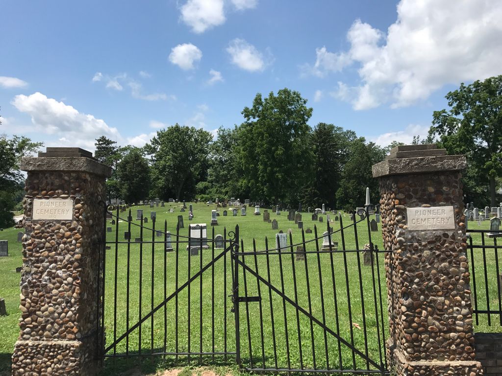
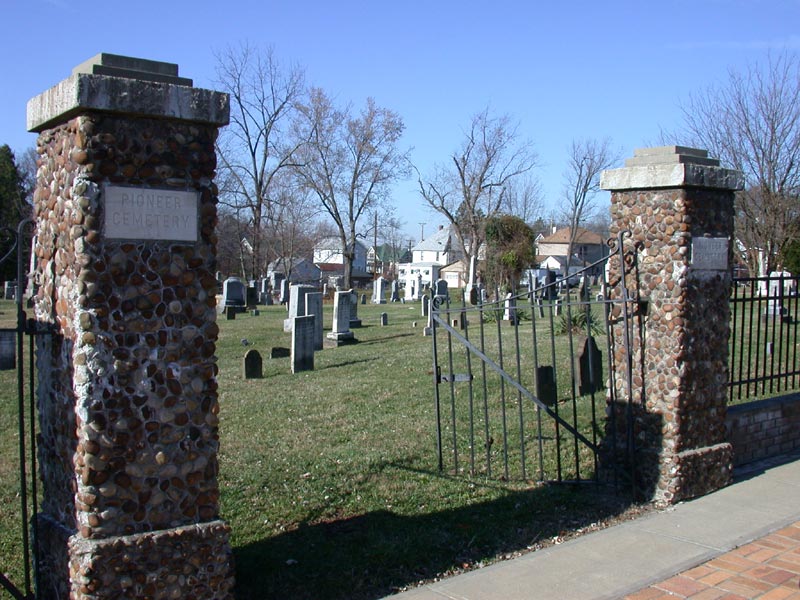
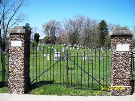
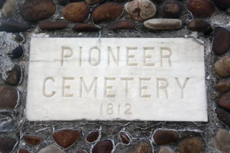
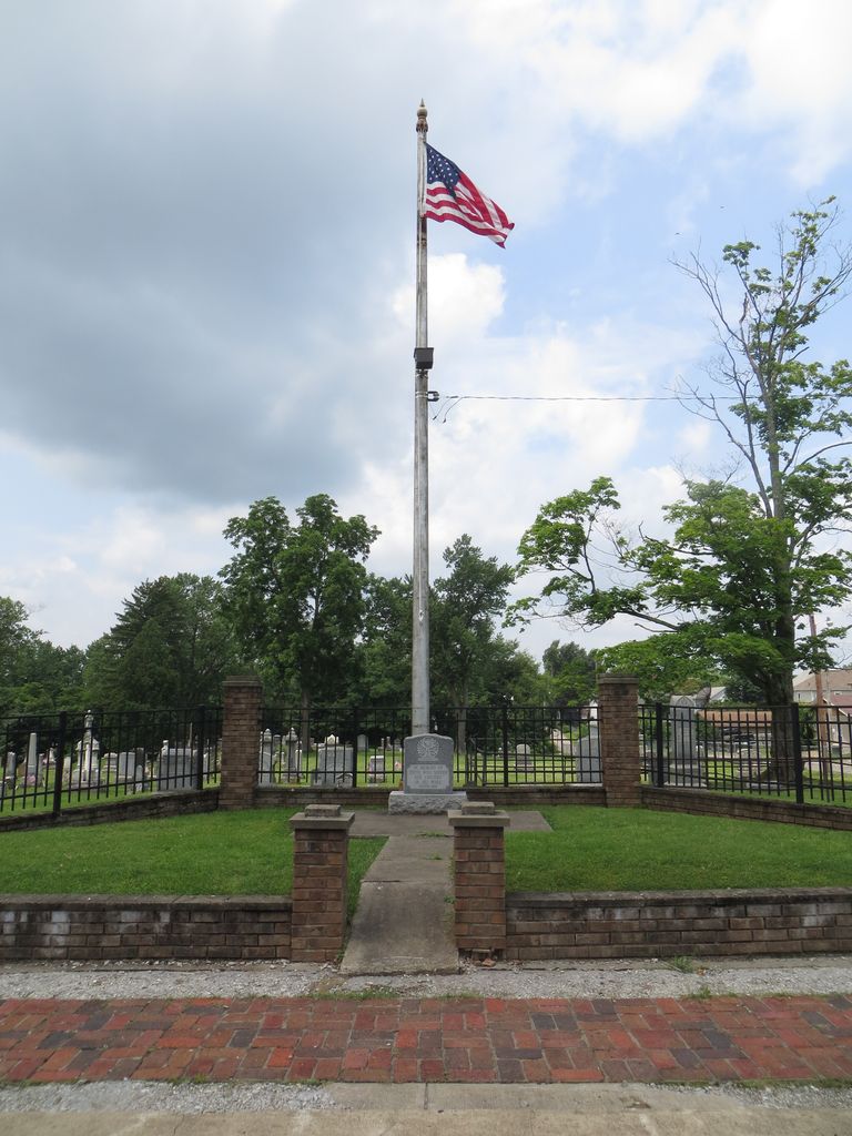
| Description | : | The cemetery is located on the west side of North Sycamore Street about 300 feet south of its intersection with Oaklawn Avenue. The cemetery was established in 1812 and is 3.41 acres in size. The cemetery is located in Center Township, Monroe County, Ohio, and is # 8080 (Pioneer Cemetery) in “Ohio Cemeteries 1803-2003”, compiled by the Ohio Genealogical Society. The cemetery is registered with the Ohio Division of Real Estate and Professional Licensing (ODRE) as Pioneer Cemetery with registration license number CGR.2010000030. The U.S. Geological Survey (USGS) Geographic Names Information System (GNIS) feature ID for the cemetery is... Read More |
frequently asked questions (FAQ):
-
Where is Pioneer Cemetery?
Pioneer Cemetery is located at North Sycamore Street Woodsfield, Monroe County ,Ohio , 43793USA.
-
Pioneer Cemetery cemetery's updated grave count on graveviews.com?
90 memorials
-
Where are the coordinates of the Pioneer Cemetery?
Latitude: 39.7647018
Longitude: -81.1175003
Nearby Cemetories:
1. Oaklawn Cemetery
Woodsfield, Monroe County, USA
Coordinate: 39.7663994, -81.1232986
2. Saint Sylvester Catholic Church Cemetery
Woodsfield, Monroe County, USA
Coordinate: 39.7564621, -81.1176071
3. McGrary Cemetery
Woodsfield, Monroe County, USA
Coordinate: 39.7585983, -81.1299973
4. County Home Cemetery
Center Township, Monroe County, USA
Coordinate: 39.7806970, -81.1141560
5. Hope Ridge Cemetery
Monroe County, USA
Coordinate: 39.7902985, -81.1235962
6. Valley Cemetery
Woodsfield, Monroe County, USA
Coordinate: 39.7464700, -81.1426520
7. Neuhart Cemetery
Woodsfield, Monroe County, USA
Coordinate: 39.7462000, -81.0828000
8. Steed Cemetery
Monroe County, USA
Coordinate: 39.7314000, -81.1197000
9. Baker Cemetery
Woodsfield, Monroe County, USA
Coordinate: 39.7313250, -81.1196140
10. Cooper Cemetery
Monroe County, USA
Coordinate: 39.7994003, -81.1207962
11. Moose Ridge Cemetery
Monroe County, USA
Coordinate: 39.7430992, -81.1544037
12. Potts Cemetery
Monroe County, USA
Coordinate: 39.7588997, -81.1652985
13. Moffett Cemetery
Woodsfield, Monroe County, USA
Coordinate: 39.7228508, -81.0978851
14. Gillespie Cemetery
Monroe County, USA
Coordinate: 39.7528000, -81.0571976
15. Buchanan Presbyterian Church Cemetery
Summit Township, Monroe County, USA
Coordinate: 39.7678490, -81.1798325
16. Mount Carrick Cemetery
Mount Carrick, Monroe County, USA
Coordinate: 39.7494011, -81.0539017
17. Fairview Cemetery
Center Township, Monroe County, USA
Coordinate: 39.7139015, -81.1014023
18. Eggar Ridge Cemetery
Monroe County, USA
Coordinate: 39.8005981, -81.1671982
19. Immaculate Conception Roman Catholic Cemetery
Ozark, Monroe County, USA
Coordinate: 39.8135796, -81.0824509
20. Mount Zion Church of Christ Cemetery
Woodsfield, Monroe County, USA
Coordinate: 39.7847300, -81.0468100
21. Goudy Cemetery
Woodsfield, Monroe County, USA
Coordinate: 39.7503014, -81.0436020
22. Barber Ridge Cemetery
Wayne Township, Monroe County, USA
Coordinate: 39.7313995, -81.1819000
23. Grove Cemetery
Ozark, Monroe County, USA
Coordinate: 39.8025700, -81.0517700
24. Ozark Cemetery
Ozark, Monroe County, USA
Coordinate: 39.8242400, -81.0812200