| Memorials | : | 0 |
| Location | : | Wicklow, Carleton County, Canada |
| Coordinate | : | 46.5437840, -67.6802360 |
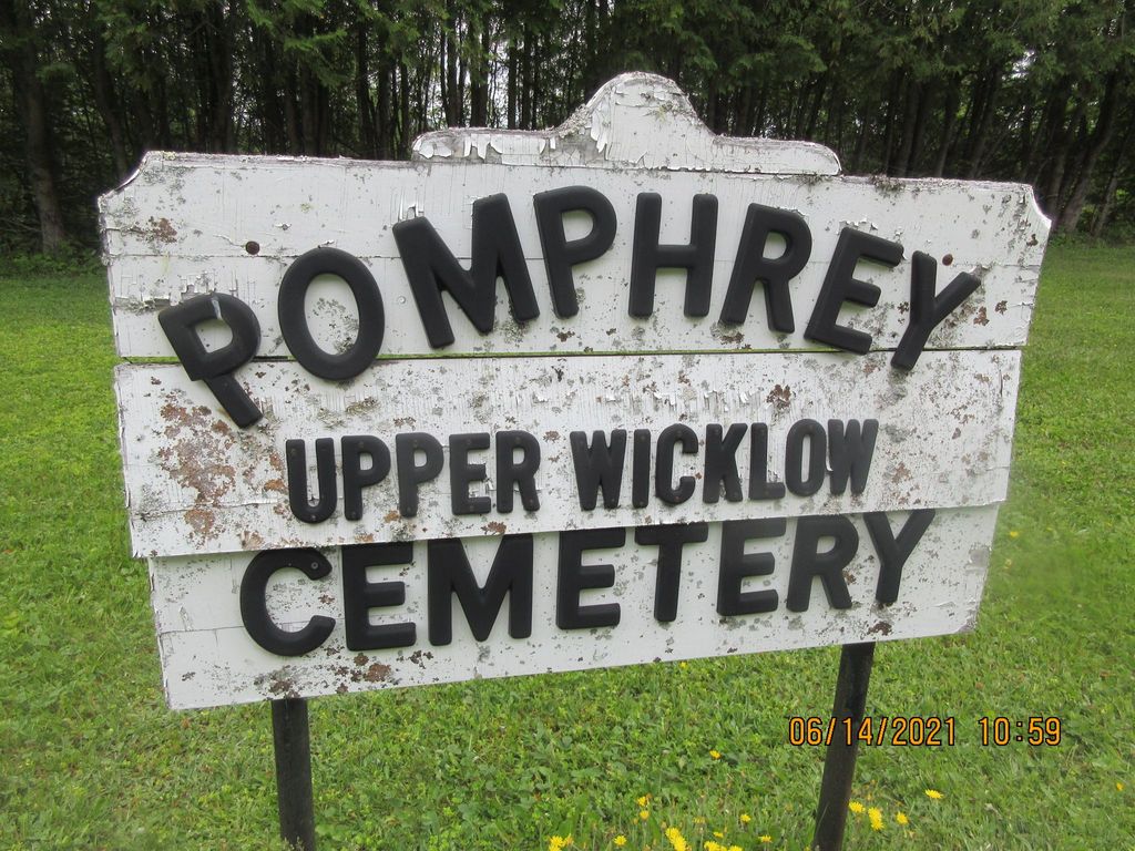
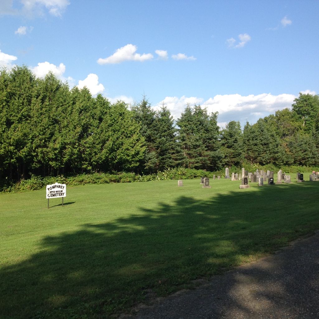
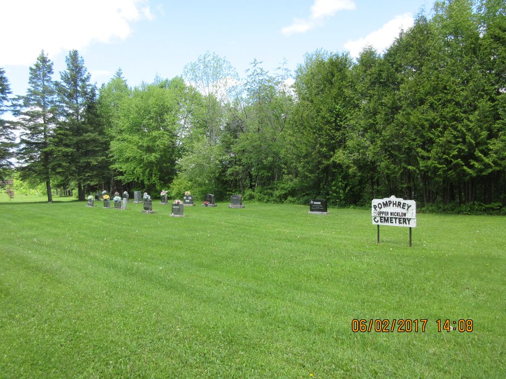
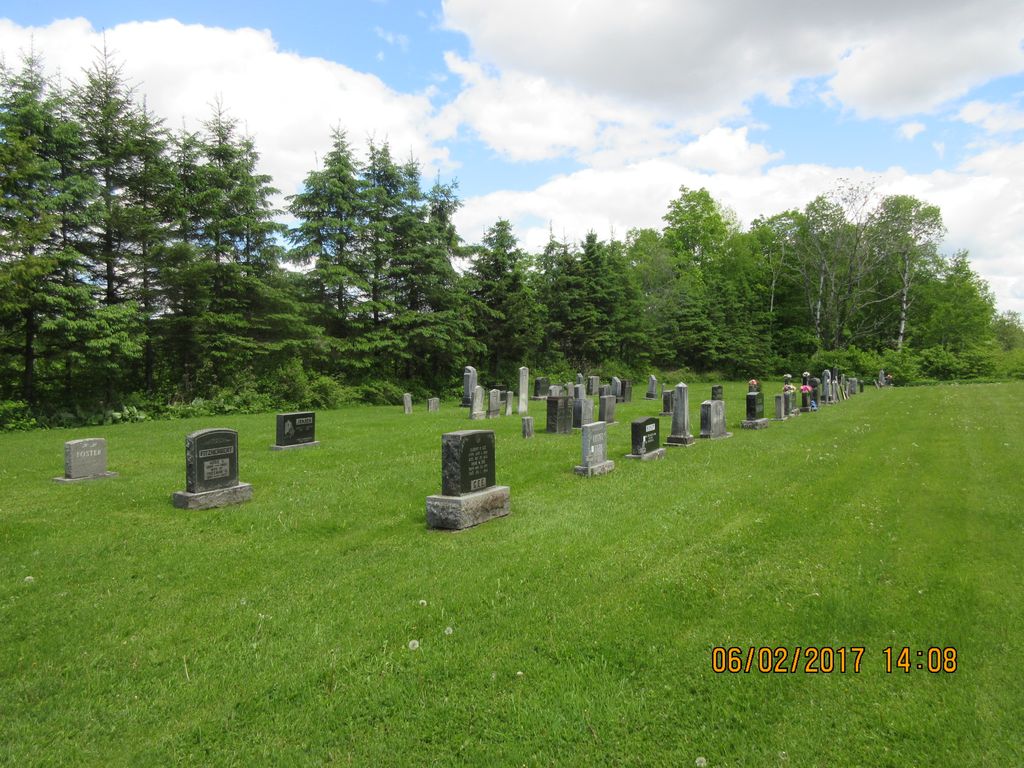
| Description | : | This was the site of the Upper Wicklow Baptist Church. The church sat approximately where the cemetery sign is today and that is why there is a gap between the two sides of the cemetery. The graveyard is very close to the Beechwood Hydro Electric Dam and there is oral history that several bodies were re-interred here before the flooding of the headpond. There are several names that have been used to describe this cemetery. The two most common in 2020 are Pomphrey Cemetery and Upper Wicklow Cemetery. Other older variations to be aware... Read More |
frequently asked questions (FAQ):
-
Where is Pomphrey Cemetery?
Pomphrey Cemetery is located at Dam Road Wicklow, Carleton County ,New Brunswick , E7L 0A8Canada.
-
Pomphrey Cemetery cemetery's updated grave count on graveviews.com?
0 memorials
-
Where are the coordinates of the Pomphrey Cemetery?
Latitude: 46.5437840
Longitude: -67.6802360
Nearby Cemetories:
1. Beechwood United Baptist Cemetery
Beechwood, Carleton County, Canada
Coordinate: 46.5433300, -67.6625000
2. Wharton Cemetery
Upper Kent, Carleton County, Canada
Coordinate: 46.5583300, -67.7011100
3. Summerfield Cemetery
Wicklow, Carleton County, Canada
Coordinate: 46.5249990, -67.7083540
4. Pomphrey Island Cemetery
Clearview, Carleton County, Canada
Coordinate: 46.5637693, -67.7153083
5. Taylor Cemetery
Piercemont, Carleton County, Canada
Coordinate: 46.5548580, -67.6317020
6. Currie Cemetery
Bath, Carleton County, Canada
Coordinate: 46.5293370, -67.6286000
7. St Bartholomew Catholic Cemetery
Clearview, Carleton County, Canada
Coordinate: 46.5730900, -67.7196300
8. Hawthorne Cemetery
Upper Kent, Carleton County, Canada
Coordinate: 46.5833177, -67.7179017
9. Gee Flat Cemetery
Bath, Carleton County, Canada
Coordinate: 46.5213340, -67.6162040
10. Upper Knoxford Cemetery
Upper Knoxford, Carleton County, Canada
Coordinate: 46.5205700, -67.7492700
11. Greenfield Anglican Cemetery
Greenfield, Carleton County, Canada
Coordinate: 46.4900710, -67.6862390
12. Buckley Cemetery
Holmesville, Carleton County, Canada
Coordinate: 46.5781683, -67.6194186
13. Moose Mountain Pioneer Cemetery
Moose Mountain, Carleton County, Canada
Coordinate: 46.6007340, -67.6610030
14. Pine Tree Cemetery
Bath, Carleton County, Canada
Coordinate: 46.5164370, -67.6046100
15. Free Will Baptist Church Cemetery
Holmesville, Carleton County, Canada
Coordinate: 46.5748720, -67.6033510
16. Lower Knoxford Cemetery
Knoxford, Carleton County, Canada
Coordinate: 46.4906400, -67.7368900
17. Barker Cemetery
Bath, Carleton County, Canada
Coordinate: 46.5102780, -67.5961110
18. River de Chute Cemetery
Carleton County, Canada
Coordinate: 46.5935500, -67.7500700
19. Middle Greenfield Cemetery
Wicklow, Carleton County, Canada
Coordinate: 46.4711250, -67.6328790
20. Mineral Cemetery
Kent, Carleton County, Canada
Coordinate: 46.5918753, -67.5843827
21. Pioneer Cemetery
Wicklow, Carleton County, Canada
Coordinate: 46.4678970, -67.6316370
22. Lower Wicklow Cemetery
Wicklow, Carleton County, Canada
Coordinate: 46.4916000, -67.5862200
23. Bairdsville Anglican Cemetery
Bairdsville, Victoria County, Canada
Coordinate: 46.6269606, -67.7164698
24. Royalton Cemetery
Wicklow, Carleton County, Canada
Coordinate: 46.4820030, -67.7707210

