
| Memorials | : | 15 |
| Location | : | Conway, Carroll County, USA |
| Coordinate | : | 43.9490000, -71.0523000 |
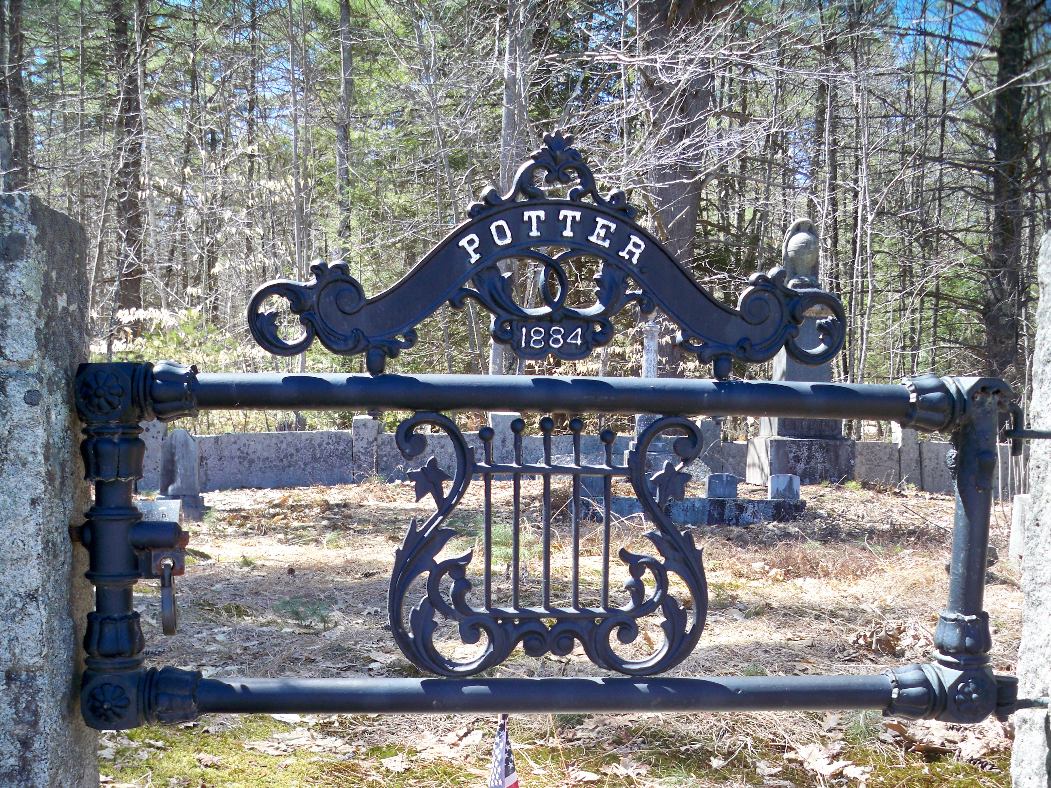
| Description | : | From its intersection with Brownfield Road, drive south on Potter Road 1.4 miles. The cemetery, surrounded by split granite walls, is located on the right (west) side of the road. |
frequently asked questions (FAQ):
-
Where is Potter Cemetery?
Potter Cemetery is located at Conway, Carroll County ,New Hampshire ,USA.
-
Potter Cemetery cemetery's updated grave count on graveviews.com?
15 memorials
-
Where are the coordinates of the Potter Cemetery?
Latitude: 43.9490000
Longitude: -71.0523000
Nearby Cemetories:
1. Bean-West Cemetery
Wentworth Location, Coos County, USA
Coordinate: 43.9472220, -71.0280560
2. Jones Cemetery
Eaton, Carroll County, USA
Coordinate: 43.9310600, -71.0595400
3. Keith Gravesite
Eaton, Carroll County, USA
Coordinate: 43.9579400, -71.0791500
4. Sterling Cemetery
Conway, Carroll County, USA
Coordinate: 43.9563000, -71.0242000
5. Stark Road Cemetery
Conway, Carroll County, USA
Coordinate: 43.9580560, -71.0855560
6. Littlefield-Bean Cemetery
Eaton Center, Carroll County, USA
Coordinate: 43.9205560, -71.0372220
7. Dolloff
Conway, Carroll County, USA
Coordinate: 43.9443525, -71.0954582
8. Thompson-Stuart Cemetery
Eaton, Carroll County, USA
Coordinate: 43.9221000, -71.0274000
9. Davis Hill Cemetery
Conway, Carroll County, USA
Coordinate: 43.9727700, -71.0214000
10. Bachelder Cemetery
Eaton, Carroll County, USA
Coordinate: 43.9140200, -71.0643600
11. Drew Family Cemetery
Conway, Carroll County, USA
Coordinate: 43.9374280, -71.0999050
12. Snowville Cemetery
Eaton Center, Carroll County, USA
Coordinate: 43.9109250, -71.0617630
13. Hatch Perkins Cemetery
Eaton Center, Carroll County, USA
Coordinate: 43.9181000, -71.0170000
14. Garland Cemetery
Eaton, Carroll County, USA
Coordinate: 43.9111500, -71.0320300
15. Gray Gravesite
Eaton Center, Carroll County, USA
Coordinate: 43.9227780, -71.0058330
16. Allard Cemetery
Madison, Carroll County, USA
Coordinate: 43.9405910, -71.1113150
17. Eaton Center Cemetery
Eaton Center, Carroll County, USA
Coordinate: 43.9087000, -71.0801000
18. Center Conway Cemetery
Center Conway, Carroll County, USA
Coordinate: 43.9939700, -71.0546100
19. Drew-Kenneson Cemetery
Eaton Center, Carroll County, USA
Coordinate: 43.9038890, -71.0572220
20. Perkins Cemetery
Eaton, Carroll County, USA
Coordinate: 43.9115300, -71.0160000
21. Glines Hill Cemetery
Eaton, Carroll County, USA
Coordinate: 43.9105500, -71.0889300
22. Sawyer-Drew Cemetery
Eaton Center, Carroll County, USA
Coordinate: 43.9022200, -71.0453300
23. Dennett Cemetery
Brownfield, Oxford County, USA
Coordinate: 43.9289700, -70.9931000
24. Frank Hart Cemetery
Eaton Center, Carroll County, USA
Coordinate: 43.9145100, -71.0039600