
| Memorials | : | 0 |
| Location | : | Purdy, McNairy County, USA |
| Coordinate | : | 35.2343230, -88.5341050 |
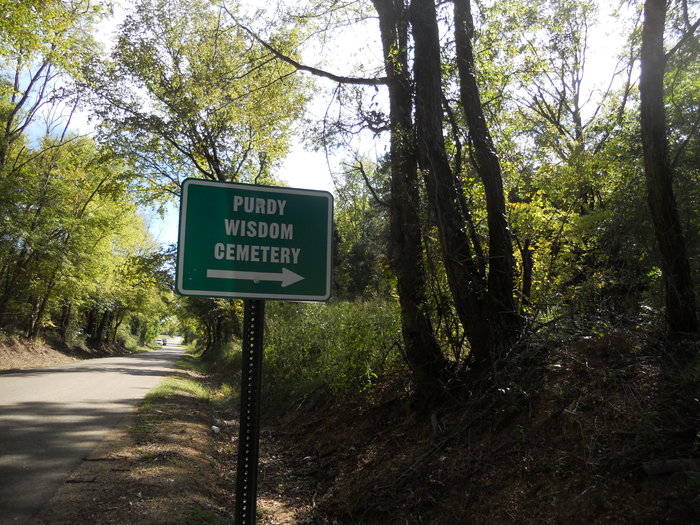
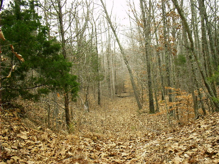
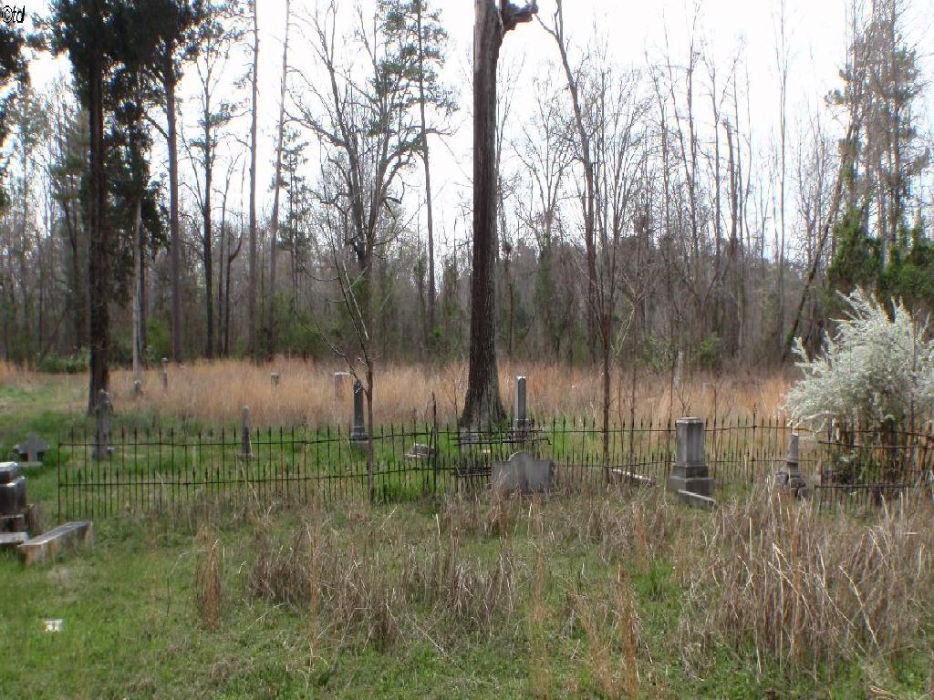
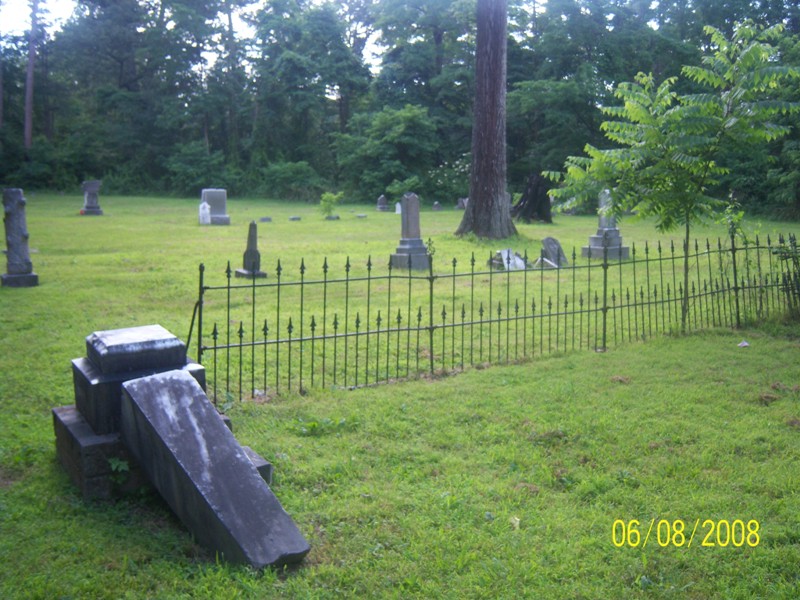
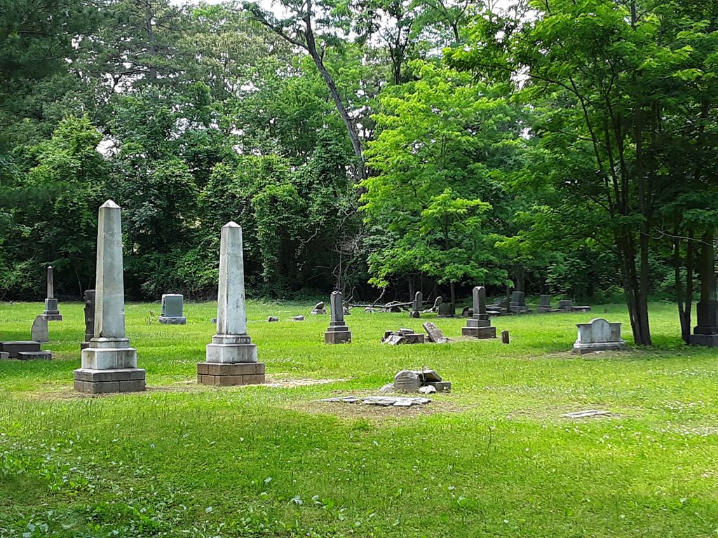
| Description | : | From the intersection of Airport Rd. & US-64, east of Semer, travel north on Airport Rd. for 3.1 mi.; turning north onto Gann Rd., going 0.8 mi.; turning north (right) onto Purdy-Beauty Hill Rd., going 0.2 mi., turning west (left) onto the gravel lane that leads about 500 ft. to the small parking area of this cemetery, dating from about 1838. |
frequently asked questions (FAQ):
-
Where is Purdy Wisdom Cemetery?
Purdy Wisdom Cemetery is located at 59 Purdy-Beauty Hill Road Purdy, McNairy County ,Tennessee ,USA.
-
Purdy Wisdom Cemetery cemetery's updated grave count on graveviews.com?
0 memorials
-
Where are the coordinates of the Purdy Wisdom Cemetery?
Latitude: 35.2343230
Longitude: -88.5341050
Nearby Cemetories:
1. Purdy Wright Cemetery
Purdy, McNairy County, USA
Coordinate: 35.2306570, -88.5403730
2. Brooks Cemetery
Purdy, McNairy County, USA
Coordinate: 35.2082660, -88.5330580
3. Chapel Hill Cemetery
Bethel Springs, McNairy County, USA
Coordinate: 35.2373190, -88.5663610
4. Beauty Hill Church Cemetery
Purdy, McNairy County, USA
Coordinate: 35.2621840, -88.5426830
5. Dunn Cemetery
Bethel Springs, McNairy County, USA
Coordinate: 35.2666290, -88.5355270
6. Good Hope Cemetery
Adamsville, McNairy County, USA
Coordinate: 35.2552986, -88.4888992
7. Bethesda Memorial Gardens
Selmer, McNairy County, USA
Coordinate: 35.1988880, -88.5709240
8. Brackin Cemetery
Old Lawton, McNairy County, USA
Coordinate: 35.2299480, -88.4748610
9. Rose Hill Cemetery
Forty Forks, McNairy County, USA
Coordinate: 35.2673800, -88.5787980
10. Union Grove East Cemetery
Adamsville, McNairy County, USA
Coordinate: 35.2491989, -88.4719009
11. Sanders Cemetery #2
Old Lawton, McNairy County, USA
Coordinate: 35.2137200, -88.4724260
12. Wharton Cemetery
Purdy, McNairy County, USA
Coordinate: 35.2898140, -88.5192220
13. Poor Farm Cemetery
McNairy County, USA
Coordinate: 35.1802990, -88.5564760
14. Liberty Church Cemetery
Forty Forks, McNairy County, USA
Coordinate: 35.2770890, -88.5806060
15. Clear Creek Church Cemetery
New Lawton, McNairy County, USA
Coordinate: 35.2059380, -88.4723690
16. Bethel Springs Cemetery
Bethel Springs, McNairy County, USA
Coordinate: 35.2332380, -88.6066780
17. Lake Hill Memory Gardens
Bethel Springs, McNairy County, USA
Coordinate: 35.2169810, -88.6048380
18. Warren Cemetery
Selmer, McNairy County, USA
Coordinate: 35.1775480, -88.5603820
19. Beaty Cemetery
Forty Forks, McNairy County, USA
Coordinate: 35.2901030, -88.5676270
20. Motley Family Cemetery
Bethel Springs, McNairy County, USA
Coordinate: 35.2294220, -88.6108090
21. Fink Cemetery
Purdy, McNairy County, USA
Coordinate: 35.1898540, -88.4780670
22. Pounds Cemetery
Stantonville, McNairy County, USA
Coordinate: 35.1889630, -88.4763830
23. Mount Zion MB Church Cemetery
Selmer, McNairy County, USA
Coordinate: 35.1730920, -88.5710370
24. Sanders Cemetery #4
Stantonville, McNairy County, USA
Coordinate: 35.1793350, -88.4793370