
| Memorials | : | 0 |
| Location | : | Purdy, McNairy County, USA |
| Coordinate | : | 35.2621840, -88.5426830 |
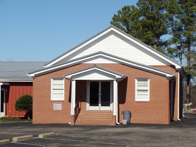
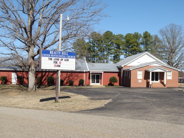
| Description | : | From the intersection of Limon Gage Rd. & Otis Plunk Rd., NE of Bethel Springs, travel east on Limon Gage Rd. for 3.8 mi. to the cemetery on the east (left) side of the road & on the north side of the Beauty Hill U. Pentecostal Church, in Beauty Hill. |
frequently asked questions (FAQ):
-
Where is Beauty Hill Church Cemetery?
Beauty Hill Church Cemetery is located at 111 Beauty Hill Road Purdy, McNairy County ,Tennessee ,USA.
-
Beauty Hill Church Cemetery cemetery's updated grave count on graveviews.com?
0 memorials
-
Where are the coordinates of the Beauty Hill Church Cemetery?
Latitude: 35.2621840
Longitude: -88.5426830
Nearby Cemetories:
1. Dunn Cemetery
Bethel Springs, McNairy County, USA
Coordinate: 35.2666290, -88.5355270
2. Purdy Wisdom Cemetery
Purdy, McNairy County, USA
Coordinate: 35.2343230, -88.5341050
3. Rose Hill Cemetery
Forty Forks, McNairy County, USA
Coordinate: 35.2673800, -88.5787980
4. Chapel Hill Cemetery
Bethel Springs, McNairy County, USA
Coordinate: 35.2373190, -88.5663610
5. Purdy Wright Cemetery
Purdy, McNairy County, USA
Coordinate: 35.2306570, -88.5403730
6. Wharton Cemetery
Purdy, McNairy County, USA
Coordinate: 35.2898140, -88.5192220
7. Liberty Church Cemetery
Forty Forks, McNairy County, USA
Coordinate: 35.2770890, -88.5806060
8. Beaty Cemetery
Forty Forks, McNairy County, USA
Coordinate: 35.2901030, -88.5676270
9. Good Hope Cemetery
Adamsville, McNairy County, USA
Coordinate: 35.2552986, -88.4888992
10. Alexander Cemetery
Finger, McNairy County, USA
Coordinate: 35.3029830, -88.5120090
11. Brooks Cemetery
Purdy, McNairy County, USA
Coordinate: 35.2082660, -88.5330580
12. Hendrix Cemetery
Finger, McNairy County, USA
Coordinate: 35.3189590, -88.5338280
13. Union Grove East Cemetery
Adamsville, McNairy County, USA
Coordinate: 35.2491989, -88.4719009
14. Bethel Springs Cemetery
Bethel Springs, McNairy County, USA
Coordinate: 35.2332380, -88.6066780
15. Brackin Cemetery
Old Lawton, McNairy County, USA
Coordinate: 35.2299480, -88.4748610
16. Motley Family Cemetery
Bethel Springs, McNairy County, USA
Coordinate: 35.2294220, -88.6108090
17. Bethesda Memorial Gardens
Selmer, McNairy County, USA
Coordinate: 35.1988880, -88.5709240
18. Lake Hill Memory Gardens
Bethel Springs, McNairy County, USA
Coordinate: 35.2169810, -88.6048380
19. Ingraham Cemetery
Finger, McNairy County, USA
Coordinate: 35.3266150, -88.5151560
20. Maggie Jones United Methodist Church Cemetery
Finger, McNairy County, USA
Coordinate: 35.3291700, -88.5166300
21. Lanes Chapel Cemetery
Finger, McNairy County, USA
Coordinate: 35.3312510, -88.5639110
22. Blakeley Cemetery
Adamsville, McNairy County, USA
Coordinate: 35.3156050, -88.4795500
23. Mars Hill Cemetery
Adamsville, McNairy County, USA
Coordinate: 35.2954310, -88.4607290
24. Chambers Chapel Cemetery
McNairy, McNairy County, USA
Coordinate: 35.3044180, -88.6185380