
| Memorials | : | 0 |
| Location | : | Mobberley, Cheshire East Unitary Authority, England |
| Coordinate | : | 53.3174300, -2.2872500 |
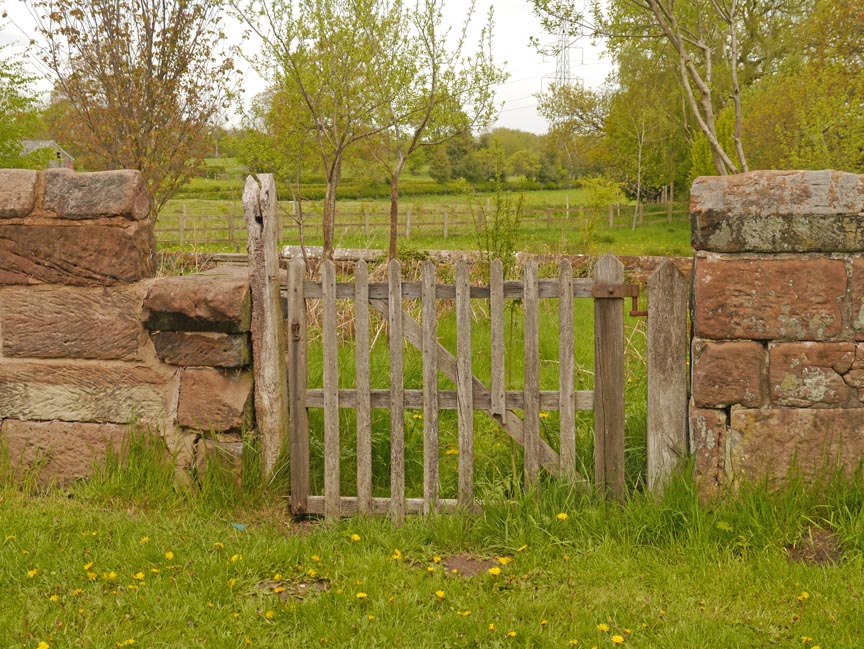
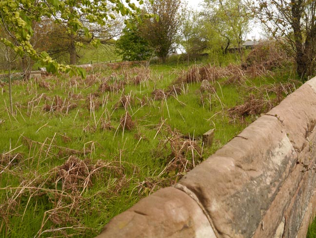
| Description | : | The town of Mobberley lies less than a mile south of the Manchester International Airport. The Quaker Burying Ground is located on Graveyard Lane, which runs roughly east from Newton-Hall Lane, northeast of Mobberley. There is limited parking at a newer Friends of Nature Burial Grounds adjacent to the Burying Ground. The GPS coordinates for the cemetery are 53˚19.046'N, 2˚17.235'W. |
frequently asked questions (FAQ):
-
Where is Quaker Burying Ground?
Quaker Burying Ground is located at Mobberley, Cheshire East Unitary Authority ,Cheshire ,England.
-
Quaker Burying Ground cemetery's updated grave count on graveviews.com?
0 memorials
-
Where are the coordinates of the Quaker Burying Ground?
Latitude: 53.3174300
Longitude: -2.2872500
Nearby Cemetories:
1. St Wilfrid Churchyard
Mobberley, Cheshire East Unitary Authority, England
Coordinate: 53.3181500, -2.3161790
2. St. John's Churchyard
Wilmslow, Cheshire East Unitary Authority, England
Coordinate: 53.3122370, -2.2532400
3. Alderley Edge Cemetery
Alderley Edge, Cheshire East Unitary Authority, England
Coordinate: 53.2995180, -2.2530880
4. Great Warford Baptist Chapel Graveyard
Alderley Edge, Cheshire East Unitary Authority, England
Coordinate: 53.2898500, -2.2769200
5. St. Bartholomew Churchyard
Wilmslow, Cheshire East Unitary Authority, England
Coordinate: 53.3301250, -2.2296900
6. All Saints Churchyard
Marthall, Cheshire East Unitary Authority, England
Coordinate: 53.2779100, -2.3021000
7. Saint Helena Chapel Burial Ground
Knutsford, Cheshire East Unitary Authority, England
Coordinate: 53.3055380, -2.3531060
8. Ringway St. Mary and All Saints Churchyard
Altrincham, Metropolitan Borough of Trafford, England
Coordinate: 53.3587900, -2.2885800
9. Wilmslow Cemetery
Wilmslow, Cheshire East Unitary Authority, England
Coordinate: 53.3374170, -2.2236590
10. St Marys Churchyard
Nether Alderley, Cheshire East Unitary Authority, England
Coordinate: 53.2820200, -2.2388500
11. Saint Cross Churchyard
Knutsford, Cheshire East Unitary Authority, England
Coordinate: 53.3034000, -2.3670000
12. Brook Street Unitarian Chapel
Knutsford, Cheshire East Unitary Authority, England
Coordinate: 53.3016610, -2.3701670
13. Saint John the Baptist Churchyard
Knutsford, Cheshire East Unitary Authority, England
Coordinate: 53.3030630, -2.3728940
14. St Chad
Handforth, Cheshire East Unitary Authority, England
Coordinate: 53.3485000, -2.2148100
15. St John's Churchyard
Toft, Cheshire East Unitary Authority, England
Coordinate: 53.2863740, -2.3626430
16. Alderley Park
Nether Alderley, Cheshire East Unitary Authority, England
Coordinate: 53.2715440, -2.2352370
17. St John the Evangelist Churchyard
Chelford, Cheshire East Unitary Authority, England
Coordinate: 53.2623790, -2.2727070
18. Dean Row Chapelyard
Wilmslow, Cheshire East Unitary Authority, England
Coordinate: 53.3304820, -2.1951770
19. Heald Green United Reformed Church
Heald Green, Metropolitan Borough of Stockport, England
Coordinate: 53.3674480, -2.2165710
20. Tabley Hill Cemetery
Knutsford, Cheshire East Unitary Authority, England
Coordinate: 53.3118420, -2.3972480
21. St Peter Churchyard
Hale, Metropolitan Borough of Trafford, England
Coordinate: 53.3753110, -2.3417960
22. Bowdon and Hale Cemetery
Altrincham, Metropolitan Borough of Trafford, England
Coordinate: 53.3787830, -2.3330000
23. St. Lawrence's Churchyard
Over Peover, Cheshire East Unitary Authority, England
Coordinate: 53.2582200, -2.3431600
24. St. Mary's Churchyard
Rostherne, Cheshire East Unitary Authority, England
Coordinate: 53.3494630, -2.3880170