
| Memorials | : | 0 |
| Location | : | Wilmslow, Cheshire East Unitary Authority, England |
| Website | : | www.ukunitarians.org.uk/deanrow/ |
| Coordinate | : | 53.3304820, -2.1951770 |
frequently asked questions (FAQ):
-
Where is Dean Row Chapelyard?
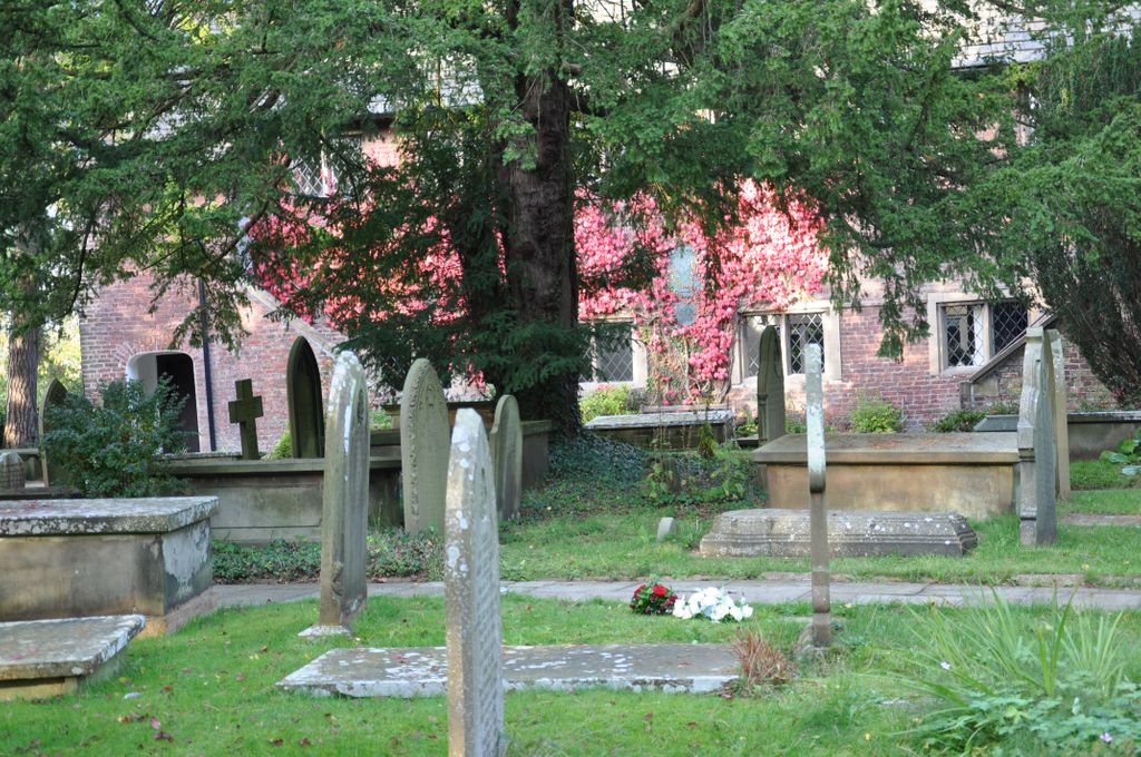
Dean Row Chapelyard is located at Chapel Road Wilmslow, Cheshire East Unitary Authority ,Cheshire , SK9 2BXEngland.
-
Dean Row Chapelyard cemetery's updated grave count on graveviews.com?
0 memorials
-
Where are the coordinates of the Dean Row Chapelyard?
Latitude: 53.3304820
Longitude: -2.1951770


Nearby Cemetories:
1. Christ Church Churchyard
Woodford, Metropolitan Borough of Stockport, England
Coordinate: 53.3375900, -2.1733800
2. Wilmslow Cemetery
Wilmslow, Cheshire East Unitary Authority, England
Coordinate: 53.3374170, -2.2236590
3. St. Bartholomew Churchyard
Wilmslow, Cheshire East Unitary Authority, England
Coordinate: 53.3301250, -2.2296900
4. St Chad
Handforth, Cheshire East Unitary Authority, England
Coordinate: 53.3485000, -2.2148100
5. Bramhall Baptist Church
Bramhall, Metropolitan Borough of Stockport, England
Coordinate: 53.3509311, -2.1644365
6. All Saints Churchyard
Cheadle Hulme, Metropolitan Borough of Stockport, England
Coordinate: 53.3669444, -2.1863889
7. Heald Green United Reformed Church
Heald Green, Metropolitan Borough of Stockport, England
Coordinate: 53.3674480, -2.2165710
8. St. John's Churchyard
Wilmslow, Cheshire East Unitary Authority, England
Coordinate: 53.3122370, -2.2532400
9. Alderley Edge Cemetery
Alderley Edge, Cheshire East Unitary Authority, England
Coordinate: 53.2995180, -2.2530880
10. St George Churchyard
Poynton, Cheshire East Unitary Authority, England
Coordinate: 53.3490610, -2.1231260
11. St Peter Churchyard
Prestbury, Cheshire East Unitary Authority, England
Coordinate: 53.2892070, -2.1505100
12. St Marys Churchyard
Nether Alderley, Cheshire East Unitary Authority, England
Coordinate: 53.2820200, -2.2388500
13. Quaker Burying Ground
Mobberley, Cheshire East Unitary Authority, England
Coordinate: 53.3174300, -2.2872500
14. Ringway St. Mary and All Saints Churchyard
Altrincham, Metropolitan Borough of Trafford, England
Coordinate: 53.3587900, -2.2885800
15. Cheadle Cemetery
Cheadle, Metropolitan Borough of Stockport, England
Coordinate: 53.3927610, -2.2054690
16. Great Warford Baptist Chapel Graveyard
Alderley Edge, Cheshire East Unitary Authority, England
Coordinate: 53.2898500, -2.2769200
17. Alderley Park
Nether Alderley, Cheshire East Unitary Authority, England
Coordinate: 53.2715440, -2.2352370
18. St Mary's Churchyard
Cheadle, Metropolitan Borough of Stockport, England
Coordinate: 53.3944820, -2.2176205
19. Norbury St Thomas Churchyard
Hazel Grove, Metropolitan Borough of Stockport, England
Coordinate: 53.3761440, -2.1160440
20. St. Christopher Churchyard
Pott Shrigley, Cheshire East Unitary Authority, England
Coordinate: 53.3096500, -2.0842900
21. Mill Lane Cemetery
Cheadle, Metropolitan Borough of Stockport, England
Coordinate: 53.3992000, -2.2150800
22. St John the Baptist Churchyard
Bollington, Cheshire East Unitary Authority, England
Coordinate: 53.2969600, -2.0926100
23. St Thomas Churchyard
Henbury, Cheshire East Unitary Authority, England
Coordinate: 53.2594420, -2.1792260
24. Stockport Cemetery and Crematorium
Stockport, Metropolitan Borough of Stockport, England
Coordinate: 53.3979110, -2.1511430