| Memorials | : | 41 |
| Location | : | Quarrington, North Kesteven District, England |
| Coordinate | : | 52.9807077, -0.4549731 |
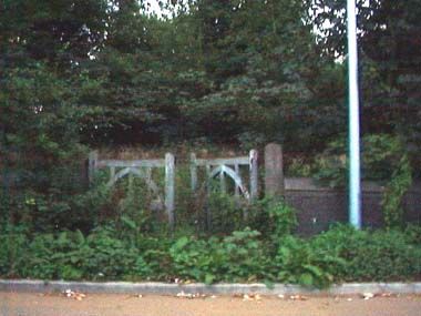
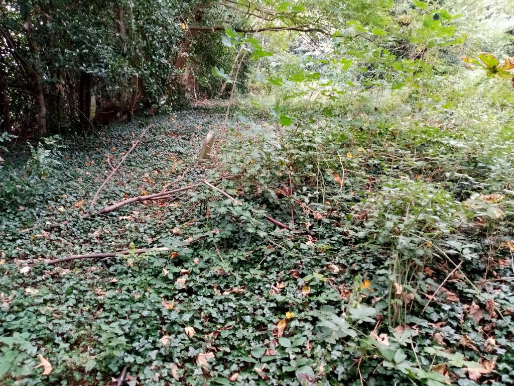
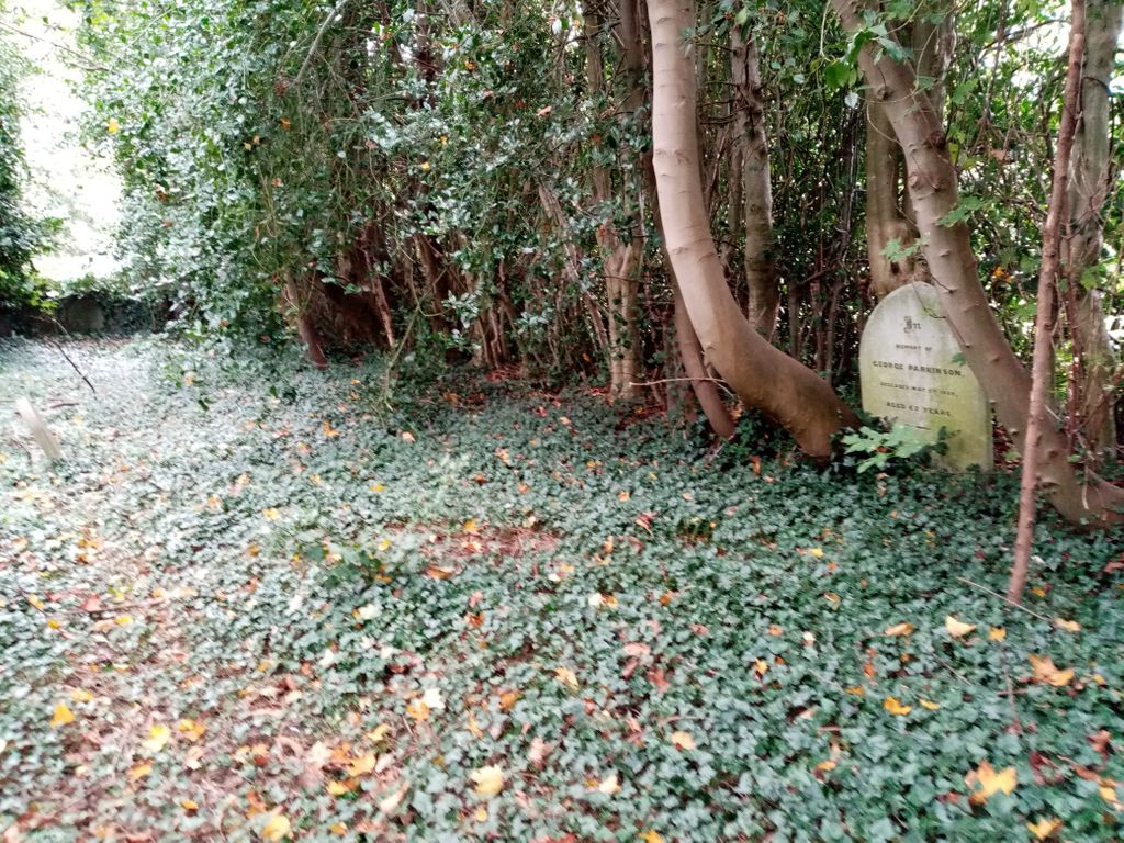
| Description | : | The asylum cemetery lies 300m south-west of the hospital on level ground to the south of Willoughby Road. The site was bought in 1905 and laid out in 1906 (Committee of Visitors Minute Book), it first being used for interment on 11 October of that year. The rectangular cemetery, divided from the road to the north by a wall and entered via iron entrance gates, is laid to lawn and enclosed by mature trees. A further, triangular cemetery lies close by to the north-west, to the east of Brockwater Spinney. There are two graveyards, separated by a farm track, opposite... Read More |
frequently asked questions (FAQ):
-
Where is Rauceby Hospital Cemetery?
Rauceby Hospital Cemetery is located at Willoughby Road Quarrington, North Kesteven District ,Lincolnshire , NG34 8QAEngland.
-
Rauceby Hospital Cemetery cemetery's updated grave count on graveviews.com?
0 memorials
-
Where are the coordinates of the Rauceby Hospital Cemetery?
Latitude: 52.9807077
Longitude: -0.4549731
Nearby Cemetories:
1. St Botolph Churchyard
Quarrington, North Kesteven District, England
Coordinate: 52.9872010, -0.4312350
2. St. Denis Churchyard
Silk Willoughby, North Kesteven District, England
Coordinate: 52.9738460, -0.4268830
3. St Denys Churchyard
Silk Willoughby, North Kesteven District, England
Coordinate: 52.9736976, -0.4263297
4. St Peter's Churchyard
North Rauceby, North Kesteven District, England
Coordinate: 53.0056400, -0.4796500
5. St. Mary's Churchyard
Wilsford, North Kesteven District, England
Coordinate: 52.9751600, -0.5023700
6. St Denys Churchyard
Sleaford, North Kesteven District, England
Coordinate: 52.9996510, -0.4088960
7. Sleaford Cemetery
Sleaford, North Kesteven District, England
Coordinate: 53.0027590, -0.4056790
8. St Andrew Churchyard
Kelby, North Kesteven District, England
Coordinate: 52.9608000, -0.5074000
9. St. Andrew's Churchyard
South Kesteven District, England
Coordinate: 52.9608000, -0.5074000
10. St Thomas Churchyard
Aunsby, North Kesteven District, England
Coordinate: 52.9367820, -0.4470450
11. St. Michael's and All Angels Churchyard
Heydour, South Kesteven District, England
Coordinate: 52.9444900, -0.4987800
12. Saint Michael Churchyard
Heydour, South Kesteven District, England
Coordinate: 52.9443700, -0.4987000
13. St Andrew Churchyard
Leasingham, North Kesteven District, England
Coordinate: 53.0239040, -0.4262600
14. St. Martin Churchyard
Ancaster, South Kesteven District, England
Coordinate: 52.9804810, -0.5377820
15. Ancaster Cemetery
Ancaster, South Kesteven District, England
Coordinate: 52.9814450, -0.5387892
16. St. Lucia Churchyard
Dembleby, North Kesteven District, England
Coordinate: 52.9268000, -0.4512300
17. St Andrew Churchyard
Cranwell, North Kesteven District, England
Coordinate: 53.0370660, -0.4612070
18. St Peter & St Paul Churchyard
Osbournby, North Kesteven District, England
Coordinate: 52.9298800, -0.4105100
19. St. Denys Churchyard
Kirkby la Thorpe, North Kesteven District, England
Coordinate: 53.0008270, -0.3636800
20. St. Andrew's Churchyard
Scredington, North Kesteven District, England
Coordinate: 52.9498300, -0.3701700
21. St. Andrew's Churchyard
Asgarby, North Kesteven District, England
Coordinate: 52.9941750, -0.3383450
22. St. Andrew Churchyard
Burton Pedwardine, North Kesteven District, England
Coordinate: 52.9646176, -0.3348618
23. All Saints Churchyard
Ruskington, North Kesteven District, England
Coordinate: 53.0460330, -0.3866280
24. All Saints Churchyard
Brauncewell, North Kesteven District, England
Coordinate: 53.0587900, -0.4418200


