
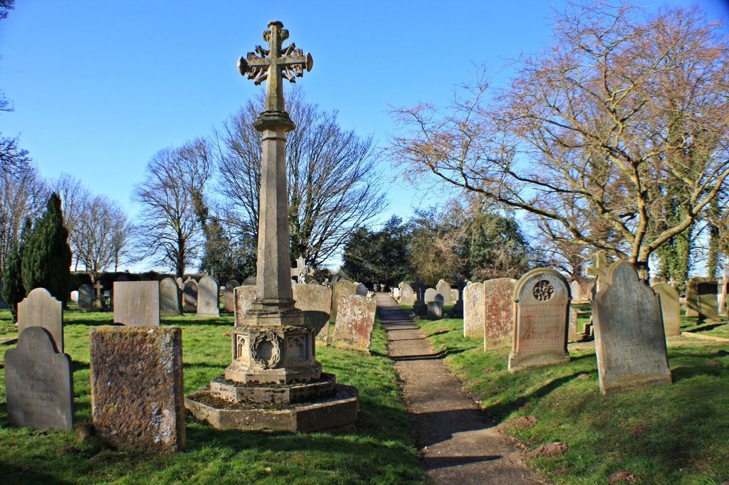
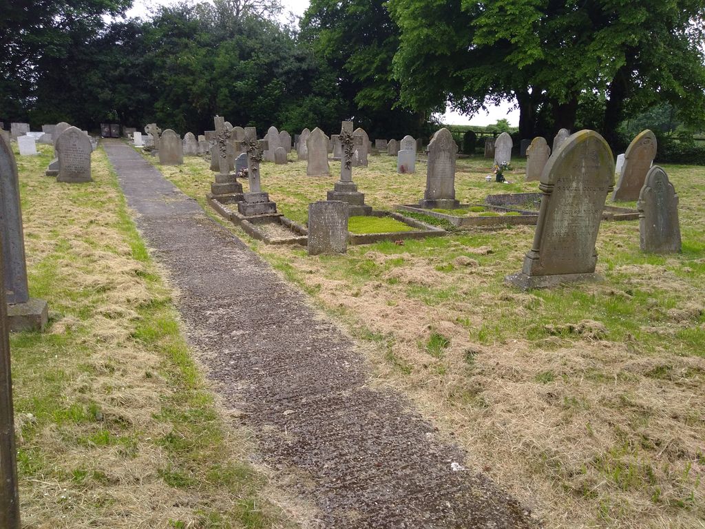
| Memorials | : | 20 |
| Location | : | North Rauceby, North Kesteven District, England |
| Coordinate | : | 53.0056400, -0.4796500 |
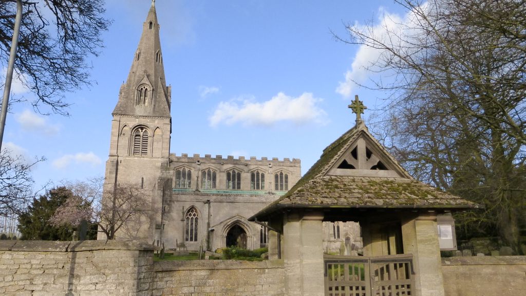
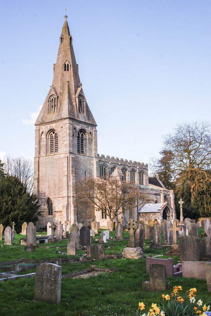
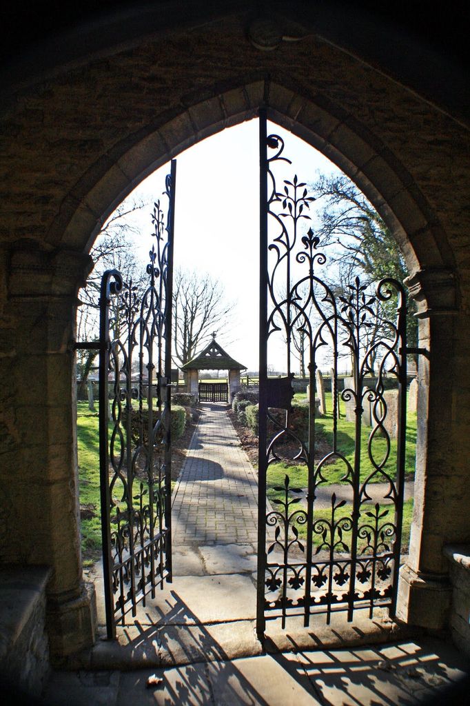
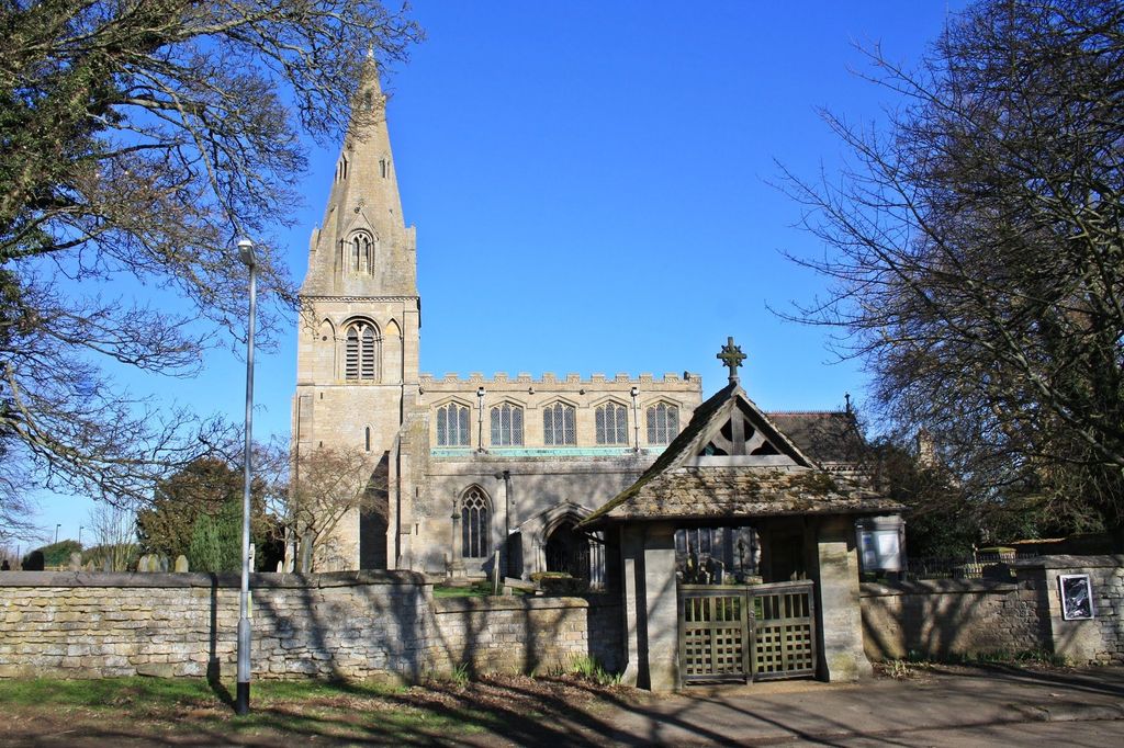
| Description | : | Grade II listed, Saint Peter, is an ancient structure built of Ancaster stone and restored in 1853. The spire is thought to be of late 12th or early 13th century origin. The church chancel was erected in the 16th century. The parish now includes South Rauceby, which used to have its own parish church, Saint James, but it was pulled down before 1640 and all traces of it had disappeared by 1871. |
frequently asked questions (FAQ):
-
Where is St Peter's Churchyard?
St Peter's Churchyard is located at North Rauceby, North Kesteven District ,Lincolnshire ,England.
-
St Peter's Churchyard cemetery's updated grave count on graveviews.com?
20 memorials
-
Where are the coordinates of the St Peter's Churchyard?
Latitude: 53.0056400
Longitude: -0.4796500
Nearby Cemetories:
1. Rauceby Hospital Cemetery
Quarrington, North Kesteven District, England
Coordinate: 52.9807077, -0.4549731
2. St Andrew Churchyard
Cranwell, North Kesteven District, England
Coordinate: 53.0370660, -0.4612070
3. St. Mary's Churchyard
Wilsford, North Kesteven District, England
Coordinate: 52.9751600, -0.5023700
4. St Botolph Churchyard
Quarrington, North Kesteven District, England
Coordinate: 52.9872010, -0.4312350
5. St Andrew Churchyard
Leasingham, North Kesteven District, England
Coordinate: 53.0239040, -0.4262600
6. St Denys Churchyard
Sleaford, North Kesteven District, England
Coordinate: 52.9996510, -0.4088960
7. Ancaster Cemetery
Ancaster, South Kesteven District, England
Coordinate: 52.9814450, -0.5387892
8. St. Martin Churchyard
Ancaster, South Kesteven District, England
Coordinate: 52.9804810, -0.5377820
9. Sleaford Cemetery
Sleaford, North Kesteven District, England
Coordinate: 53.0027590, -0.4056790
10. St. Denis Churchyard
Silk Willoughby, North Kesteven District, England
Coordinate: 52.9738460, -0.4268830
11. St Denys Churchyard
Silk Willoughby, North Kesteven District, England
Coordinate: 52.9736976, -0.4263297
12. St Andrew Churchyard
Kelby, North Kesteven District, England
Coordinate: 52.9608000, -0.5074000
13. St. Andrew's Churchyard
South Kesteven District, England
Coordinate: 52.9608000, -0.5074000
14. All Saints Churchyard
Brauncewell, North Kesteven District, England
Coordinate: 53.0587900, -0.4418200
15. St. Michael's and All Angels Churchyard
Heydour, South Kesteven District, England
Coordinate: 52.9444900, -0.4987800
16. Saint Michael Churchyard
Heydour, South Kesteven District, England
Coordinate: 52.9443700, -0.4987000
17. St Nicholas Churchyard
Normanton, South Kesteven District, England
Coordinate: 53.0051390, -0.5874570
18. St. Nicholas Churchyard
Carlton Scroop, South Kesteven District, England
Coordinate: 52.9940290, -0.5895960
19. All Saints Churchyard
Ruskington, North Kesteven District, England
Coordinate: 53.0460330, -0.3866280
20. St. Denys Churchyard
Kirkby la Thorpe, North Kesteven District, England
Coordinate: 53.0008270, -0.3636800
21. St Thomas Churchyard
Aunsby, North Kesteven District, England
Coordinate: 52.9367820, -0.4470450
22. St. Nicholas Churchyard
Fulbeck, South Kesteven District, England
Coordinate: 53.0426840, -0.5871030
23. St. Wilfrid Churchyard
Honington, South Kesteven District, England
Coordinate: 52.9795600, -0.5965700
24. St. Vincent Churchyard
Caythorpe, South Kesteven District, England
Coordinate: 53.0261420, -0.6015930