
| Memorials | : | 103 |
| Location | : | Cranwell, North Kesteven District, England |
| Coordinate | : | 53.0370660, -0.4612070 |
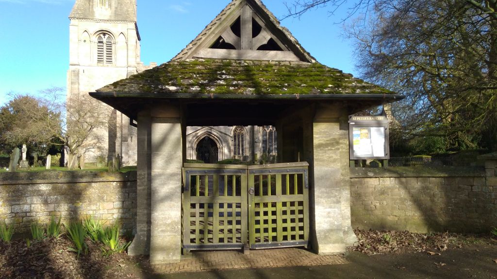
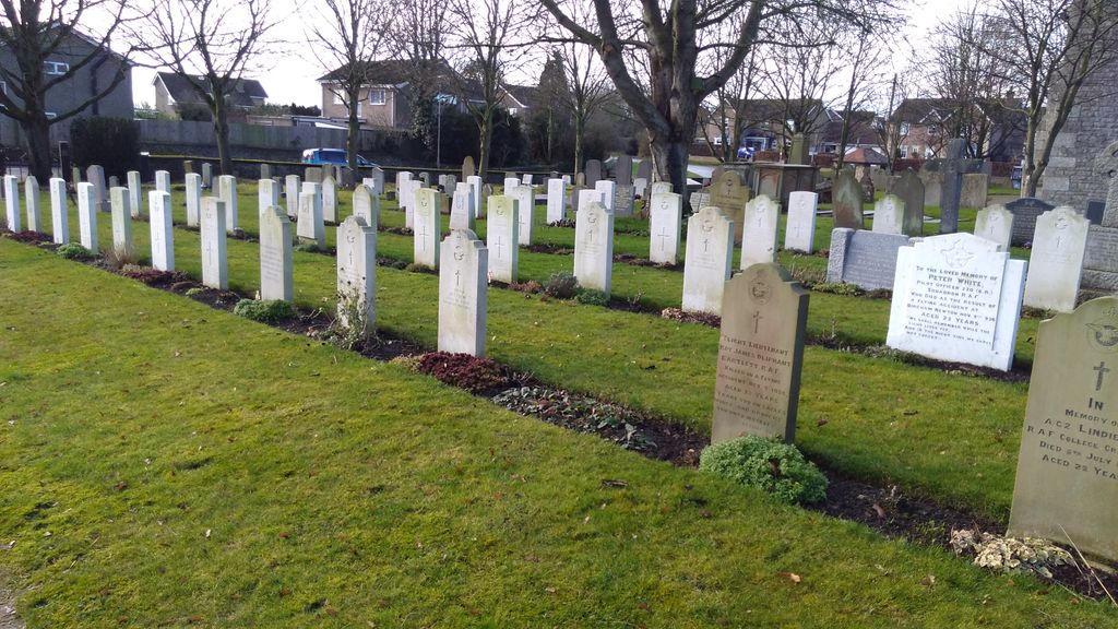
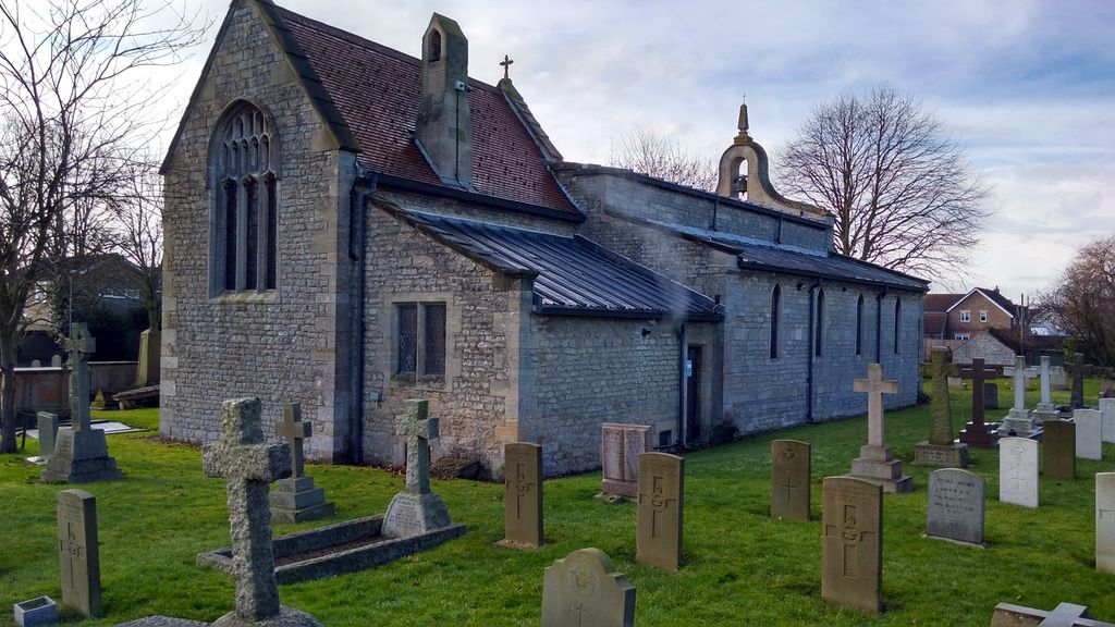
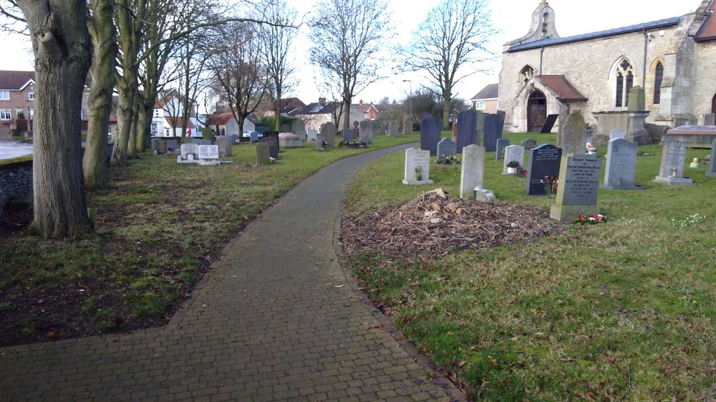
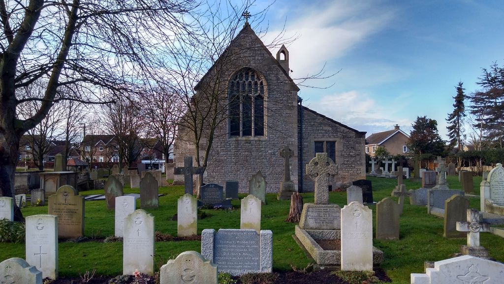
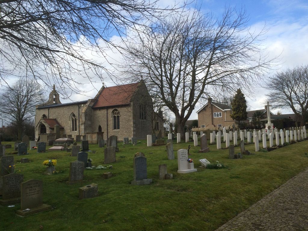
| Description | : | Cranwell is a village three miles north-west of Sleaford, west of the A15 to Lincoln along the B1429. The churchyard is on the north side of this main road through the village. Cranwell was a flying training centre since the First World War when the Admiralty requisitioned 2500 acres of the Earl of Bristol's estate in November 1915, to create the Royal Naval Air Service Central Training Depot. Since then the aerodrome has been taken over by the Royal Air Force and the RAF Staff College is at Cranwell. The graves of 25 First World War airmen will be found on... Read More |
frequently asked questions (FAQ):
-
Where is St Andrew Churchyard?
St Andrew Churchyard is located at Cranwell, North Kesteven District ,Lincolnshire ,England.
-
St Andrew Churchyard cemetery's updated grave count on graveviews.com?
103 memorials
-
Where are the coordinates of the St Andrew Churchyard?
Latitude: 53.0370660
Longitude: -0.4612070
Nearby Cemetories:
1. All Saints Churchyard
Brauncewell, North Kesteven District, England
Coordinate: 53.0587900, -0.4418200
2. St Andrew Churchyard
Leasingham, North Kesteven District, England
Coordinate: 53.0239040, -0.4262600
3. St Peter's Churchyard
North Rauceby, North Kesteven District, England
Coordinate: 53.0056400, -0.4796500
4. All Saints Churchyard
Ruskington, North Kesteven District, England
Coordinate: 53.0460330, -0.3866280
5. Sleaford Cemetery
Sleaford, North Kesteven District, England
Coordinate: 53.0027590, -0.4056790
6. St Denys Churchyard
Sleaford, North Kesteven District, England
Coordinate: 52.9996510, -0.4088960
7. St Botolph Churchyard
Quarrington, North Kesteven District, England
Coordinate: 52.9872010, -0.4312350
8. Rauceby Hospital Cemetery
Quarrington, North Kesteven District, England
Coordinate: 52.9807077, -0.4549731
9. St Thomas Becket Churchyard
Digby, North Kesteven District, England
Coordinate: 53.0796030, -0.3882980
10. St. Denis Churchyard
Silk Willoughby, North Kesteven District, England
Coordinate: 52.9738460, -0.4268830
11. St. Mary's Churchyard
Wilsford, North Kesteven District, England
Coordinate: 52.9751600, -0.5023700
12. St Denys Churchyard
Silk Willoughby, North Kesteven District, England
Coordinate: 52.9736976, -0.4263297
13. St. Denys Churchyard
Kirkby la Thorpe, North Kesteven District, England
Coordinate: 53.0008270, -0.3636800
14. St. Chad's Churchyard
Welbourn, North Kesteven District, England
Coordinate: 53.0790350, -0.5554450
15. Ancaster Cemetery
Ancaster, South Kesteven District, England
Coordinate: 52.9814450, -0.5387892
16. St. Martin Churchyard
Ancaster, South Kesteven District, England
Coordinate: 52.9804810, -0.5377820
17. Anwick Church Lane Churchyard Extension
Anwick, North Kesteven District, England
Coordinate: 53.0420800, -0.3397200
18. St Edith's Church
Anwick, North Kesteven District, England
Coordinate: 53.0414520, -0.3391170
19. All Saints Churchyard
Wellingore, North Kesteven District, England
Coordinate: 53.0970300, -0.5346000
20. St Swithun Churchyard
Leadenham, North Kesteven District, England
Coordinate: 53.0545070, -0.5835610
21. St. Nicholas Churchyard
Fulbeck, South Kesteven District, England
Coordinate: 53.0426840, -0.5871030
22. Navenby Cemetery
Navenby, North Kesteven District, England
Coordinate: 53.1081630, -0.5208700
23. Holy Cross Churchyard
Scopwick, North Kesteven District, England
Coordinate: 53.1089480, -0.4032690
24. Holy Cross Churchyard Extension
Scopwick, North Kesteven District, England
Coordinate: 53.1105880, -0.4044990