
| Memorials | : | 0 |
| Location | : | Independence, Kenton County, USA |
| Coordinate | : | 38.9433300, -84.6002800 |
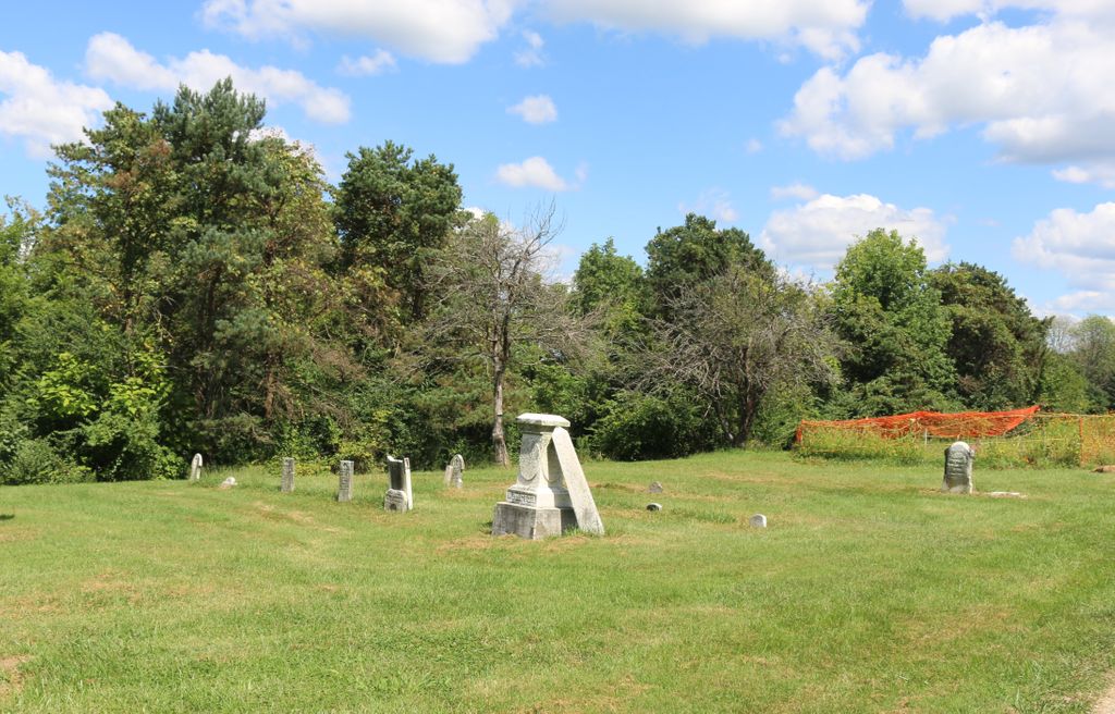
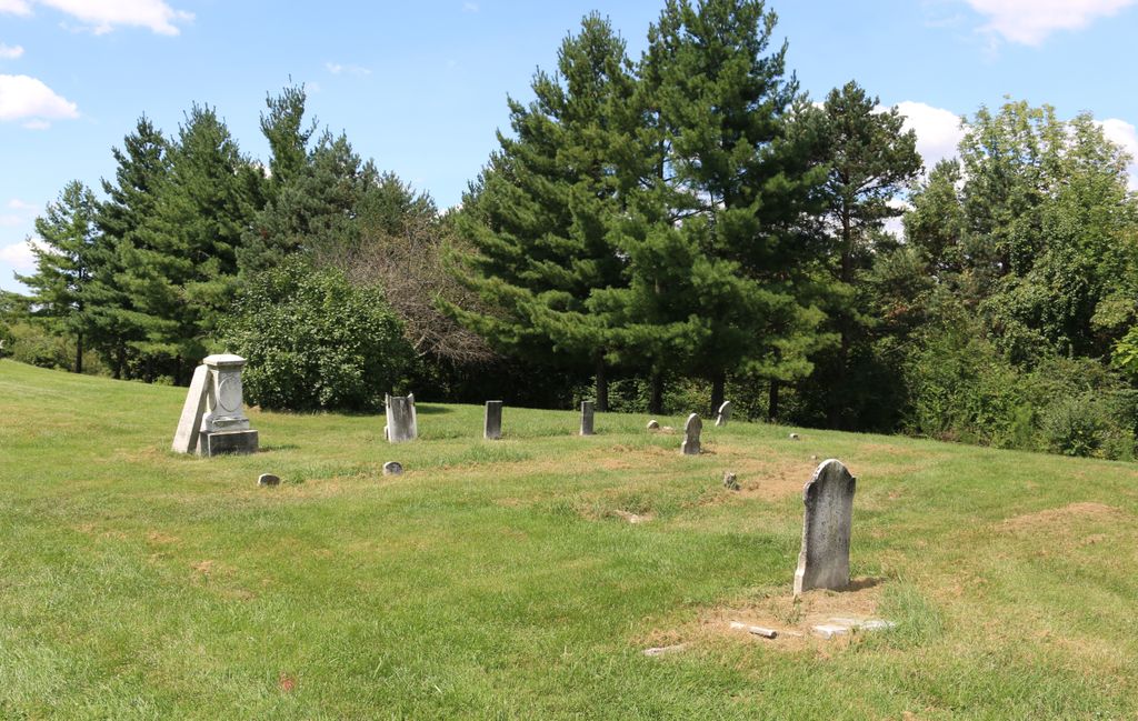
| Description | : | The cemetery is on private property on the north side of Hogrefe Road about 1000 feet west of its intersection with Sinclair Drive. The cemetery is listed as Rector Cemetery on page 75 of Small Kenton County, Kentucky, Cemeteries, published by the Kenton County Historical Society, Cemetery Committee, and on page 75 of Kenton County Cemeteries, published by the Kenton County Historical Society, Covington, Kentucky, 1981. The cemetery inscriptions were recorded on 18 September 1977, reporting 10 graves identifiable by inscription and 1 unidentifiable graves. The cemetery location is given as latitude 38° 56’ 36” and longitude 84° 35’ 56”... Read More |
frequently asked questions (FAQ):
-
Where is Rector Cemetery?
Rector Cemetery is located at 496 Hogrefe Road Independence, Kenton County ,Kentucky , 41051USA.
-
Rector Cemetery cemetery's updated grave count on graveviews.com?
0 memorials
-
Where are the coordinates of the Rector Cemetery?
Latitude: 38.9433300
Longitude: -84.6002800
Nearby Cemetories:
1. Dewire Cemetery
Ricedale, Kenton County, USA
Coordinate: 38.9361110, -84.5963890
2. Lewis Rice Cemetery (Defunct)
Florence, Boone County, USA
Coordinate: 38.9427780, -84.6169440
3. Wilson-Williams Cemetery
Ricedale, Kenton County, USA
Coordinate: 38.9409840, -84.5832880
4. Grubbs Cemetery
Richwood, Boone County, USA
Coordinate: 38.9366260, -84.6262810
5. Stephens Family Cemetery
Erlanger, Kenton County, USA
Coordinate: 38.9684470, -84.6119950
6. Carpenter Cemetery
Boone County, USA
Coordinate: 38.9258070, -84.6281840
7. Dixon Cemetery
Florence, Boone County, USA
Coordinate: 38.9702780, -84.6152780
8. Butts-Snow-Loar Cemetery
Union, Boone County, USA
Coordinate: 38.9328660, -84.6396090
9. Hoffman Cemetery
Independence, Kenton County, USA
Coordinate: 38.9616670, -84.5630560
10. B'Hymer Cemetery
Independence, Kenton County, USA
Coordinate: 38.9525000, -84.5575000
11. Lampton Family Cemetery
Richwood, Boone County, USA
Coordinate: 38.9104350, -84.6151260
12. Marshall Family Cemetery
Union, Boone County, USA
Coordinate: 38.9438890, -84.6455560
13. John Stephens Cemetery
Florence, Boone County, USA
Coordinate: 38.9779730, -84.6171670
14. Glackin Family Cemetery
Richwood, Boone County, USA
Coordinate: 38.9130050, -84.6302180
15. Booth Family Cemetery
Union, Boone County, USA
Coordinate: 38.9265990, -84.6450410
16. Piper Family Cemetery
Florence, Boone County, USA
Coordinate: 38.9555050, -84.6514690
17. Saint Cecilias Cemetery
Independence, Kenton County, USA
Coordinate: 38.9397011, -84.5466995
18. Clarkson Family Cemetery
Union, Boone County, USA
Coordinate: 38.9401620, -84.6559290
19. Carter Family Cemetery
Union, Boone County, USA
Coordinate: 38.9370090, -84.6565470
20. Independence Cemetery
Independence, Kenton County, USA
Coordinate: 38.9364014, -84.5419006
21. Hoffman-Grubbs Cemetery
Florence, Boone County, USA
Coordinate: 38.9841670, -84.6283330
22. Margaret Aylor Cemetery
Florence, Boone County, USA
Coordinate: 38.9765250, -84.6447020
23. Tanner Family Cemetery
Florence, Boone County, USA
Coordinate: 38.9653710, -84.6551220
24. Cleek Cemetery (Defunct)
Union, Boone County, USA
Coordinate: 38.9341620, -84.6634140