
| Memorials | : | 1 |
| Location | : | Richwood, Boone County, USA |
| Coordinate | : | 38.9366260, -84.6262810 |
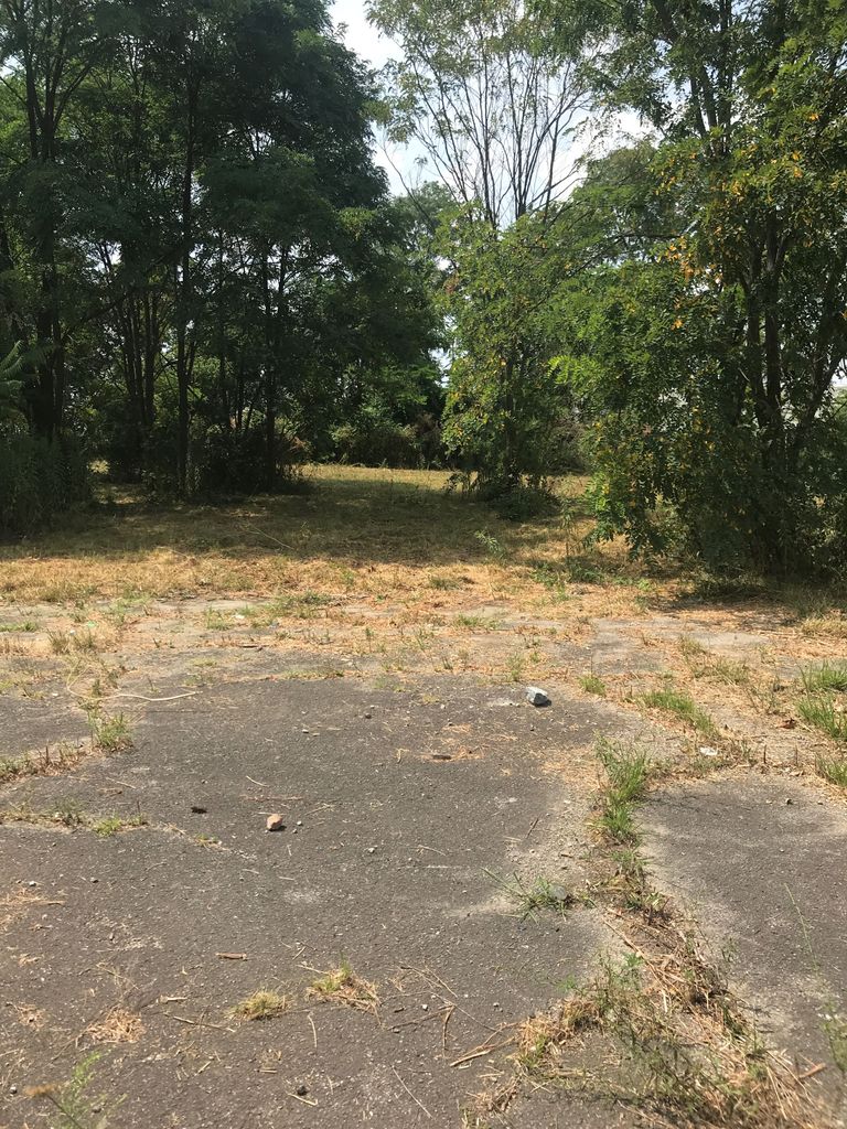
| Description | : | The cemetery is located on the west side of Dixie Highway (US 25) about 0.2 miles south of its intersection with Maher Road. Burials occurred between 1862 and 1943. The Boone County GIS unique ID assigned to this cemetery is 76 (Grubbs Cemetery). The cemetery has an index number of 77 (Grubbs) on the Boone County Kentucky Cemetery Map published in 2005 by the Boone County Planning Commission in conjunction with Johnson-Wilson Cemetery Stewards Association. The cemetery is identified as Grubbs in the index and listed as Grubbs Cemetery on page 337 of the book “Boone County, Kentucky Cemeteries” by Stephen W. Worrel,... Read More |
frequently asked questions (FAQ):
-
Where is Grubbs Cemetery?
Grubbs Cemetery is located at 19637 Dixie Highway (US 25) Richwood, Boone County ,Kentucky , 41094USA.
-
Grubbs Cemetery cemetery's updated grave count on graveviews.com?
0 memorials
-
Where are the coordinates of the Grubbs Cemetery?
Latitude: 38.9366260
Longitude: -84.6262810
Nearby Cemetories:
1. Lewis Rice Cemetery (Defunct)
Florence, Boone County, USA
Coordinate: 38.9427780, -84.6169440
2. Carpenter Cemetery
Boone County, USA
Coordinate: 38.9258070, -84.6281840
3. Butts-Snow-Loar Cemetery
Union, Boone County, USA
Coordinate: 38.9328660, -84.6396090
4. Marshall Family Cemetery
Union, Boone County, USA
Coordinate: 38.9438890, -84.6455560
5. Booth Family Cemetery
Union, Boone County, USA
Coordinate: 38.9265990, -84.6450410
6. Rector Cemetery
Independence, Kenton County, USA
Coordinate: 38.9433300, -84.6002800
7. Dewire Cemetery
Ricedale, Kenton County, USA
Coordinate: 38.9361110, -84.5963890
8. Clarkson Family Cemetery
Union, Boone County, USA
Coordinate: 38.9401620, -84.6559290
9. Carter Family Cemetery
Union, Boone County, USA
Coordinate: 38.9370090, -84.6565470
10. Glackin Family Cemetery
Richwood, Boone County, USA
Coordinate: 38.9130050, -84.6302180
11. Piper Family Cemetery
Florence, Boone County, USA
Coordinate: 38.9555050, -84.6514690
12. Lampton Family Cemetery
Richwood, Boone County, USA
Coordinate: 38.9104350, -84.6151260
13. Cleek Cemetery (Defunct)
Union, Boone County, USA
Coordinate: 38.9341620, -84.6634140
14. Bethel Baptist Church Cemetery
Union, Boone County, USA
Coordinate: 38.9356040, -84.6677790
15. Stephens Family Cemetery
Erlanger, Kenton County, USA
Coordinate: 38.9684470, -84.6119950
16. Wilson-Williams Cemetery
Ricedale, Kenton County, USA
Coordinate: 38.9409840, -84.5832880
17. Union Rice Cemetery
Union, Boone County, USA
Coordinate: 38.9481010, -84.6675034
18. Dixon Cemetery
Florence, Boone County, USA
Coordinate: 38.9702780, -84.6152780
19. Tanner Family Cemetery
Florence, Boone County, USA
Coordinate: 38.9653710, -84.6551220
20. Philip Baker Cemetery (Defunct)
Union, Boone County, USA
Coordinate: 38.9338890, -84.6730560
21. Hamilton Cemetery
Union, Boone County, USA
Coordinate: 38.9547410, -84.6687910
22. Stansifer-Utz Cemetery
Union, Boone County, USA
Coordinate: 38.9419289, -84.6791534
23. John Stephens Cemetery
Florence, Boone County, USA
Coordinate: 38.9779730, -84.6171670
24. Richwood Presbyterian Cemetery
Walton, Boone County, USA
Coordinate: 38.8994500, -84.6516300