| Memorials | : | 4 |
| Location | : | West Fork, Washington County, USA |
| Coordinate | : | 35.9630800, -94.2051510 |
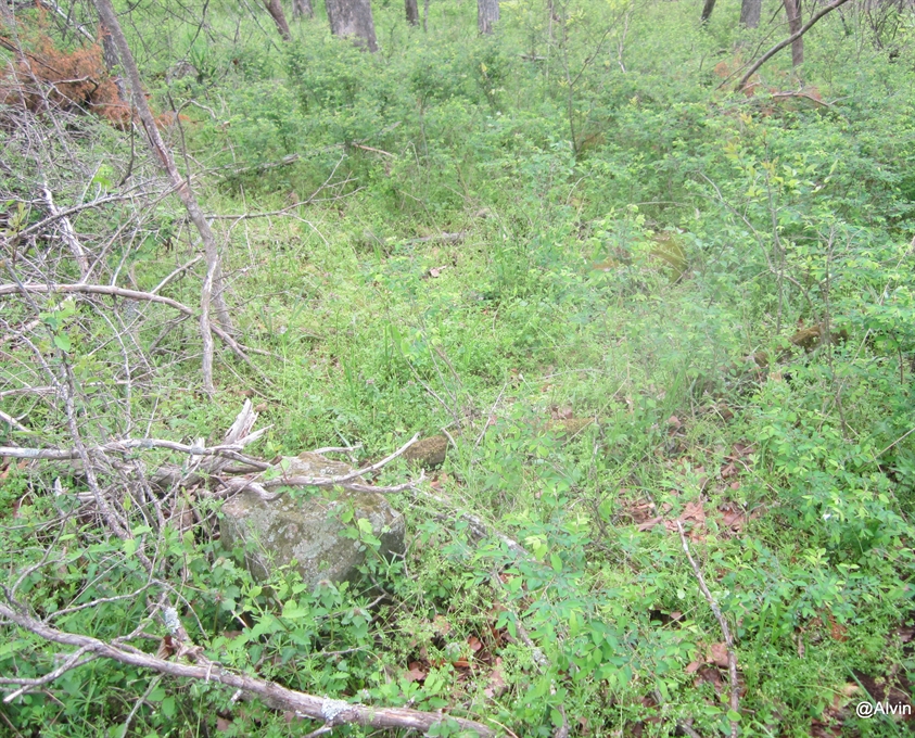
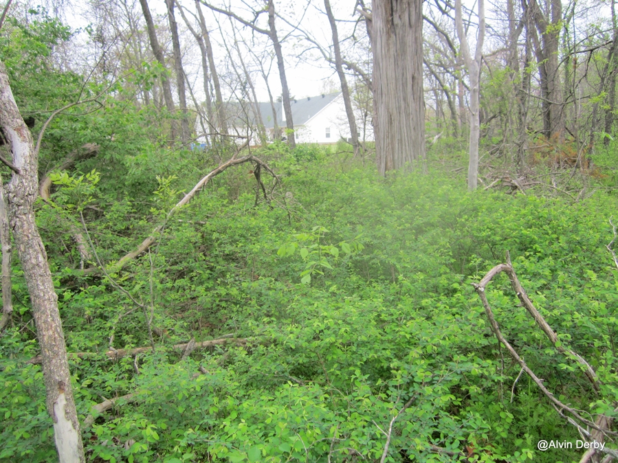
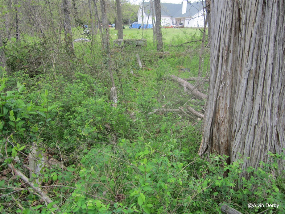
| Description | : | This small family cemetery sits on the old Anthony Alvis Reed Farm. Alvis Reed settled here around 1828. It is surrounded by a stone wall. I thas not been clean for over forty years,and is in sad shape. There are two huge cedar trees in the middle of the cemetery,one of which engulfed a footstone! It is in Section 19-15-30,the SW Corner of the SW 1/4 of the NE 1/4. There are four marked graves in here and about two unmarked graves, |
frequently asked questions (FAQ):
-
Where is Reed Cemetery?
Reed Cemetery is located at West Fork, Washington County ,Arkansas ,USA.
-
Reed Cemetery cemetery's updated grave count on graveviews.com?
4 memorials
-
Where are the coordinates of the Reed Cemetery?
Latitude: 35.9630800
Longitude: -94.2051510
Nearby Cemetories:
1. Bryant Cemetery
Washington County, USA
Coordinate: 35.9514250, -94.2011060
2. John A Rutherford - Martin Cemetery
Washington County, USA
Coordinate: 35.9513950, -94.2011490
3. Campbell Church Cemetery
West Fork, Washington County, USA
Coordinate: 35.9583015, -94.1903000
4. Dale Family Cemetery
Hogeye, Washington County, USA
Coordinate: 35.9651640, -94.2322680
5. Barron Cemetery
Greenland, Washington County, USA
Coordinate: 35.9599440, -94.2355570
6. Black Oak Cemetery
Greenland, Washington County, USA
Coordinate: 35.9815480, -94.2291780
7. Boone Pioneer Cemetery
Greenland, Washington County, USA
Coordinate: 35.9880050, -94.1916090
8. Greenland Cemetery
Greenland, Washington County, USA
Coordinate: 35.9643900, -94.1696800
9. Union Cemetery
Greenland, Washington County, USA
Coordinate: 35.9805984, -94.1735992
10. Baptist Ford Cemetery
Greenland, Washington County, USA
Coordinate: 35.9803160, -94.1724660
11. West Fork Cemetery
West Fork, Washington County, USA
Coordinate: 35.9324989, -94.1932983
12. John Westley Rutherford Cemetery
Washington County, USA
Coordinate: 35.9486760, -94.1669400
13. Stevenson Leach Cemetery
Prairie Grove, Washington County, USA
Coordinate: 35.9586000, -94.2524000
14. Illinois Chapel Cemetery
Prairie Grove, Washington County, USA
Coordinate: 35.9736350, -94.2643590
15. Carney Cemetery
Washington County, USA
Coordinate: 35.9242710, -94.2484530
16. Rieff Chapel Cemetery
Washington County, USA
Coordinate: 36.0158005, -94.2082977
17. Karnes Cemetery
West Fork, Washington County, USA
Coordinate: 35.9084930, -94.1865082
18. Cemetery Hill Memorial Park
Farmington, Washington County, USA
Coordinate: 36.0175018, -94.2358017
19. Friendship Cemetery
West Fork, Washington County, USA
Coordinate: 35.9043740, -94.2217230
20. Stelle Family Cemetery
Greenland, Washington County, USA
Coordinate: 36.0066010, -94.1501070
21. Joseph Samuel Wilson Farm Cemetery
Washington County, USA
Coordinate: 35.9975470, -94.1403760
22. Miller Cemetery
Greenland, Washington County, USA
Coordinate: 36.0195580, -94.1694641
23. Phillips Cemetery
Hogeye, Washington County, USA
Coordinate: 35.9119760, -94.2556360
24. Sharp Cemetery
Prairie Grove, Washington County, USA
Coordinate: 35.9393997, -94.2827988


