
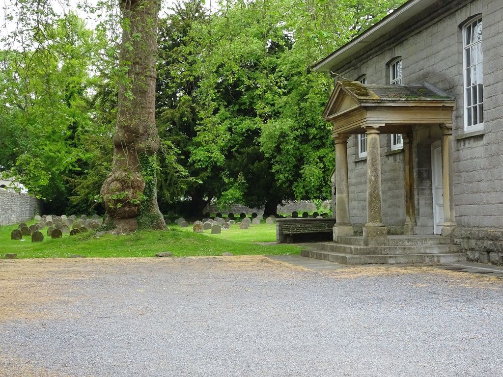
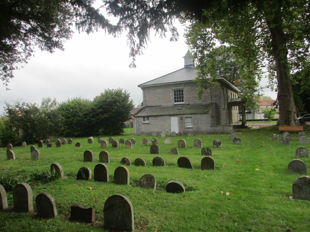
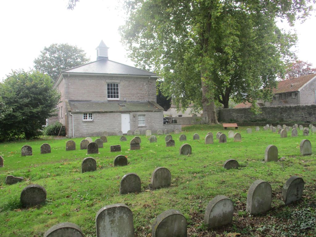
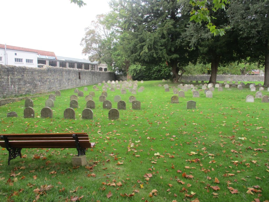
| Memorials | : | 1 |
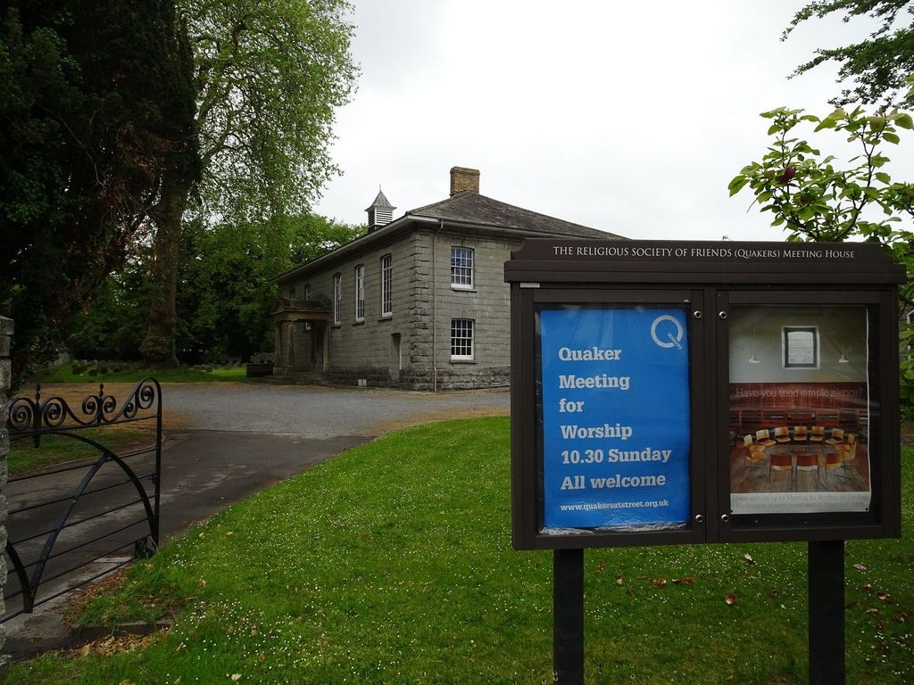
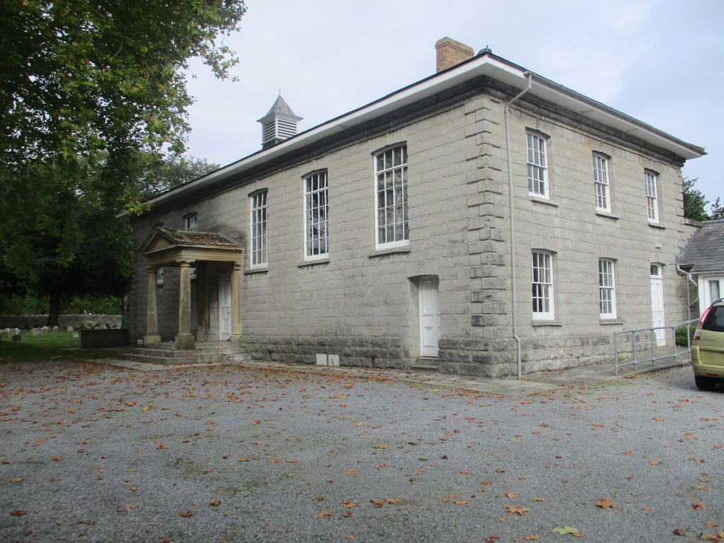
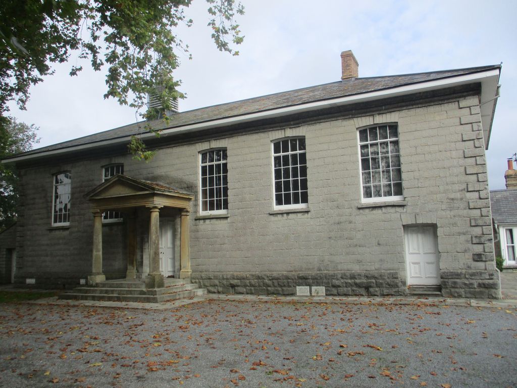
| Location | : | Street, Mendip District, England |
| Coordinate | : | 51.1294100, -2.7375630 |
frequently asked questions (FAQ):
-
Where is Religious Society of Friends Quaker Cemetery?
Religious Society of Friends Quaker Cemetery is located at 36 High Street Street, Mendip District ,Somerset , BA16 0EBEngland.
-
Religious Society of Friends Quaker Cemetery cemetery's updated grave count on graveviews.com?
1 memorials
-
Where are the coordinates of the Religious Society of Friends Quaker Cemetery?
Latitude: 51.1294100
Longitude: -2.7375630
Nearby Cemetories:
1. Holy Trinity Churchyard
Street, Mendip District, England
Coordinate: 51.1310100, -2.7330800
2. Street Cemetery
Street, Mendip District, England
Coordinate: 51.1302840, -2.7508240
3. St Benedict Churchyard
Glastonbury, Mendip District, England
Coordinate: 51.1465970, -2.7196900
4. Holy Trinity Churchyard Extension
Walton, Mendip District, England
Coordinate: 51.1234150, -2.7695832
5. Holy Trinity Churchyard
Walton, Mendip District, England
Coordinate: 51.1236200, -2.7709580
6. Glastonbury Abbey
Glastonbury, Mendip District, England
Coordinate: 51.1464996, -2.7151000
7. Saint John the Baptist Churchyard
Glastonbury, Mendip District, England
Coordinate: 51.1481520, -2.7161400
8. Glastonbury Cemetery
Glastonbury, Mendip District, England
Coordinate: 51.1565160, -2.7132380
9. Saint Andrew Churchyard
Compton Dundon, South Somerset District, England
Coordinate: 51.0897330, -2.7442800
10. St Leonard Churchyard
Butleigh, Mendip District, England
Coordinate: 51.1025800, -2.6868850
11. All Saint's Churchyard
Ashcott, Sedgemoor District, England
Coordinate: 51.1309220, -2.8058870
12. Holy Trinity Church
Godney, Mendip District, England
Coordinate: 51.1793400, -2.7377400
13. St. Mary & All Saints Churchyard
Meare, Mendip District, England
Coordinate: 51.1715900, -2.7804100
14. St. Dunstan Churchyard
Baltonsborough, Mendip District, England
Coordinate: 51.1107200, -2.6557600
15. Blessed Virgin Mary Churchyard
Shapwick, Sedgemoor District, England
Coordinate: 51.1405090, -2.8336100
16. St Nicholas Churchyard
West Pennard, Mendip District, England
Coordinate: 51.1415596, -2.6413050
17. All Saints Churchyard
Kingweston, South Somerset District, England
Coordinate: 51.0793076, -2.6791489
18. St. Michael and All Angels Churchyard
Greinton, Sedgemoor District, England
Coordinate: 51.1240140, -2.8408590
19. Saint James Churchyard
West Bradley, Mendip District, England
Coordinate: 51.1293030, -2.6332386
20. Christ Church
Coxley, Mendip District, England
Coordinate: 51.1869530, -2.6797580
21. St. David's Churchyard
Barton St David, South Somerset District, England
Coordinate: 51.0828220, -2.6585470
22. Coxley Methodist Churchyard
Coxley, Mendip District, England
Coordinate: 51.1918900, -2.6723700
23. St. Andrew's Churchyard
High Ham, South Somerset District, England
Coordinate: 51.0760320, -2.8218400
24. High Ham Cemetery
High Ham, South Somerset District, England
Coordinate: 51.0739931, -2.8216351