
| Memorials | : | 18 |
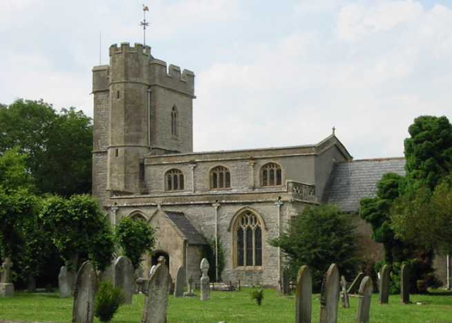
| Location | : | Meare, Mendip District, England |
| Coordinate | : | 51.1715900, -2.7804100 |
| Description | : | There are three WWI wargraves in the churchyard. |
frequently asked questions (FAQ):
-
Where is St. Mary & All Saints Churchyard?
St. Mary & All Saints Churchyard is located at St Mary's Road Meare, Mendip District ,Somerset , BA6 9THEngland.
-
St. Mary & All Saints Churchyard cemetery's updated grave count on graveviews.com?
18 memorials
-
Where are the coordinates of the St. Mary & All Saints Churchyard?
Latitude: 51.1715900
Longitude: -2.7804100
Nearby Cemetories:
1. Holy Trinity Church
Godney, Mendip District, England
Coordinate: 51.1793400, -2.7377400
2. Christ Church Theale
Wedmore, Sedgemoor District, England
Coordinate: 51.2113720, -2.7631570
3. All Saint's Churchyard
Ashcott, Sedgemoor District, England
Coordinate: 51.1309220, -2.8058870
4. Glastonbury Cemetery
Glastonbury, Mendip District, England
Coordinate: 51.1565160, -2.7132380
5. Street Cemetery
Street, Mendip District, England
Coordinate: 51.1302840, -2.7508240
6. St Benedict Churchyard
Glastonbury, Mendip District, England
Coordinate: 51.1465970, -2.7196900
7. Blessed Virgin Mary Churchyard
Shapwick, Sedgemoor District, England
Coordinate: 51.1405090, -2.8336100
8. Saint John the Baptist Churchyard
Glastonbury, Mendip District, England
Coordinate: 51.1481520, -2.7161400
9. Glastonbury Abbey
Glastonbury, Mendip District, England
Coordinate: 51.1464996, -2.7151000
10. Holy Trinity Churchyard
Walton, Mendip District, England
Coordinate: 51.1236200, -2.7709580
11. Christ Church Churchyard
Henton, Mendip District, England
Coordinate: 51.2056460, -2.7256380
12. Holy Trinity Churchyard Extension
Walton, Mendip District, England
Coordinate: 51.1234150, -2.7695832
13. Religious Society of Friends Quaker Cemetery
Street, Mendip District, England
Coordinate: 51.1294100, -2.7375630
14. Holy Trinity Churchyard
Street, Mendip District, England
Coordinate: 51.1310100, -2.7330800
15. St. Philip and St. James Churchyard
Burtle, Sedgemoor District, England
Coordinate: 51.1856232, -2.8665409
16. Baptist Churchyard
Wedmore, Sedgemoor District, England
Coordinate: 51.2260400, -2.8099800
17. Saint Peter Churchyard
Catcott, Sedgemoor District, England
Coordinate: 51.1494920, -2.8671220
18. St. Mary Churchyard
Wedmore, Sedgemoor District, England
Coordinate: 51.2276790, -2.8110360
19. St. Michael and All Angels Churchyard
Greinton, Sedgemoor District, England
Coordinate: 51.1240140, -2.8408590
20. St. Mary Magdalene Churchyard Extension
Wedmore, Sedgemoor District, England
Coordinate: 51.2327583, -2.8065246
21. Saint George Churchyard
Edington, Sedgemoor District, England
Coordinate: 51.1540010, -2.8778350
22. Christ Church
Coxley, Mendip District, England
Coordinate: 51.1869530, -2.6797580
23. Blessed Virgin Mary Churchyard
Moorlinch, Sedgemoor District, England
Coordinate: 51.1280000, -2.8616000
24. St. Matthew Churchyard
Wookey, Mendip District, England
Coordinate: 51.2093000, -2.6893000